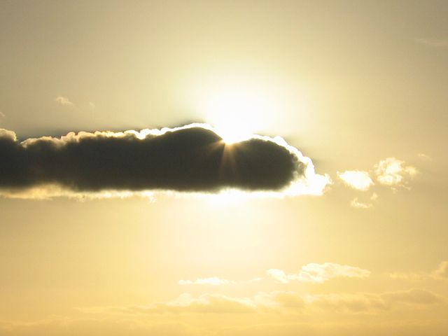
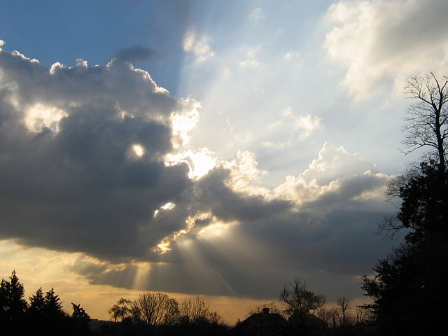
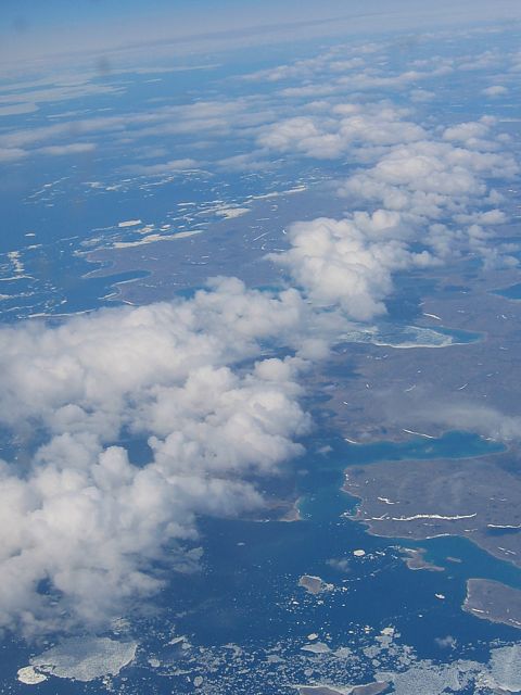
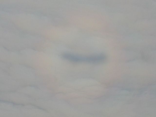
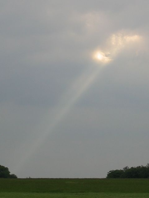
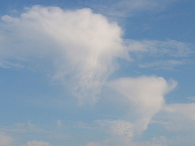
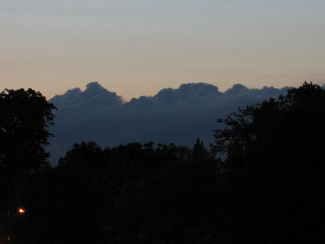
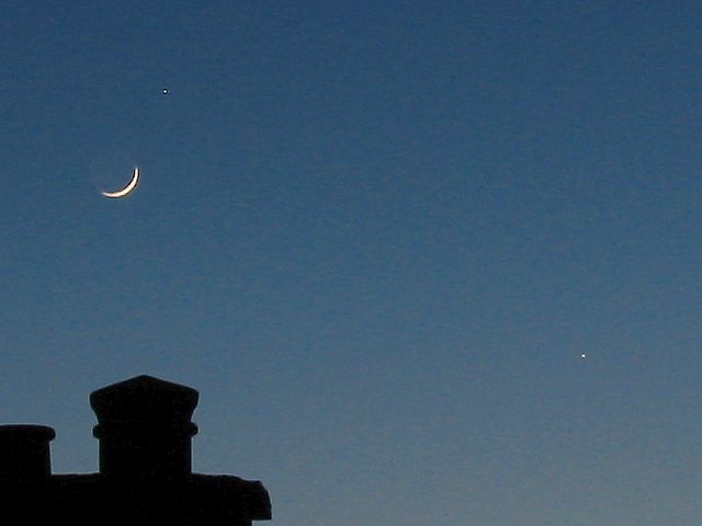
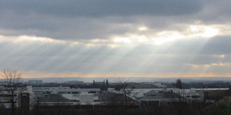
20041114_CloudSilhouette.jpg
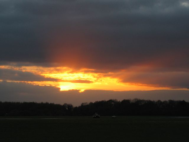
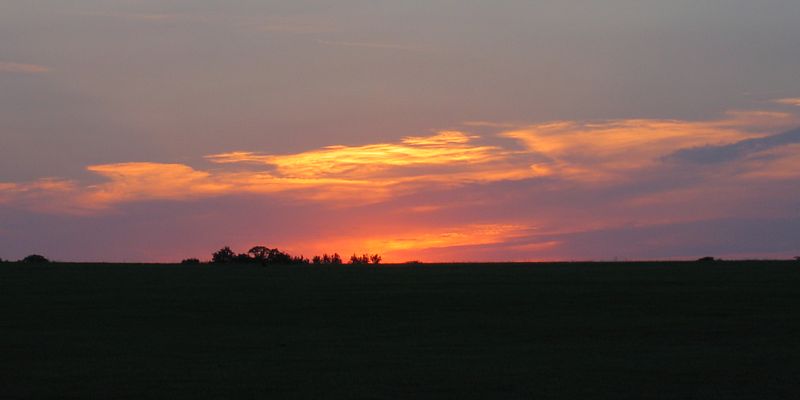
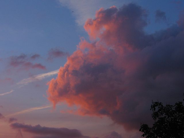
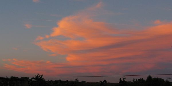
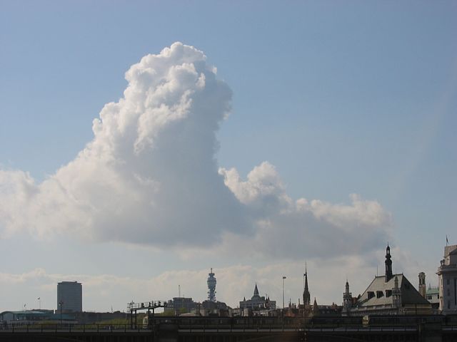
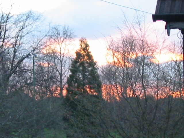
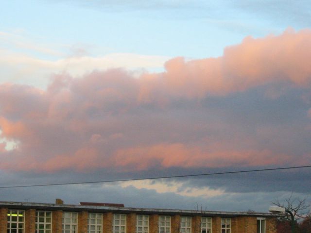
20041114_Sunset.jpg

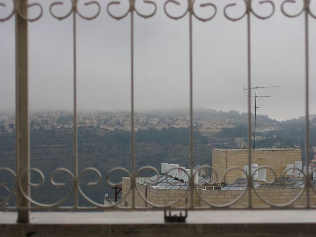
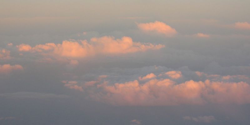
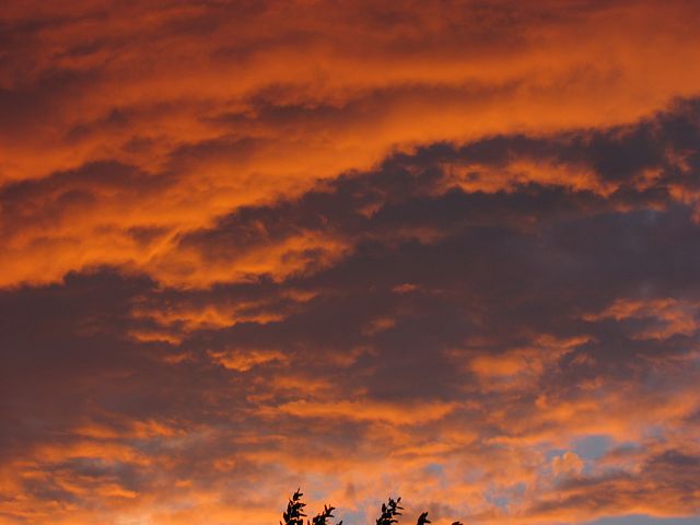
20041206_JerusalemSunset.jpg
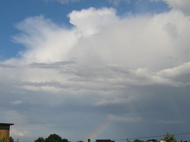
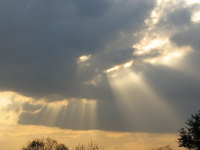
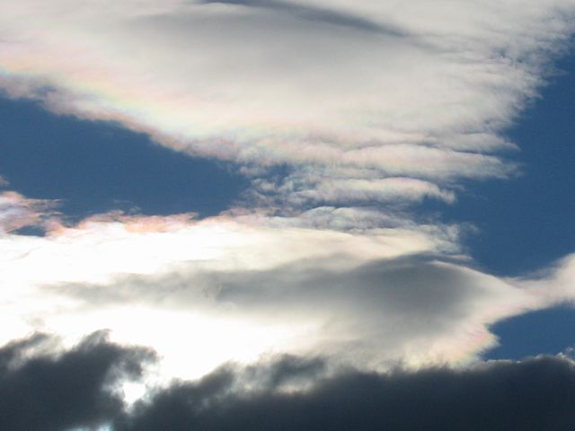
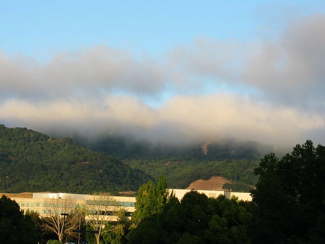
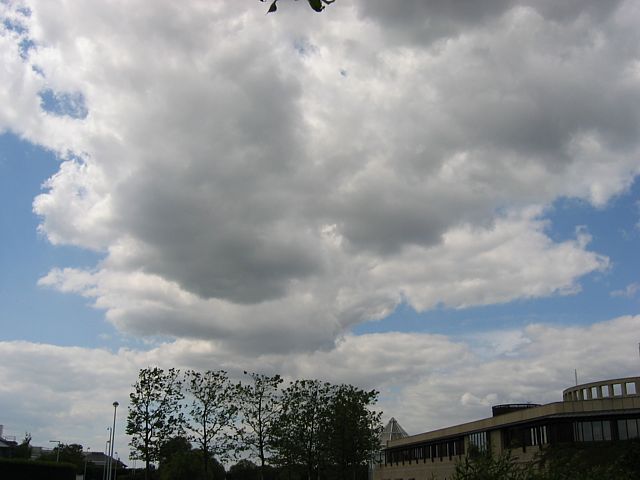
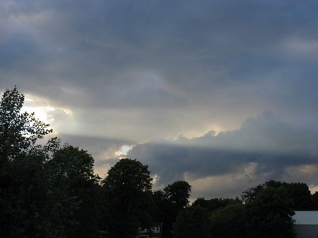
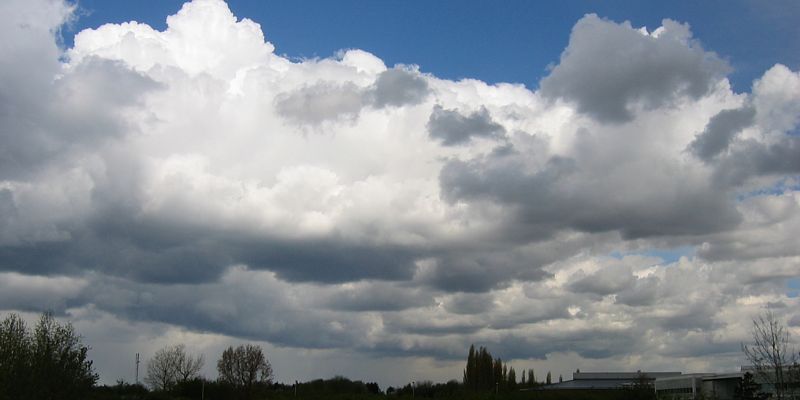
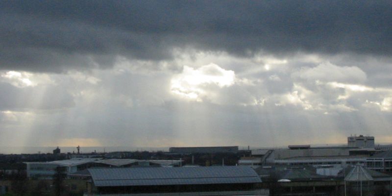
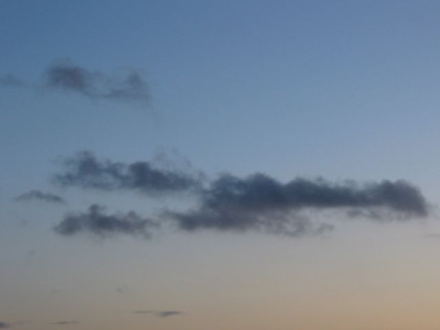
20041208_LowCloud.jpg
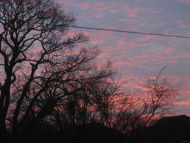
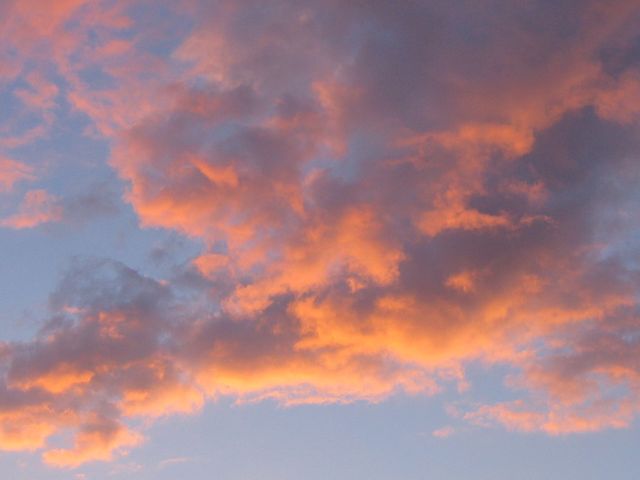
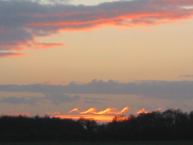
20041215_Sunset.jpg
Click here to return to the main Pictures index.
Click here to go to the 2005 images.
Click here to go to the 2003 images.
More pictures of clouds, mainly taken from at or above cloudbase, can be found in the Gliding 2004 Pictures page.
|
20041114_CloudSilhouette.jpg |
20041114_Sunset.jpg |
20041206_JerusalemSunset.jpg |
20041208_LowCloud.jpg |
20041215_Sunset.jpg |
| Sun dipping behind a cloud. | Sunset. | Sunset from Har Nof, Jerusalem. | Almost inside a shower cloud. Taken while sheltering from heavy rain. | Sunset. |
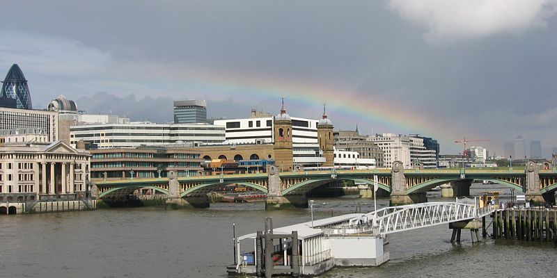
 20040819_CbRainbow.jpg |
 20040825_Sunset.jpg |
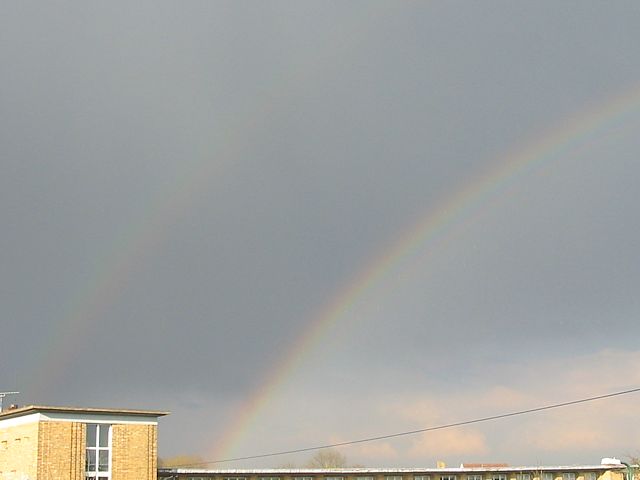
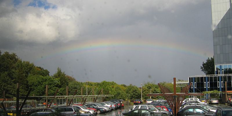 20040913_BrentfordRainbow.jpg |
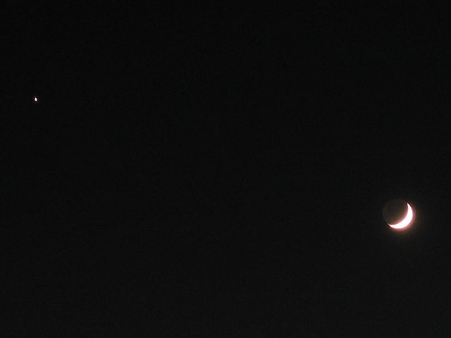
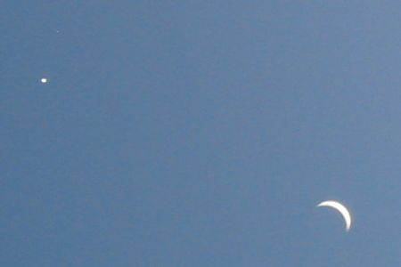
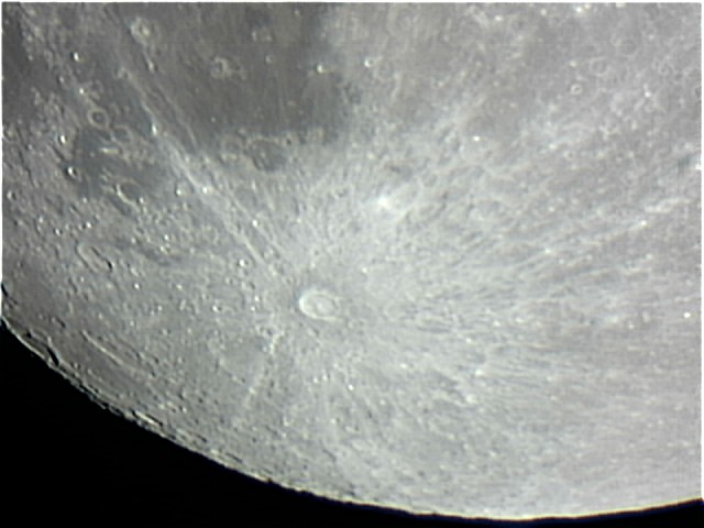 20040927_Moon1.jpg |
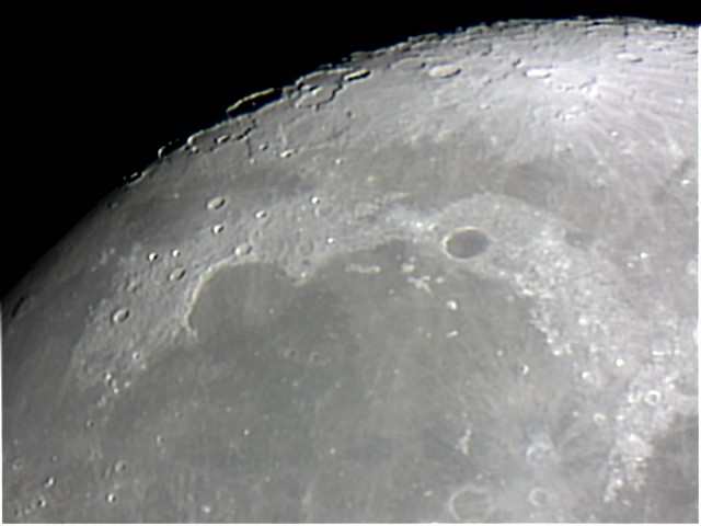 20040927_Moon2.jpg |
| Huge shower with towering Cb cloud and rainbow. | Fading sunset bounded by altostratus overhead and building cumulus on the horizon. | Rainbow over the Brentford office carpark. Off focus blobs are raindrops on the window. | My first attempts at photographing the moon with a Philips ToUcam Pro II webcam attached to a Celestron Nexstar 80GTL 80mm refractor telescope. | |
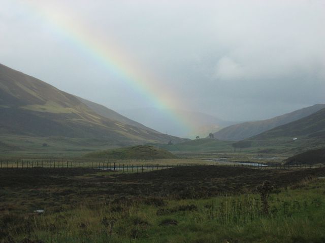 20041002_BraemarRainbow.jpg |
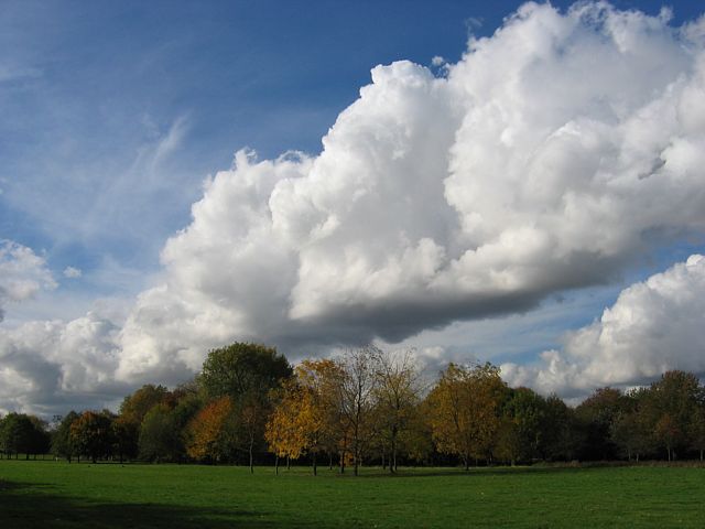 20041026_CloudStreet.jpg |
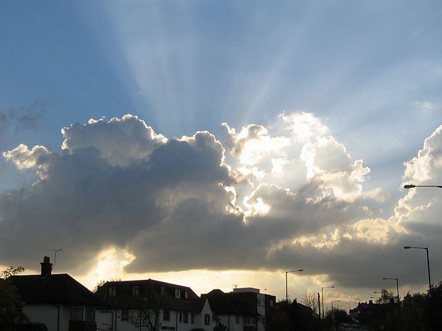 20041030_Crepuscular1.jpg |
 20041030_Crepuscular2.jpg |
| Rainbow touching down near Braemar. Seen from just north of the Glen Shee ski lifts. | A giant cloud street above Gunnersbury Park. | Dazzling crepuscular rays as the sun got low and shone through a fragmenting large cumulus cloud. | |
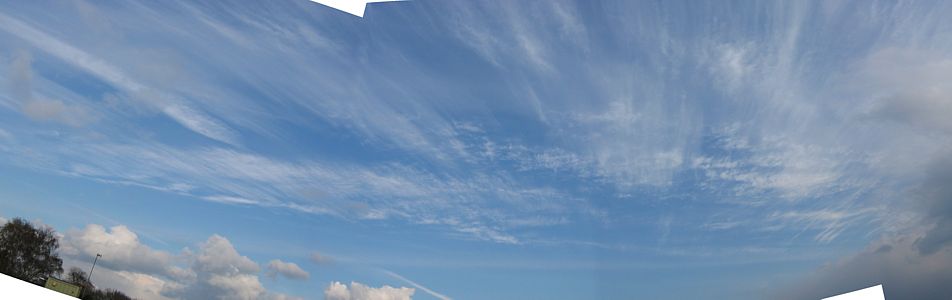
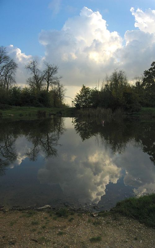 20041030_Panorama.jpg |
 20041030_Crepuscular3.jpg |
 20041030_Crepuscular4.jpg |
 20041030_DecayingCumulus.jpg |
| Large cumulus cloud reflecting in a very still Barnhill pond. | More crepuscular rays. | Decaying cumulus cloud as the day came towards an end. | |
On the 17th I flew from London to San Francisco in a 747. I did not get a window seat, but I was able to get up and take pictures now and then through the windows in the doors at the rear of the plane. For the return flight on the 24th I got a window seat right over the starboard wing. However I was also able to get to the port door at the rear of the plane when an aurora appeared. Here are the top 18 weather pictures from those flights. On both flights I knew where we were thanks to a map screen showing our GPS position and various statistics like ground speed, ETA, tail / head wind speed, height and so on. The time on the filename is in BST (GMT+1), just in case you were wondering how, for example, it could be bright sunshine at 3AM...
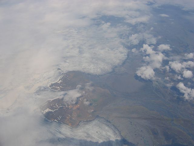 200407171559_IcelandGlacier.jpg |
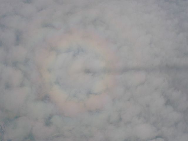 200407171608_BrockenSpectre.jpg |
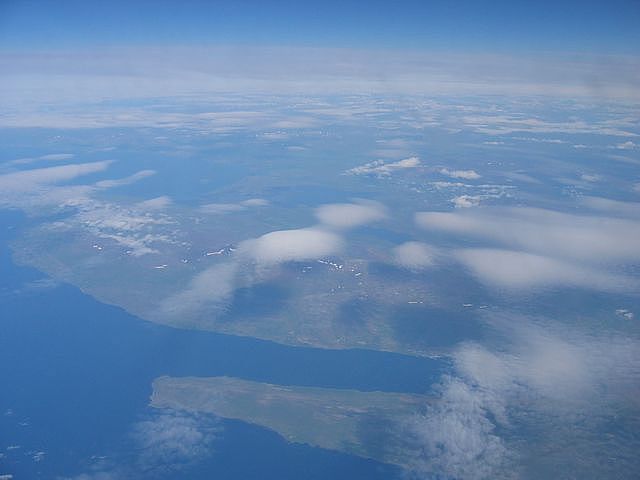 200407171609_WaveOverNWIceland.jpg |
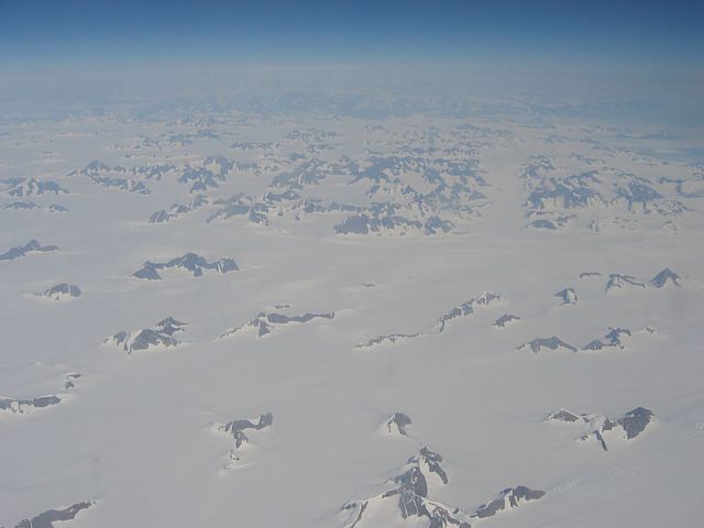 200407171650_EastGreenlandMountains.jpg |
| Glacier in Iceland | Vivid circular Rainbow with a contrail shadow stretching away from it. Barely visible is a second outer rainbow too. | Lenticular clouds over the Northwestern corner of Iceland. | Snow choked mountains near the East coast of Greenland. |
 200407171651_EastGreenlandMountains.jpg |
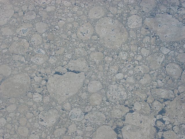 200407171905_IceFloes.jpg |
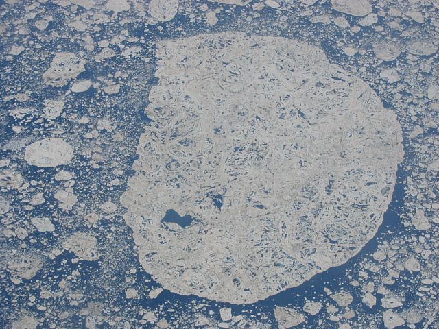 200407171907_IceFloes.jpg |
 200407171909_IceAndCumulus.jpg |
| Closeup of the Greenland mountains. Further inland it was one continuous ice sheet. | Ice floes around the islands in the North Eastern corner of Canada. | As we head South West the ice floes diminish and cumulus starts to appear. | |
 200407171914_IceAndCumulus.jpg |
 200407172203_HighCumulusOverIdaho.jpg |
 200407172233_PeeringOverClouds.jpg |
 200407240321_BrockenSpectre.jpg |
| Cumulus, lines of ice and rough looking terrain. | Over Idaho there were quite a few very high cumulus clouds. We were at 39,000 feet, so these must have been a good 15-20,000 feet! | As we reached unsettled weather between Idaho and California the cloudscapes got ever more dramatic. | A circular rainbow with a plane shadow in the middle as we climbed above low cloud after taking off from San Francisco. |
 200407240321_WingView.jpg |
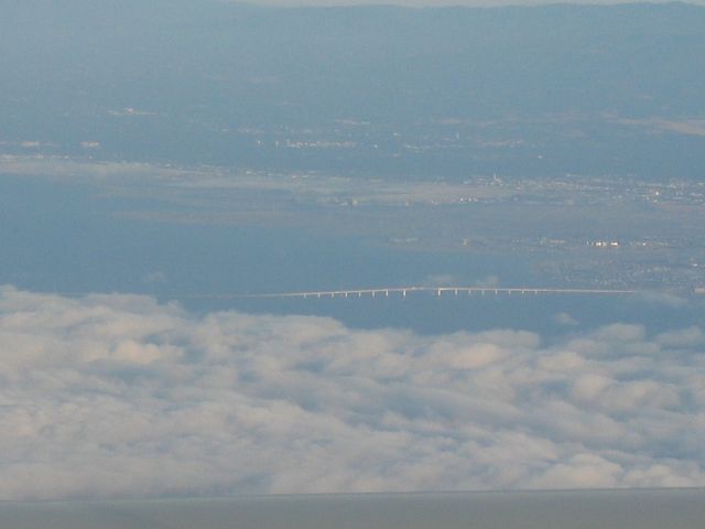 200407240324_SanMateoBridge.jpg |
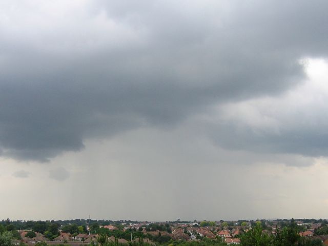
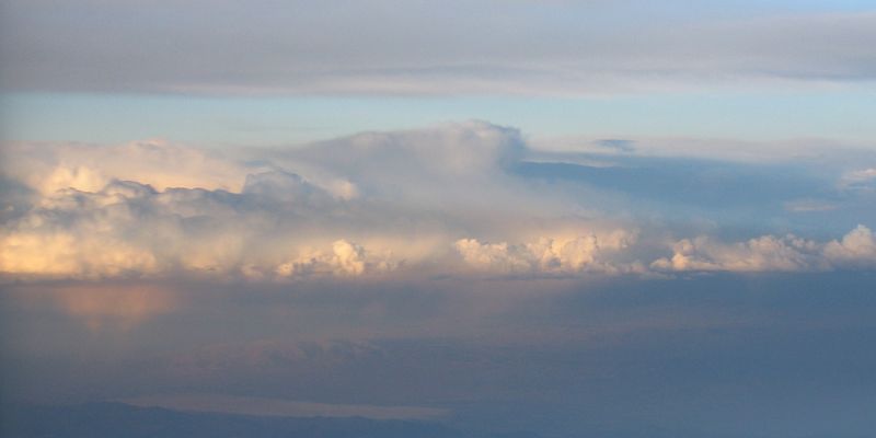 200407240350_Shower.jpg |
 200407240409_Sunset.jpg |
| I couldn't resist taking a picture down the wing as we banked - looks just a little bit different to my glider wing when I'm soaring! | A glimpse of the high part of the San Mateo bridge through the low cloud. | Further inland there was plenty of thunderstorm development. That and the poor vis made for some interesting cloudscapes. Just after dark I also saw a cloud light up with lightning too. | |
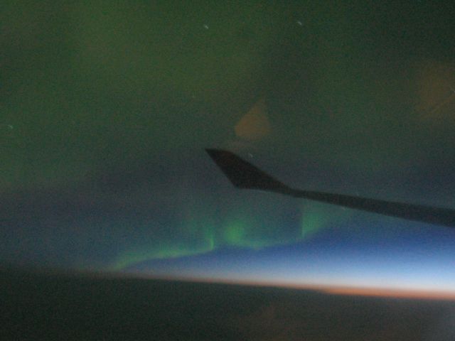 200407240739_AuroraOverCanada.jpg |
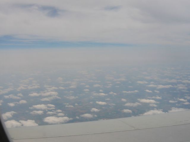 200407241223_Midlands.jpg |
| My first ever aurora sighting! And I managed to get it on camera too. This happened somewhere over Northern Canada. I looked out the port window to see a very faint green glow. After a large number of duds I managed to get this with a 15 second exposure at ISO 200 just as dawn was breaking to the North East. | A slightly murky lunchtime view from about 20,000 feet over the midlands as we approached Heathrow Airport. Those cu's looked fairly low. Far too much top cover. But better than to the North West - a continuous cloud sheet all the way to Greenland and beyond. |
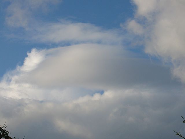 20040702_Lenticular.jpg |
 20040702_SunEffect.jpg |
 20040706_Cumulus.jpg |
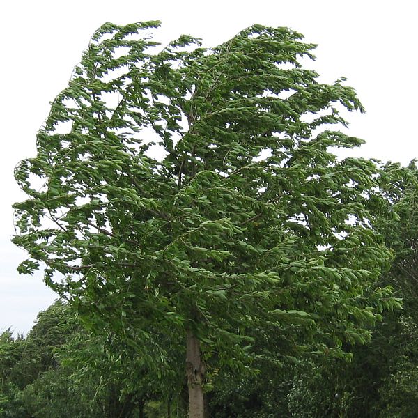 20040707_Windy.jpg |
 20040708_Macroburst.jpg |
| Short lived lenticular cloud. | Look at the rainbow fringes on these clouds. | Gorgeous looking day for gliding. | Unusually windy day for July. Gales punishing this cherry tree. | Heavy looking shower. |
 20040708_Panorama.jpg |
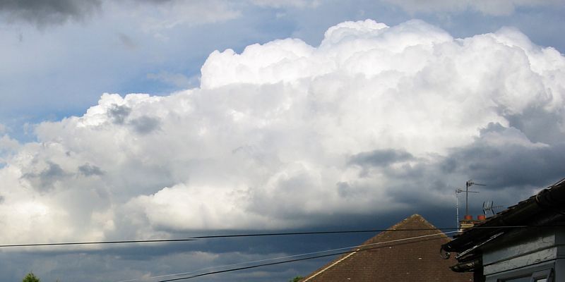 20040715_GiantCu.jpg |
| 360 degree panorama clockwise from the South taken while surrounded by showers. A while later the place got drenched. | A huge towering cumulus that popped up out of nowhere. |
 20040719_LowCloud.jpg |
 20040720_JupiterAndMoon.jpg |
 20040731_ParhamSunset.jpg |
| Early low cloud on the hills East of San Francisco. | Jupiter and the Moon close together just after dusk. You can just see Earthshine on the dark side of the moon. | Sunset at Parham airfield in West Sussex. |
 20040605_Sunbeam.jpg |
 20040606_FallStreaks.jpg |
20040608_VenusTransit.jpg |
 20040610_Sunset.jpg |
 20040611_Spreadout.jpg |
 20040613_StreetOverWembley.jpg |
| Sunbeam through single hole in overcast sky. | They look like jellyfish high in the sky! | My fuzzy attempt to photograph the Venus transit. Tiny sunspot also visible in the centre of the sun. | Edge of a large cumulus cloud lit up by the setting sun. | Cumulus clouds spreading out. Good looking thermal cells to the left hand side. | A thermal street (line of cumulus) over Wembley Stadium at 10:30AM. |
 20040616_Sunset.jpg |
 20040617_Mammatus.jpg |
 20040618_LightBeam.jpg |
 20040621_Sunset.jpg |
 20040627_Cirrus.jpg |
| Looking East at some cirrus as the sun sets to the West. | It looked like cumulus clouds hanging upside down from the altostratus layer. They were briefly forming all over the sky - not like normal mammatus. | A bright beam of light shining past a very dark cloud late in the day. | Fiery sunset heralding the end of the longest day of the year. | Intricately patterned cirrus clouds passing high above the lower cumulus clouds. |
 20040503_GurkinRainbow_CanaryWharf.jpg |
 20040503_LateToweringCumulus.jpg |
 20040505_ToweringCumulus.jpg |
 20040519_DarkCumulus.jpg |
 20040530_Sunset.jpg |
| The Gurkin and Canary Wharf linked by a low rainbow. | Late towering cumulus forming after a mid afternoon cold front clearance. | This towering cu looks like a fist with the middle fingers sticking up. | A 1.6 second exposure of cumulus clouds at dusk. Eerie. | Altocumulus lit up at sunset. |
 20040408_CirrusPanorama.jpg |
 20040416_GoldenSunset.jpg |
 20040419_ToweringCumulus.jpg |
 20040419_MegaCumulus.jpg |
| A panoramic shot of some pretty lines of cirrus that moved in late in the day. | Incoming cold front making for a golden sunset. | 2 pics of lively cumulus development just before heavy showers and thunderstorms started to develop. | |
 20040322_RosyCunim.jpg |
 20040322_VenusByDay.jpg |
 20040322_Sunset.jpg |
 20040322_MoonMercury.jpg |
 20040325_DoubleRainbow.jpg |
| A Cumulonimbus cloud given a rosy tint by the setting sun. | Venus is so bright that it is visible more than an hour before sunset. | Sunset. | After sunset the moon (left) and Mercury (right) became visible for a short while. | A spectacular double rainbow that appeared as a shower approached from the northeast. |
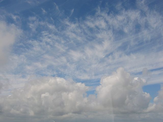
 20040219_Panorama.jpg |
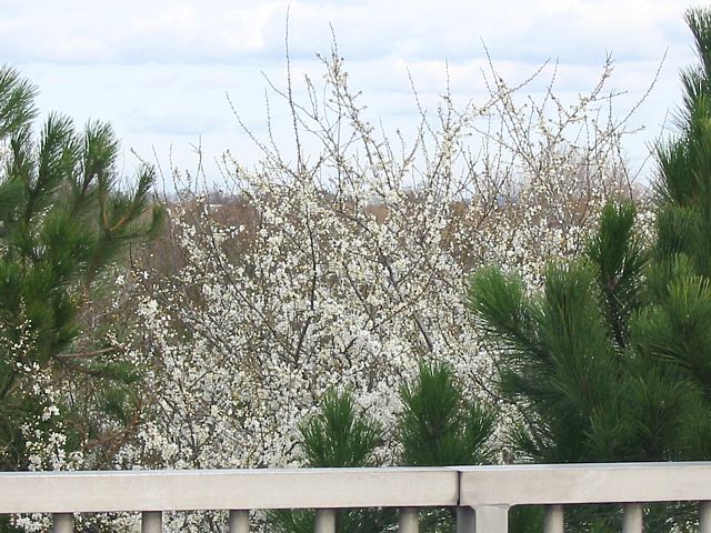 20040225_Blossom.jpg |
 20040225_BlossomCloseup.jpg |
| One of the first good soarable looking days of the year. Shame I was stuck on the ground. | Last year's picture of spring was daffodils. This year first daffodils were on 10th February. However, to be different this year's picture of spring is this blossoming plant. But would you believe a week or so later it snowed! | |
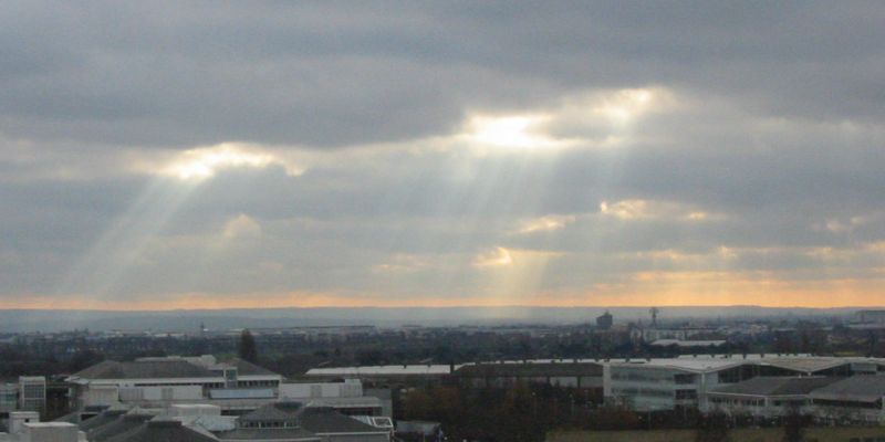 20040107_SunRays1.jpg |
 20040107_SunRays2.jpg |
 20040114_SunRays3.jpg |
 20040116_SunsetCumulus.jpg |
| Rays of sun breaking through a broken layer of cloud over Heathrow Airport. | Small cumulus cloud lit up under hole in cloud layer above. | Sunset highlights the 3D structure of this cumulus. | |
 20040124_SunsetWaveyCumulus.jpg |
 20040124_CumulusSilhouette.jpg |
 20040124_MoonVenus1.jpg |
 20040124_MoonVenus2.jpg |
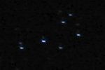 20040124_Pleiades.jpg |
|
| Cumulus lining up in a wavey pattern at sunset. | Cumulus silhouetted in the evening twilight. | The new moon and venus flirting with each other in the twilight and later after dark too. | My attempt to photograph the Pleiades cluster in the clear still night that followed. | ||
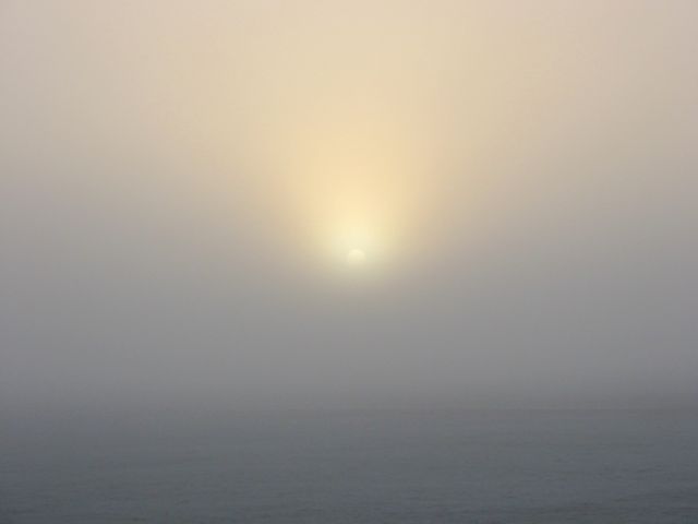 20040125_FoggyStart.jpg |
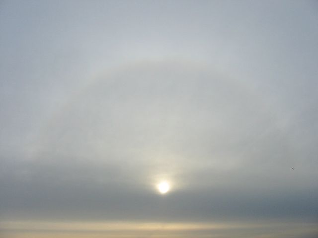 20040125_SunHalo.jpg |
 20040129_MeltingIce.jpg |
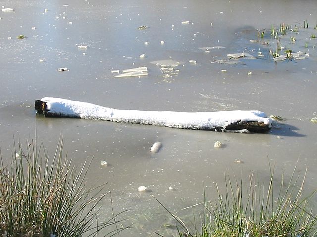 20040129_IceLog.jpg |
| Sun trying to break through a layer of fog early in the morning. | Halo around sun caused by thick layer of cirrus. | Melting ice | Fallen log trapped in pond ice. |
 20040129_SnowPanorama1.jpg |
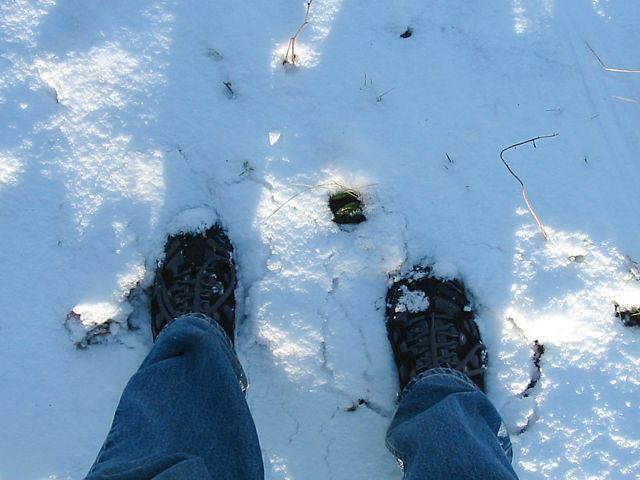 20040129_ColdFeet.jpg |
| 360 degree panorama of the pond at the top of barn hill - clockwise from the East. | Deep (for London) snow. |
 20040129_SnowPanorama2.jpg |
 20040129_SnowGlitter1.jpg |
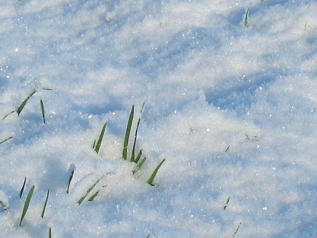
 20040129_SnowGlitter2.jpg |
| 360 degree panorama near another pond lower down the hill - clockwise from the West. | Frost covered snow glittering and casting shadows in bright sunshine. | |