IMG_3848.jpg
IMG_3851.jpg
IMG_3853.jpg
IMG_3854.jpg
IMG_3857.jpg
Click here to return to the main Piccies index.
Click here to return to the main 2011 General Piccies Page.
Click here to return to the Scotland 2011 Index Page.
Click here to go back to Scotland 2011 Day 6.
Click here to go forward to Scotland 2011 Day 8.
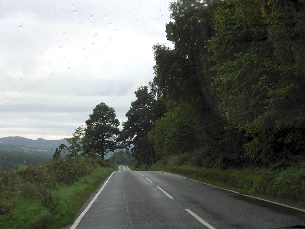
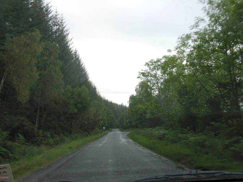
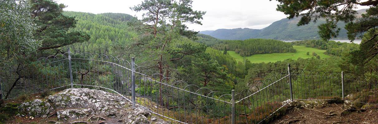
By 9AM we were checking out of Roseneath BnB. As planned, we drove South along the B862/B852 which took us along the quieter East side of Loch Ness on a single track road to Foyers. En route we could see the Clansman Hotel and Urqhart Castle from the other side.
Click here for more information about the military roads of Scotland, including the General Wade's military road that we followed along the Southeastern side of Loch Ness to Foyers.
|
IMG_3848.jpg |
IMG_3851.jpg |
IMG_3853.jpg |
IMG_3854.jpg |
IMG_3857.jpg |
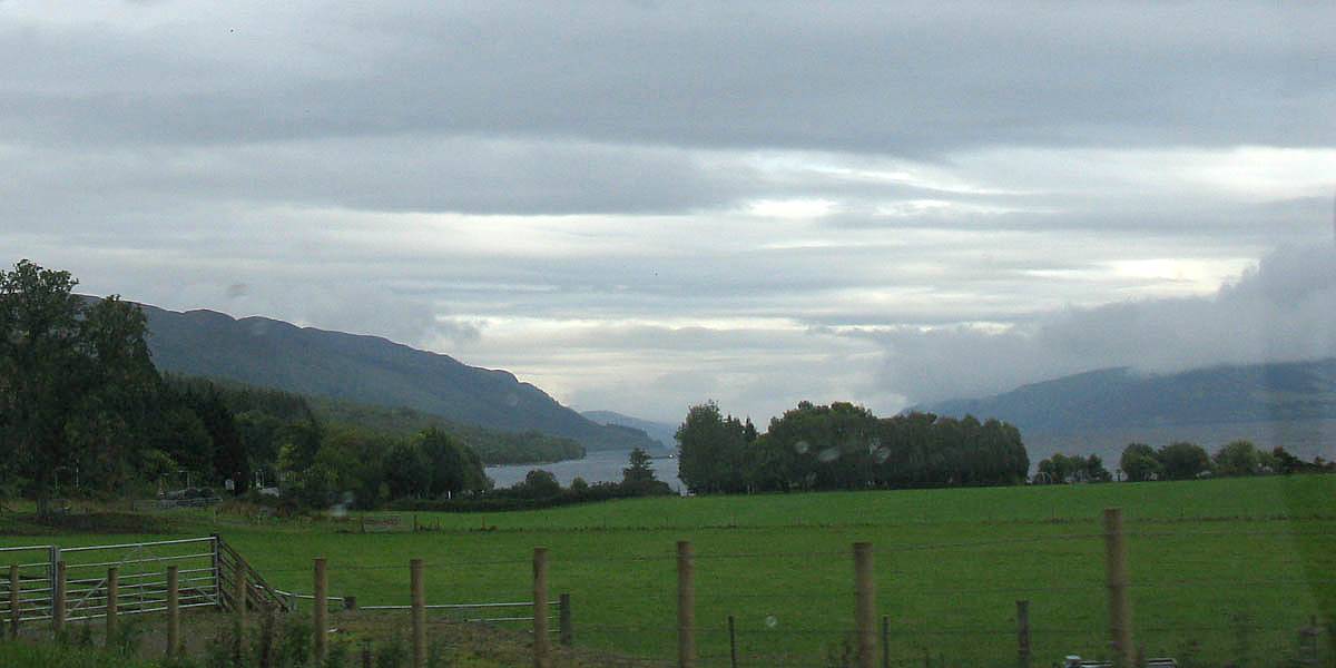
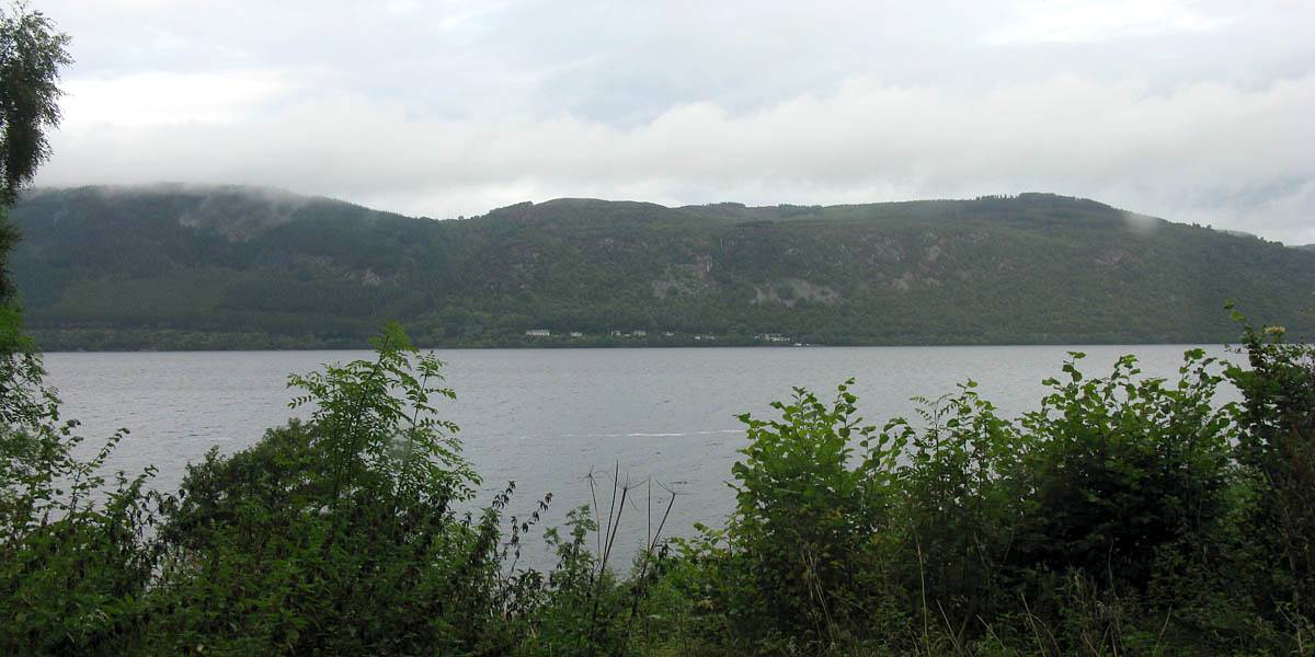
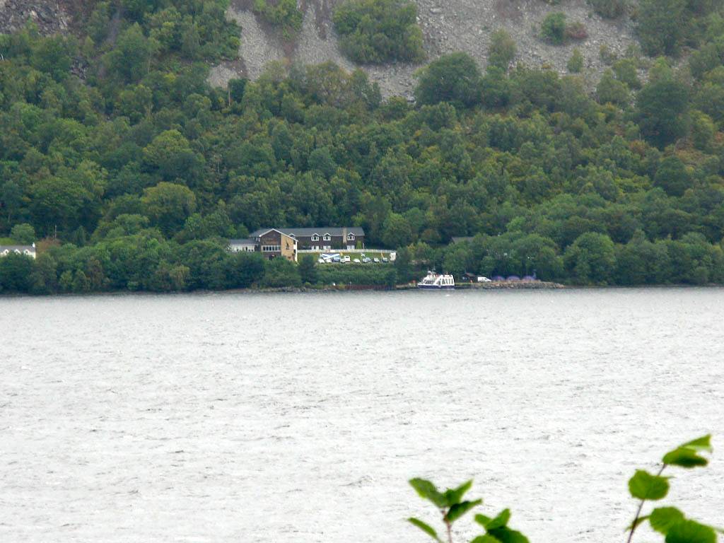
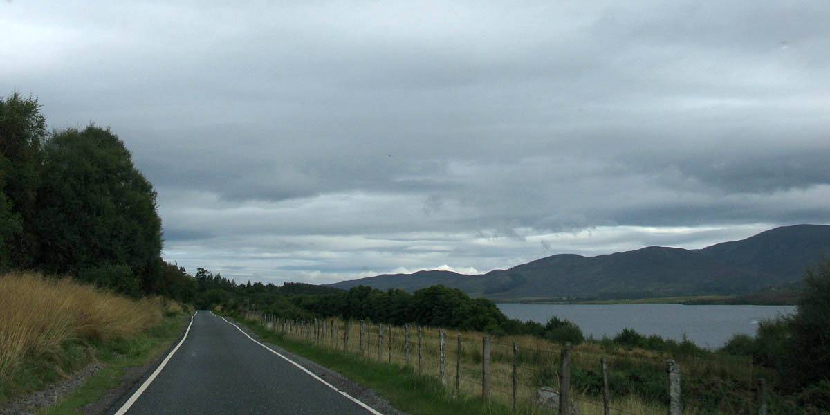
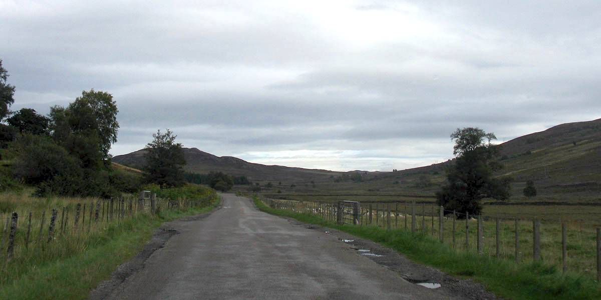
| Heading Southwards on the B682 'General Wade's Military Road'. | At Dores we see our first view of Loch Ness from the Eastern side. | Before long we can see the Clansman Hotel on the opposite bank, where we were yesterday. | Carrying on towards Foyers on a pleasant single track B582. | |
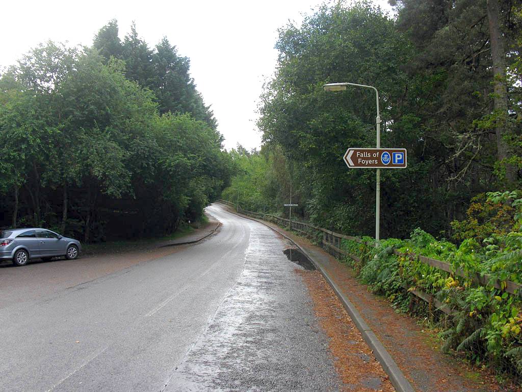
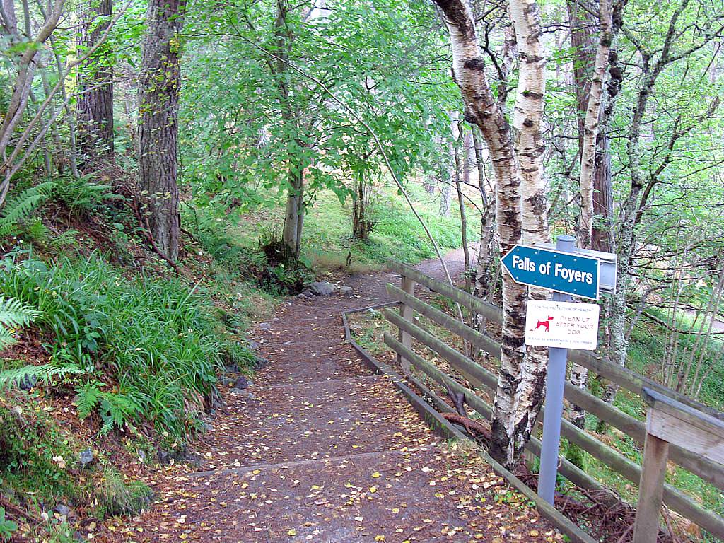
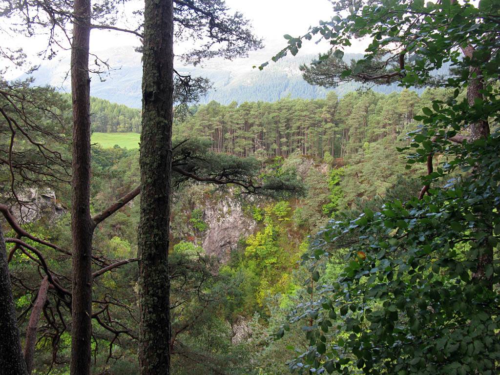
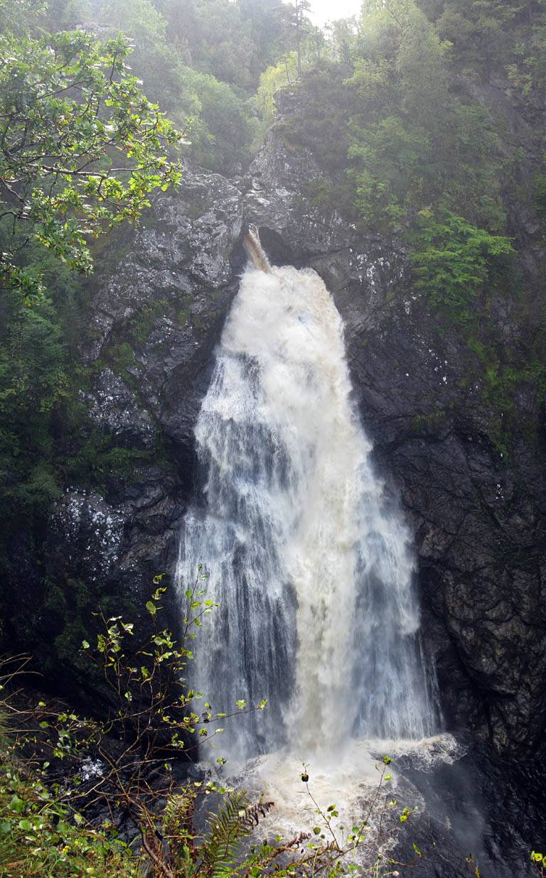
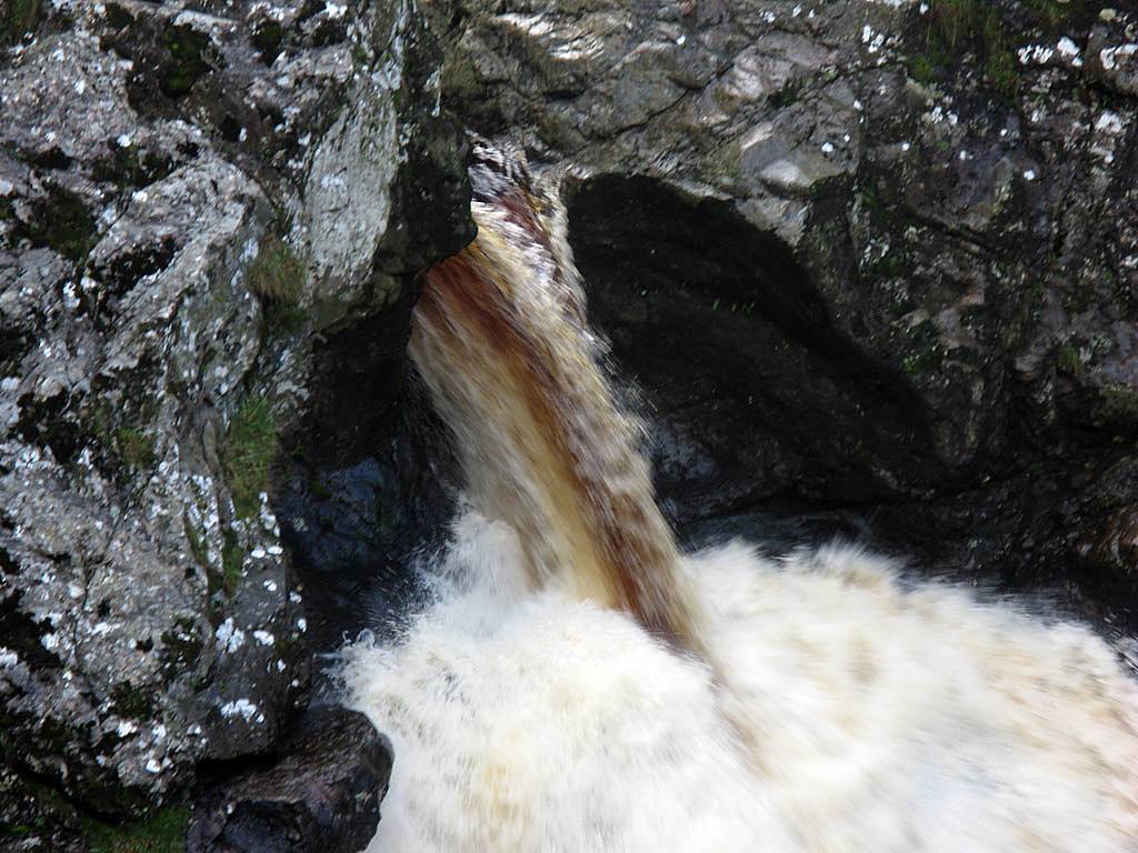
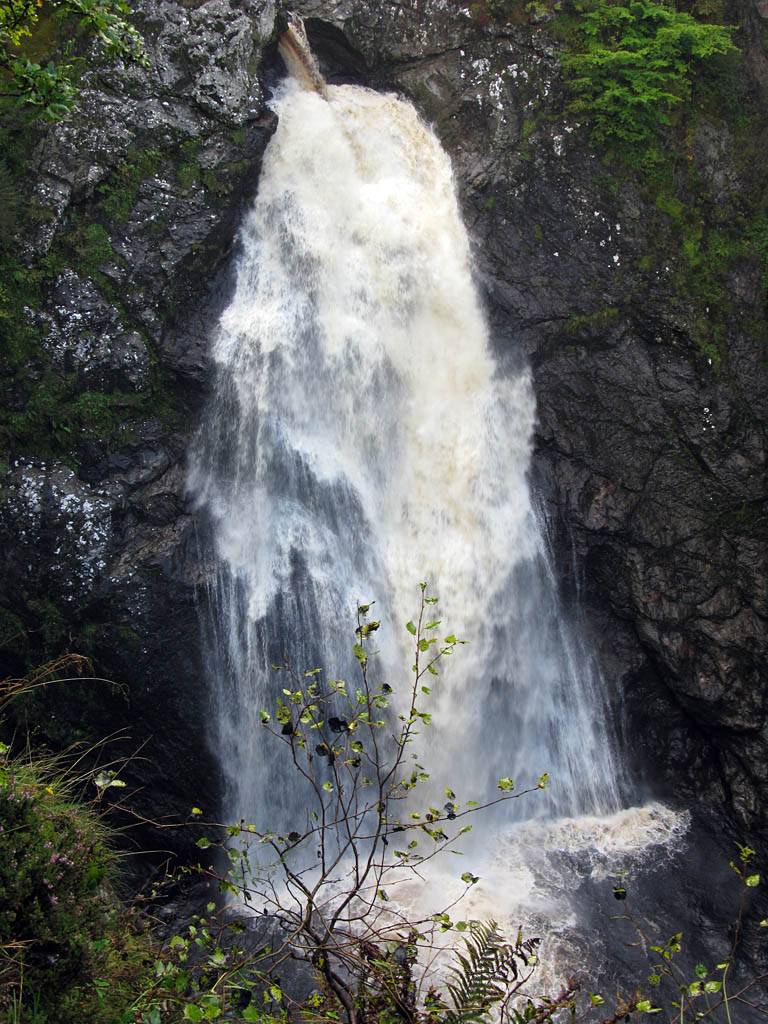
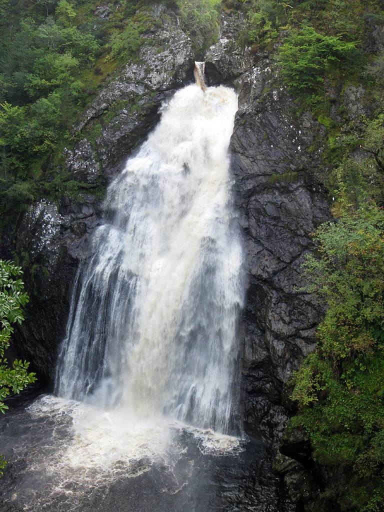
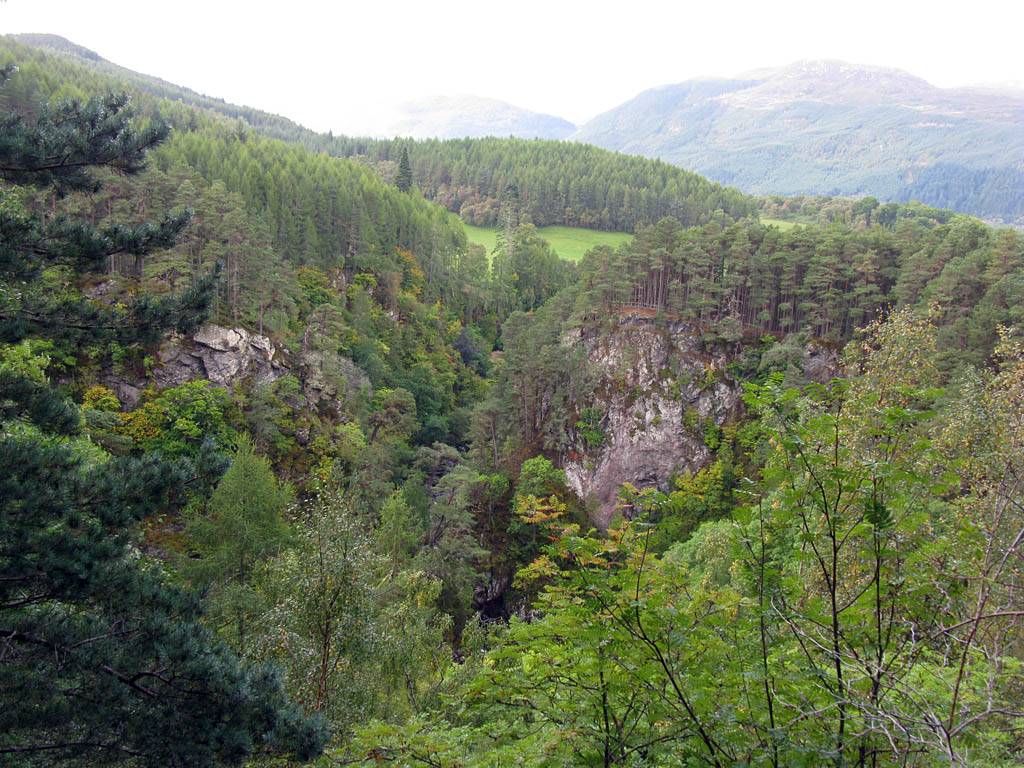
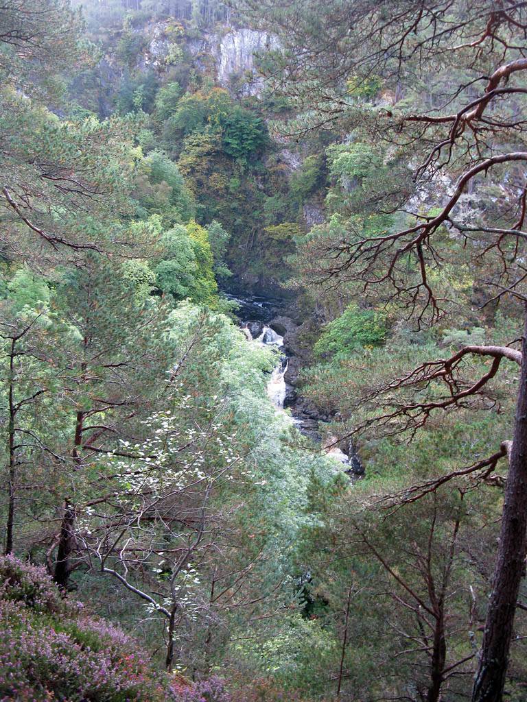
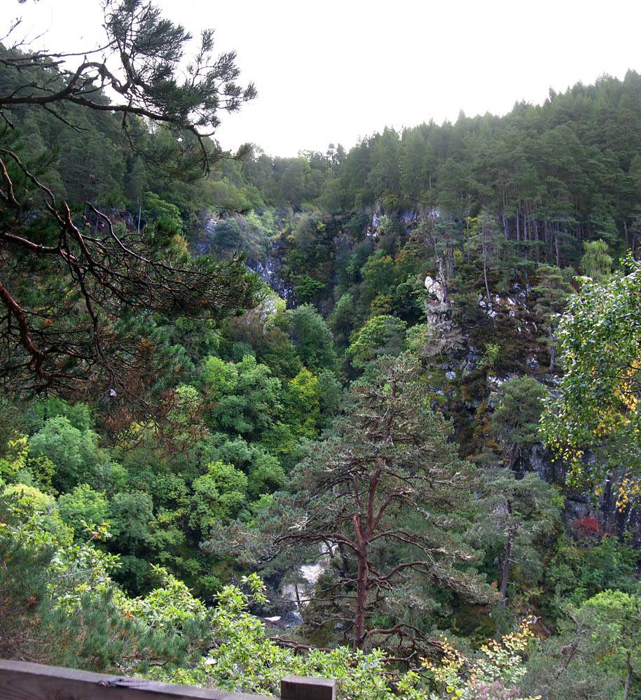
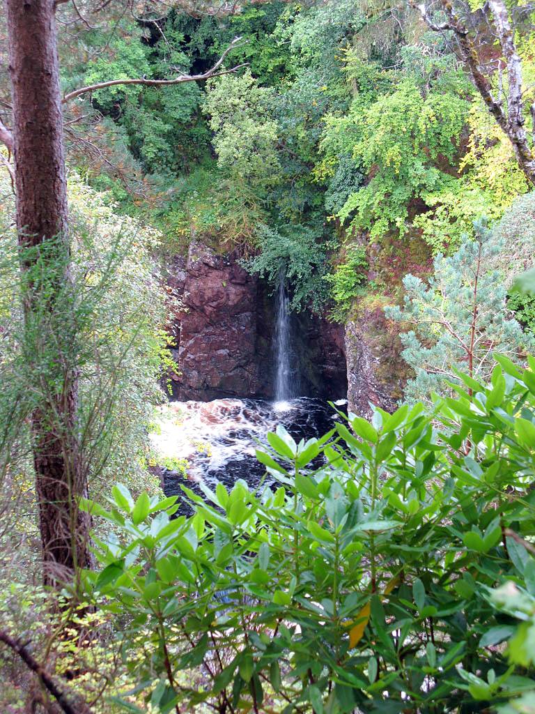
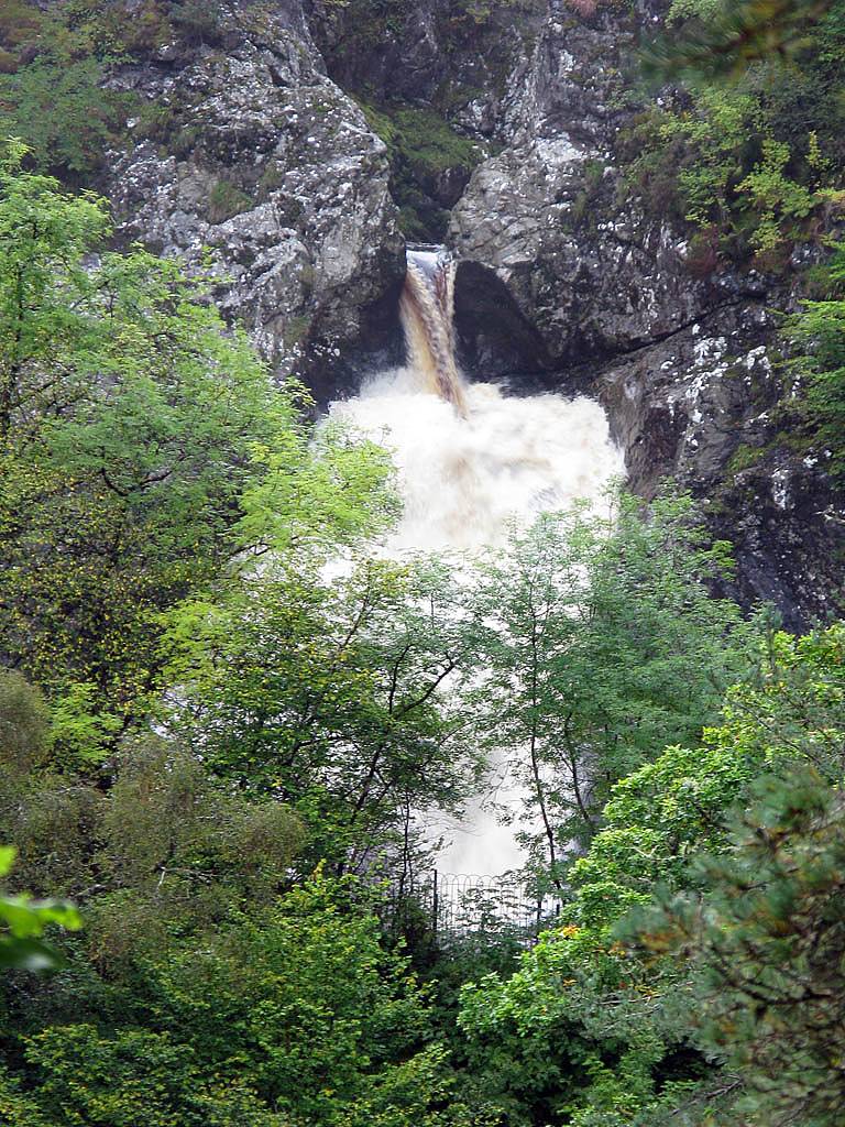
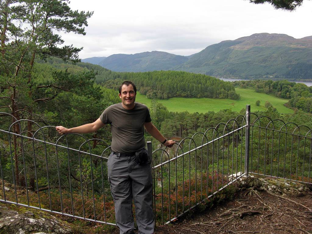
At Foyers we stopped and took a look at the large and spectacular Falls of Foyers waterfall. I also explored further down the slope while Renée waited up top. I got almost as far as Lower Foyers before returning back up to the top where I met Renée at a view point close to the car.
Clips of the Falls of Foyers are compiled into a You Tube video. Click here to view the video.
 IMG_3863.jpg |
 IMG_3874.jpg |
 IMG_3876.jpg |
 IMG_3877.jpg |
 IMG_3882.jpg |
 IMG_3883.jpg |
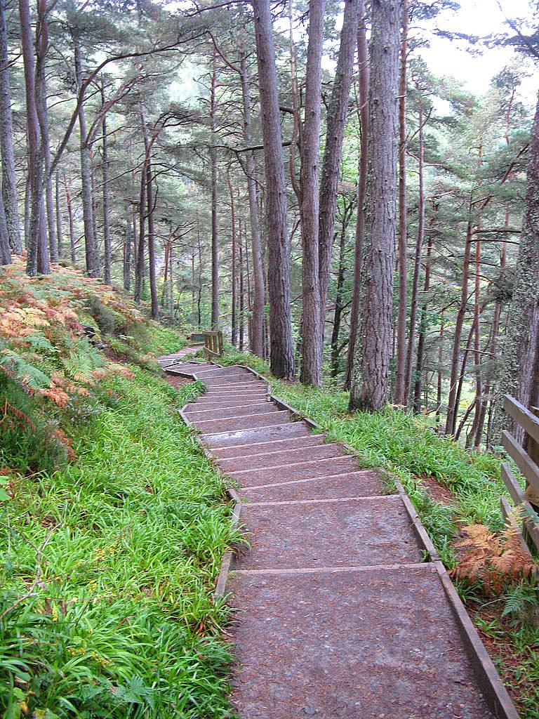
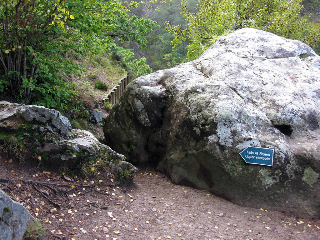
| Arriving at Foyers. | Setting off down a stepped path through pleasant woodland with nice views across towards Loch Ness. | Arriving at the upper view point. | |||
 IMG_3885_3887_Panorama.jpg |
 IMG_3889.jpg |
 IMG_3891.jpg |
 IMG_3895_3897_Panorama.jpg |
 IMG_3903.jpg |
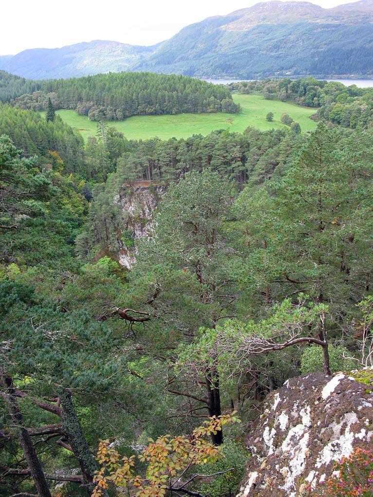
| The Falls of Foyers from the upper view point. Note how the water is coffee coloured from the peat content of the hillside. | The Falls of Foyers from the lower view point. | Looking out across the wide gorge that the River Foyers has cut into the hillside. | ||
 IMG_3907.jpg |
 IMG_3911_3912_Panorama.jpg |
 IMG_3916.jpg |
 IMG_3918.jpg |
 IMG_3920.jpg |
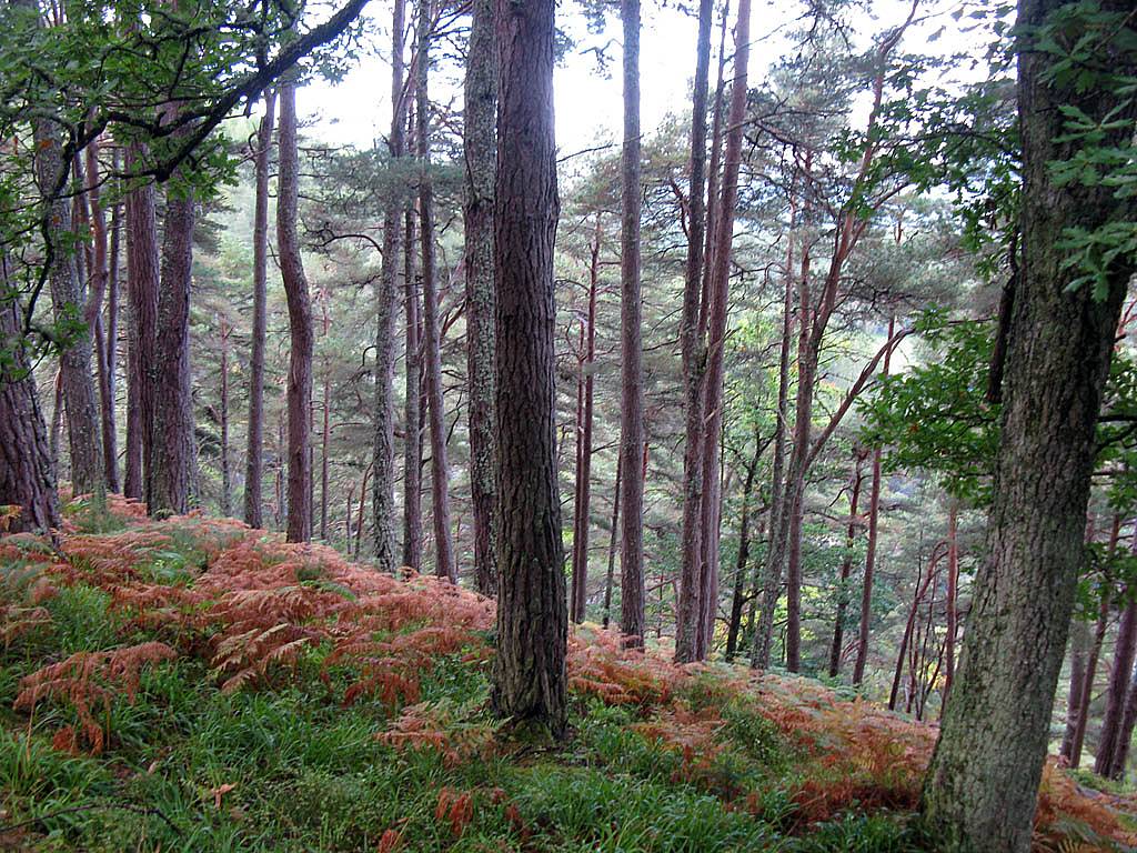
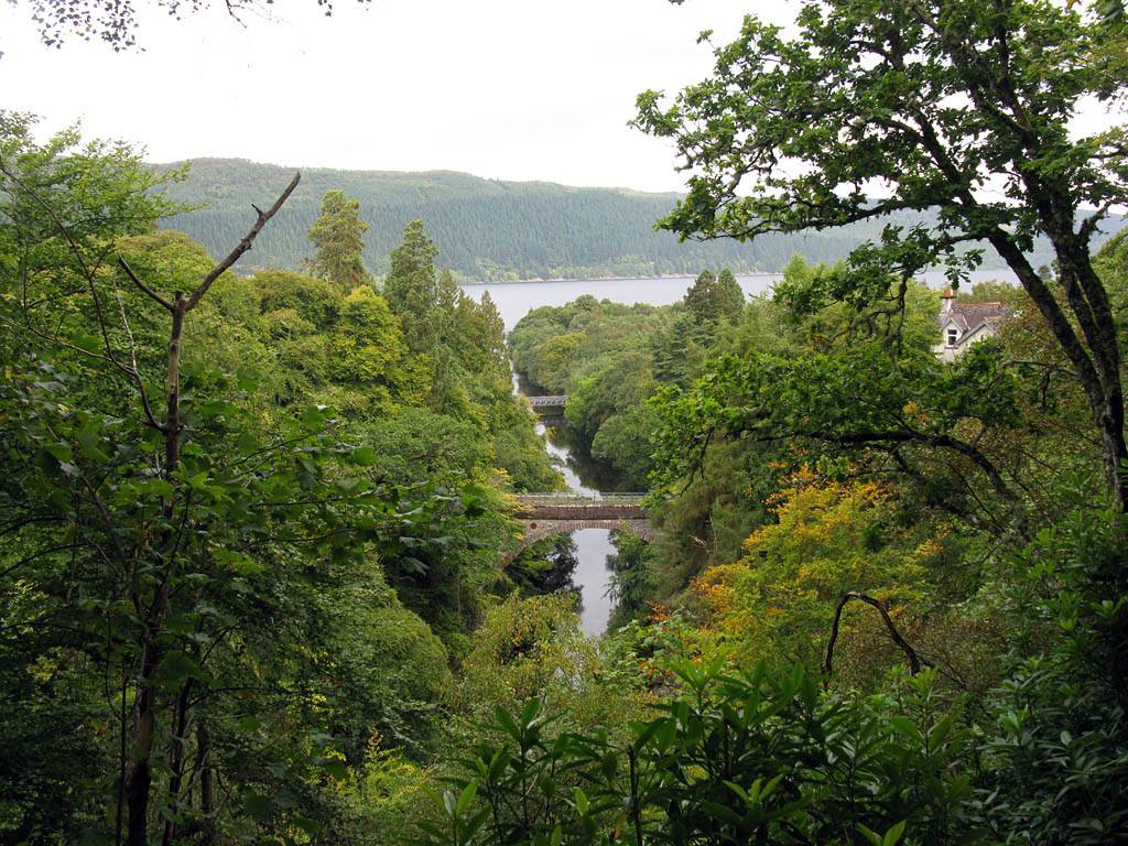
| Looking around the gorge as I descend along the Red Sqirrel Trail. Smaller waterfalls can be seen lower down. (I failed to find a way to reach them.) | A small but pretty waterfall near Lower Foyers. | The River Foyers where it empties into Loch Ness. | Long range shot of the main falls and the lower view point from the Squirrel Trail. | |
 IMG_3928.jpg |
 IMG_3929_3931_Panorama.jpg |
 IMG_3933.jpg |
 IMG_3936_3938_Panorama.jpg |
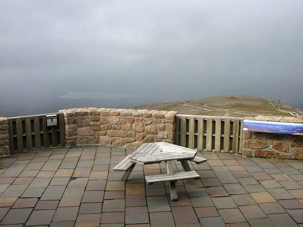
| Back up top and enjoying the view point across the road from the café. | Mike above the Falls of Foyers. | One more panorama of the view before we move on. | |
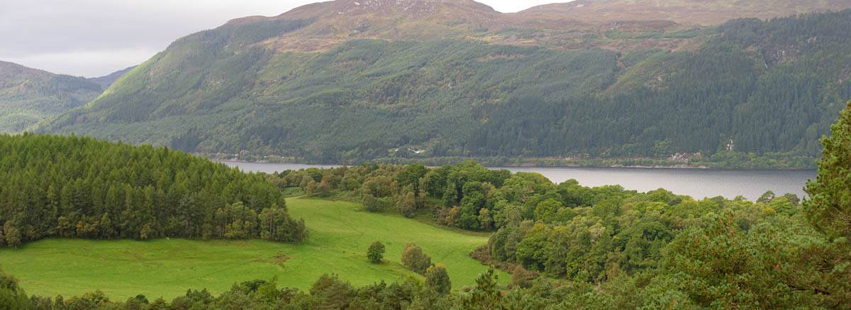
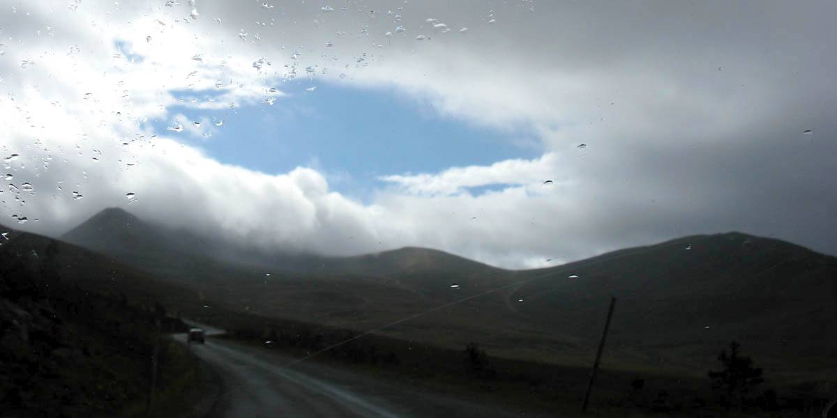
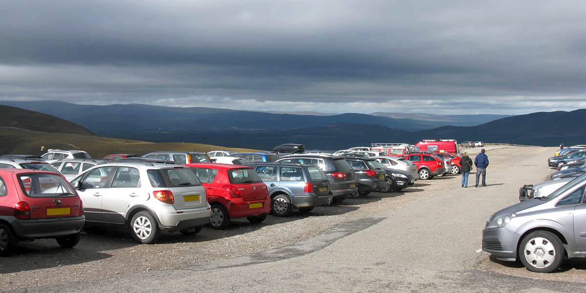
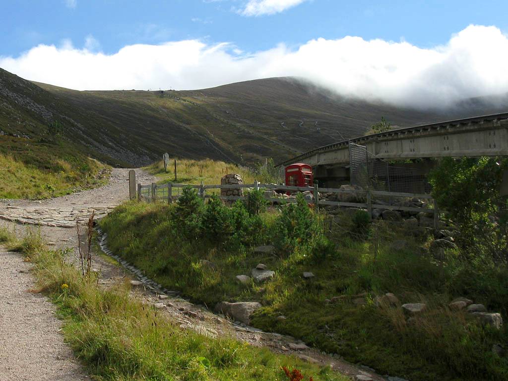
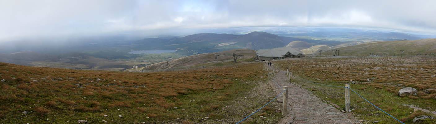
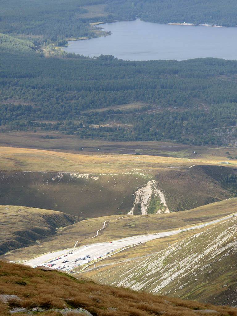
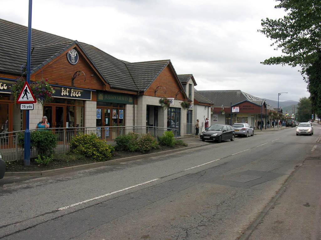
Back in the car, we carried on Southwards before turning left onto the B862 northbound. A highlight here was a good view of a Red Squirrel running across the road in front of us. We carried on past Loch Mhor, before turning right onto the B851 which took us to the A9 near Daviot. Then during a short blast Southeastwards into the Cairngorms National Park Renée had a micronap until I woke her as we came off at Carrbridge. At this point the weather was much better than expected so we decided to head for Cairn Gorm. A short drive down the side roads took us into Aviemore. I pointed out Ravenscraig BnB as we passed it, as well as the restaurants and other features. Then we turned left and straight past Loch Morlich and parked up in the Cairn Gorm Funicular Railway carpark at 635m (2083ft).
 IMG_3942.jpg |
 IMG_3946.jpg |
 IMG_3955.jpg |
| Passing Loch Mhor on the B862 and continuing over the hills towards Daviot where we picked up the A9 to Aviemore. | ||
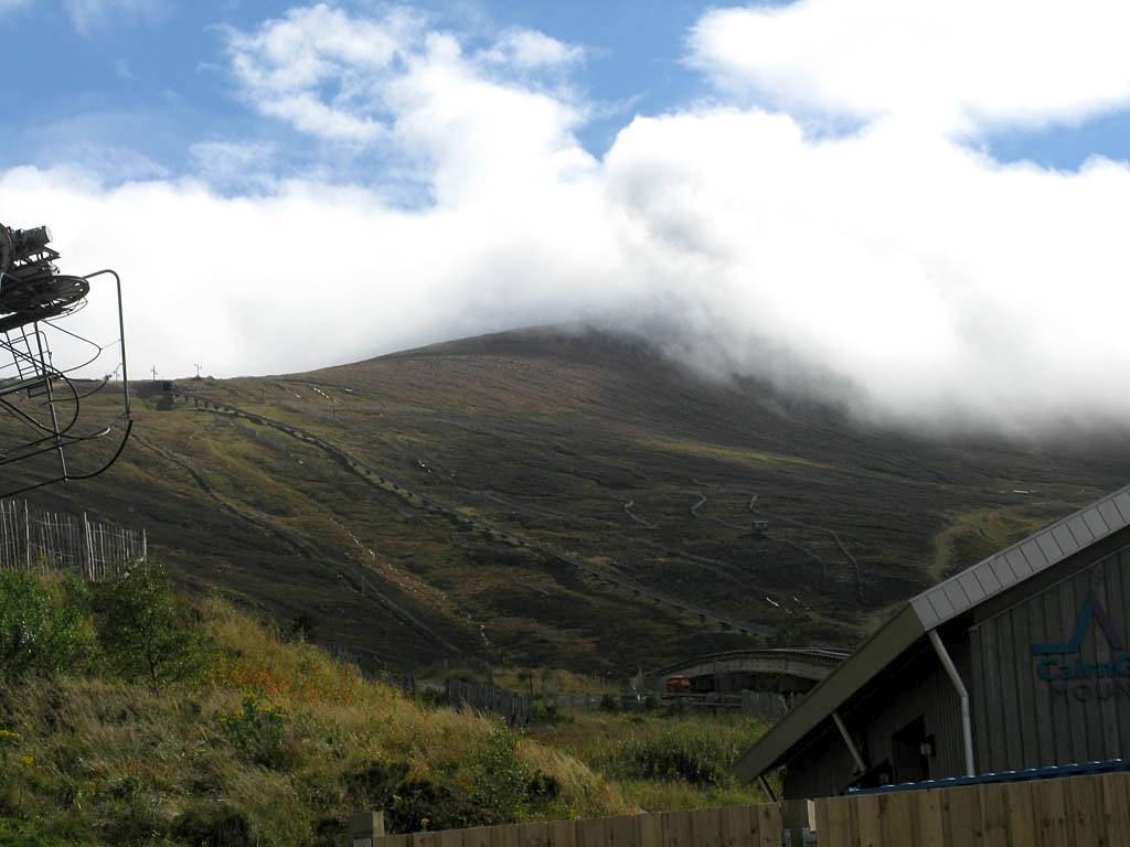
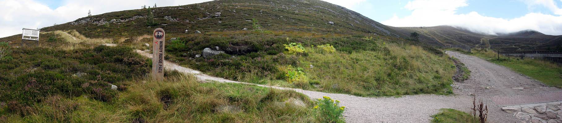
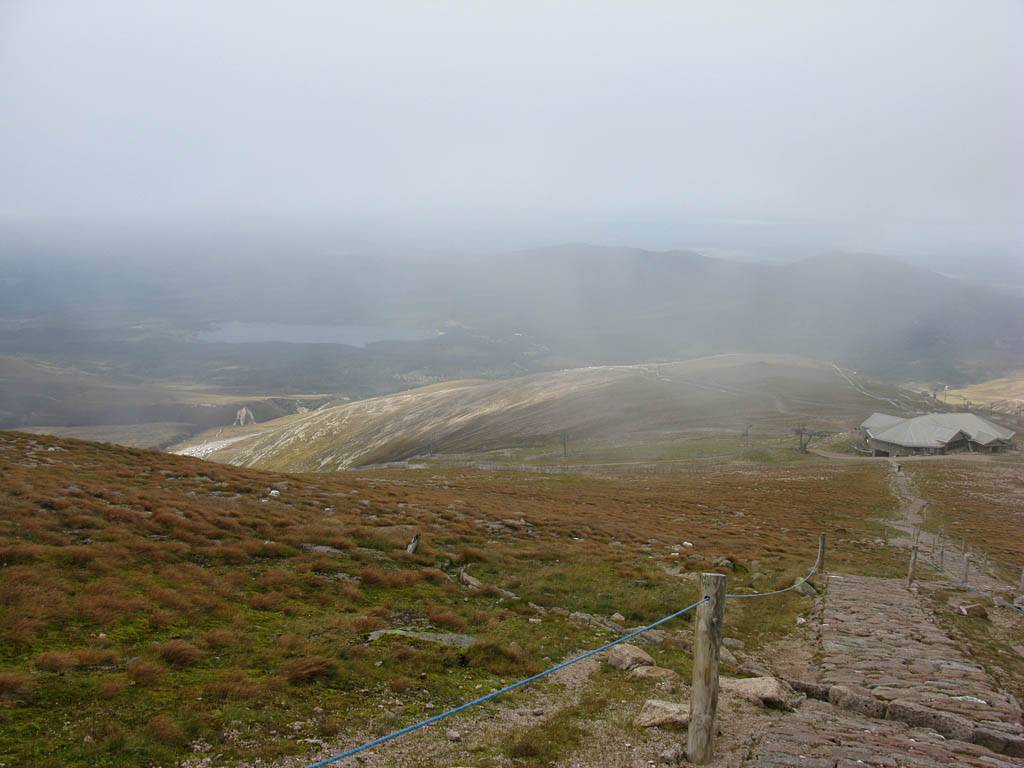
On the way I had tried and failed to get some weather data. After a bit of dithering the summit cloud cleared a bit (after seeming thick above the ptarmigan building for a while). So I decided, given the deteriorating wind forecast, we were on. We decided Renée would get the train up and I would walk up. I changed to hiking boots and grabbed my hiking sticks, then left her at the bottom station. Last time in 2009 I took the easy track up. So this time I made a beeline for the harder windy ridge path. The start was right by where I parked my car. Soon enough I was climbing away on a steep stepped path. The path lived up to its name with a fierce wind blowing from my right. Higher up the gradient lessened. Meanwhile it looked as if a shower was incoming so I stopped and put my waterproofs on to be safe. However only light drizzle reached me. It was a straightforward walk from there to the Ptarmigan station at 1097m (3599ft). I took photos every time I paused for breath of course as the view was awesome. It was also a nice respite from the wind higher up above the exposed ridge. I called Renée out onto the viewing platform to say hello before carrying on up towards a cloud shrouded summit.
 IMG_3961.jpg |
 IMG_3964.jpg |
 IMG_3965.jpg |
 IMG_3966.jpg |
 IMG_3967.jpg |
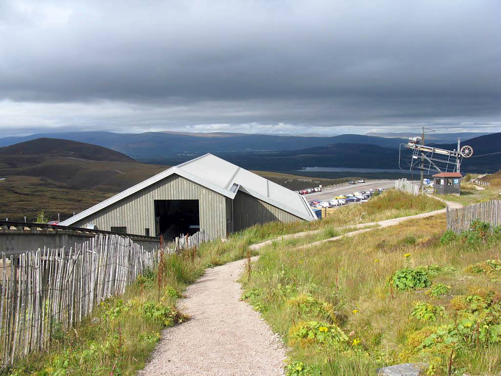
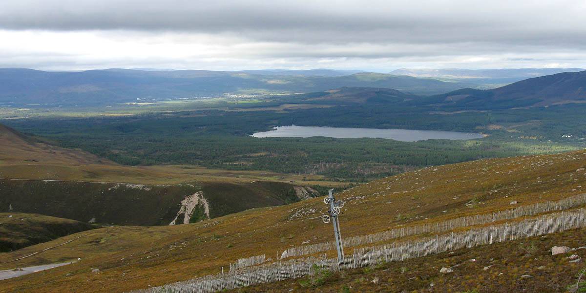
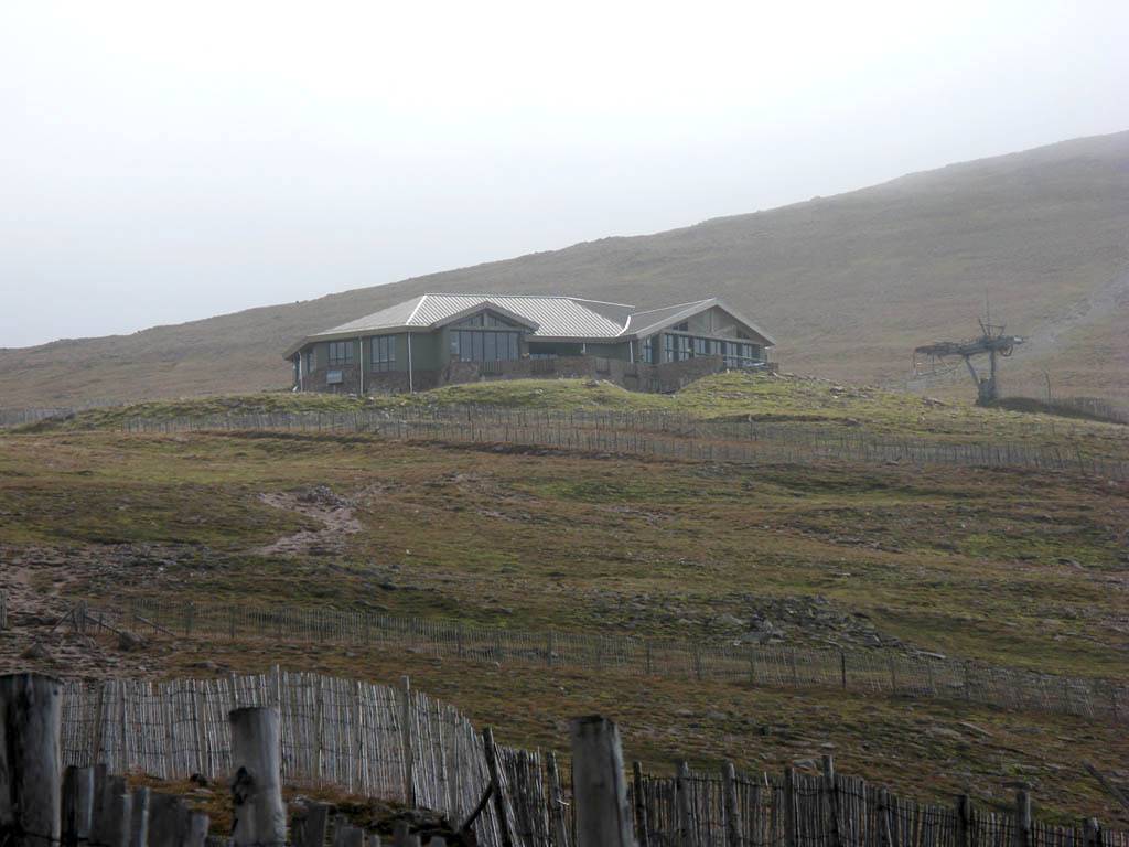
| Approaching Cairn Gorm, with what looks like a wave hole above it. | The Cairn Gorm Funicular Railway carpark. | The Funicular Railway leading up to the Ptarmigan Station and the cloud capped summit beyond. | Looking down at the base station and car park (Loch Morlich and Aviemore in the background) from the start of the Windy Ridge path. | Looking towards the summit from the start of the Windy Ridge path. |
 IMG_3968_3971_Panorama.jpg |
 IMG_3977.jpg |
 IMG_3978.jpg |
 IMG_3979_3985_Panorama.jpg |
| Panorama of the start of the Windy Ridge path. | The scenery rapidly becomes more and more breathtaking as I climb away up the steep stepped path, with Loch Morlich a prominent landmark in the middle background. | ||
 IMG_3986.jpg |
 IMG_3988_3989_Panorama.jpg |
 IMG_3992_3994_Panorama.jpg |
 IMG_3996.jpg |
 IMG_3997.jpg |
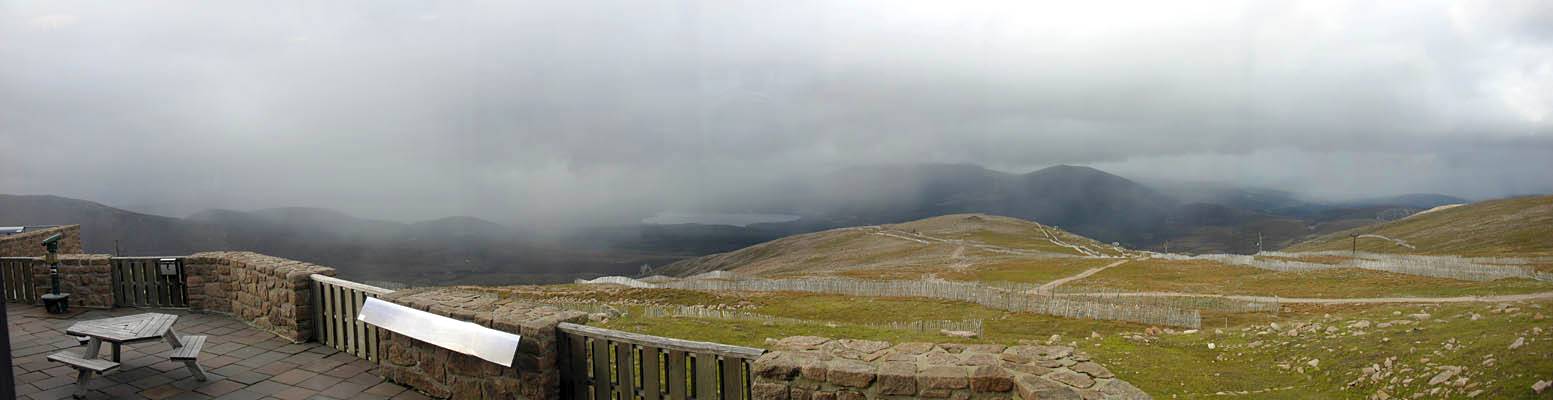
| Looking up to the Ptarmigan station and back the way I came from the top end of the Windy Ridge as a shower threatens. | Only light drizzle reaches me, but it is enough to produce this faint rainbow. | Not so far to the Ptarmigan station now. | The mountains upwind looking rather misty as the weather threatens to deteriorate. | |
 IMG_4006_4016_360Panorama.jpg |
 IMG_4017.jpg |
| 360 degree panorama next to the Ptarmigan Station. By now the weather is improving again. | Renée on the viewing platform of the Ptarmigan building. |
 IMG_4020_4022_Panorama.jpg |
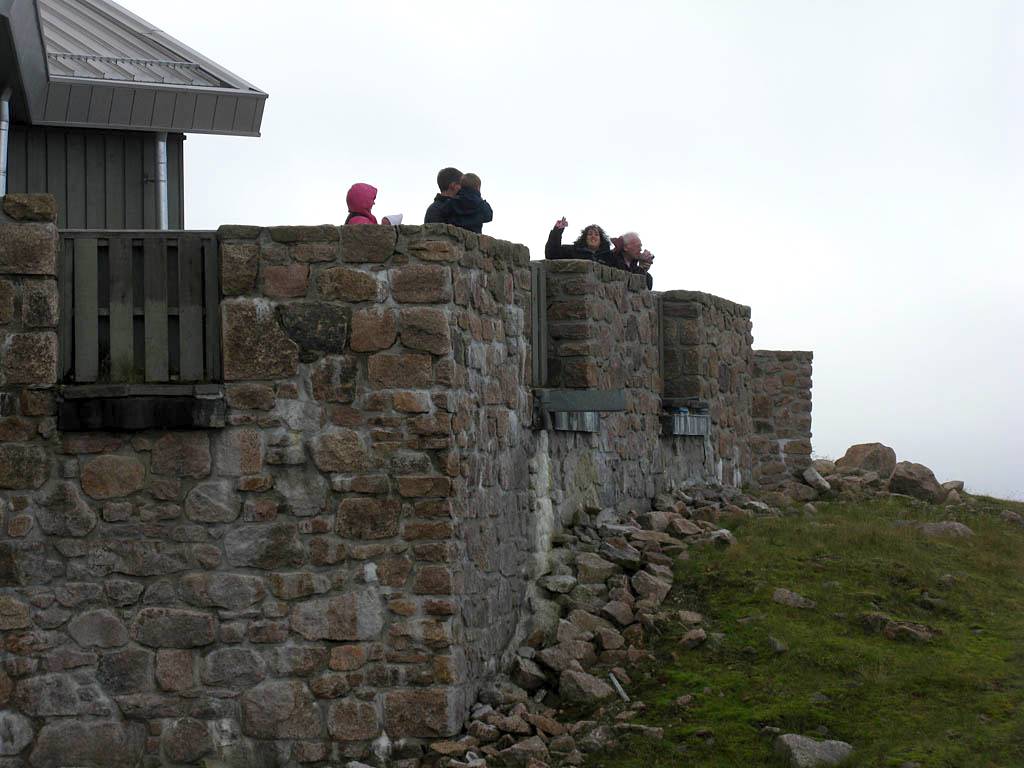
| The view downslope from the side of the Ptarmigan building. |
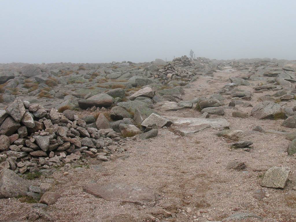
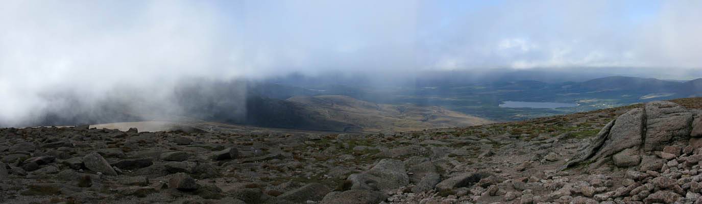
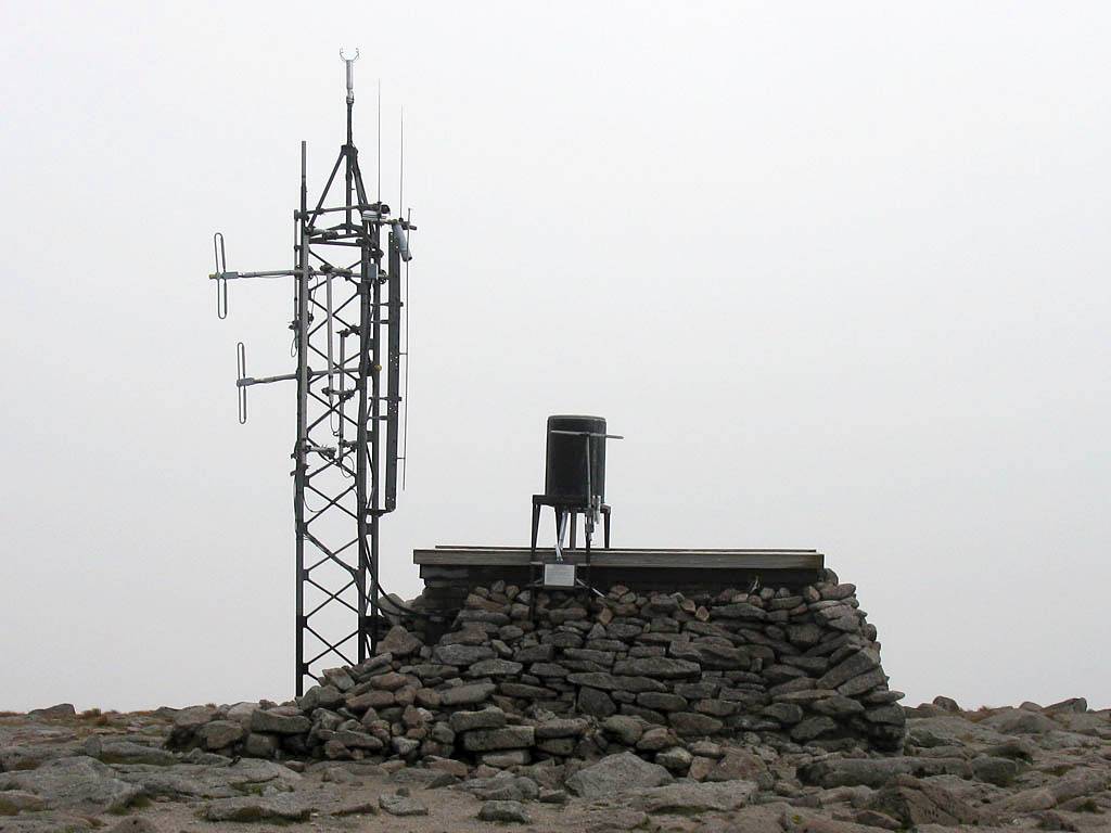
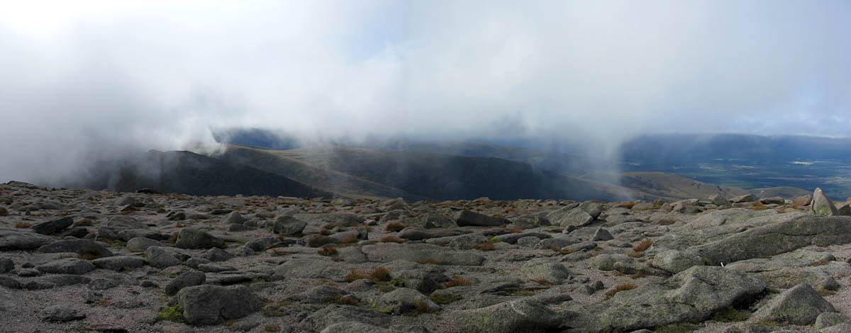
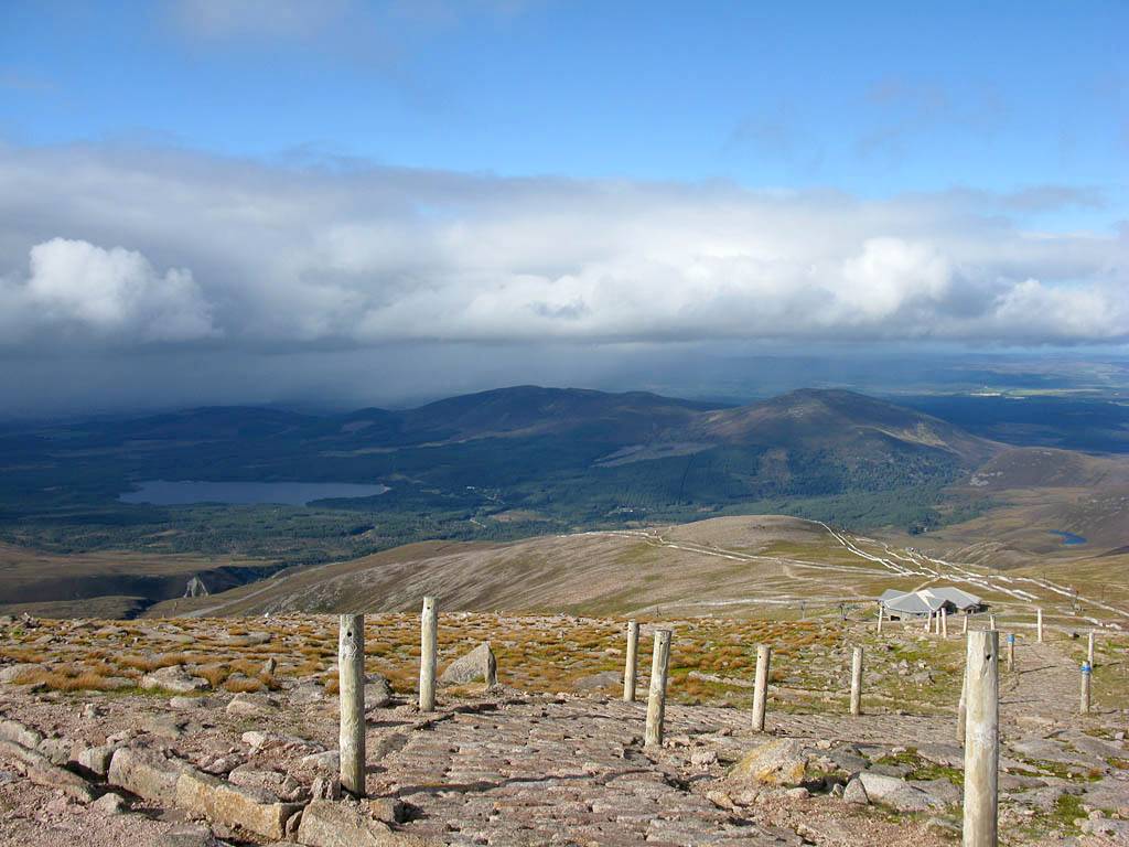
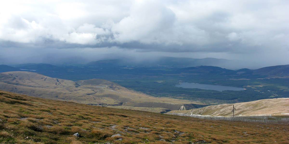
Indeed 100m above the ptarmigan station I entered cloud. Soon I was above the steep section and crossing the plateau to the summit in cloud. The summit walk was straightforward. The summit at 1245m (4084ft) was marked by a huge pile of rocks, and nearby just visible in the mist was the weather station. I took a good look around but didn't have to wait long before the cloud started to break up a bit. Eventually the cloud rose above the summit slightly. I never quite saw the highest peaks but otherwise the views were panoramic and the scruffy cu rushing past in the strong wind were exhilarating! I also took videos as well as many pictures. At one point I lost a battery but another walker found it right by the summit rock pile and handed it back to me. Phew! After quite a while in the cold wind I tore myself away and descended as fast as I could. On the way down it was gloriously sunny, but a heavy looking shower looked to be soaking Aviemore in the distance. Renée came out to the platform to watch me descend.
 IMG_4023.jpg |
 IMG_4024_4027_Panorama.jpg |
 IMG_4030_4031_Panorama.jpg |
 IMG_4033.jpg |
 IMG_4035.jpg |
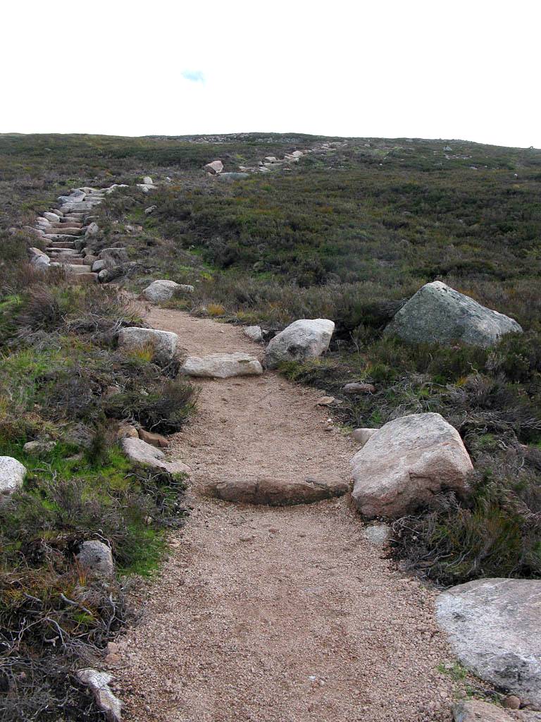
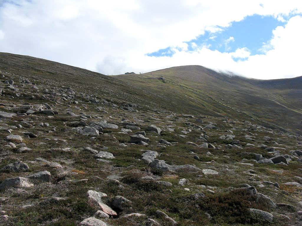
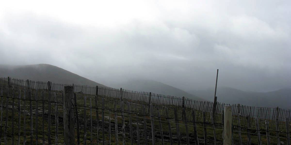
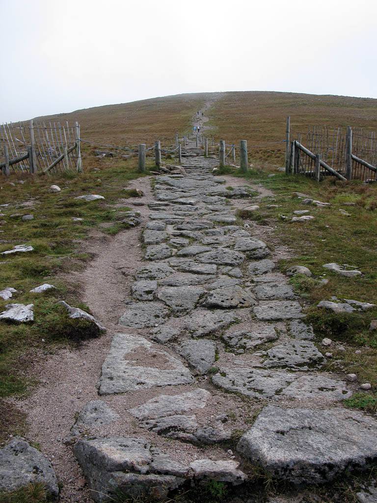
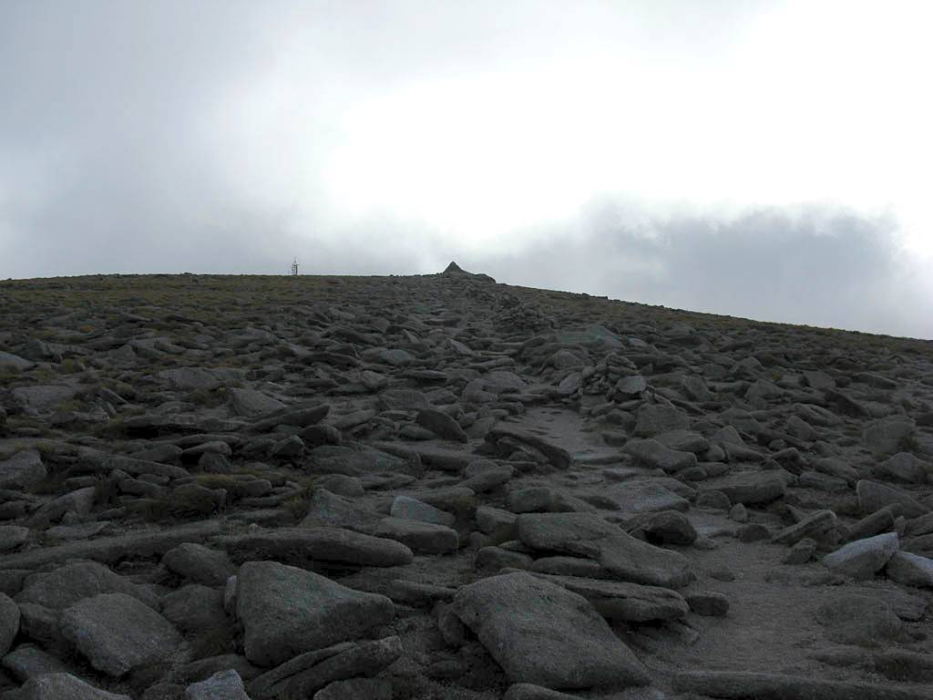
| The path to the summit as seen from outside the Ptarmigan building. | Looking around as I ascend the summit path. | Then I reach cloudbase and enter cloud. | The path on the plateau above the steep section is marked by lines of rock piles. Useful in cloud. | |
 IMG_4036.jpg |
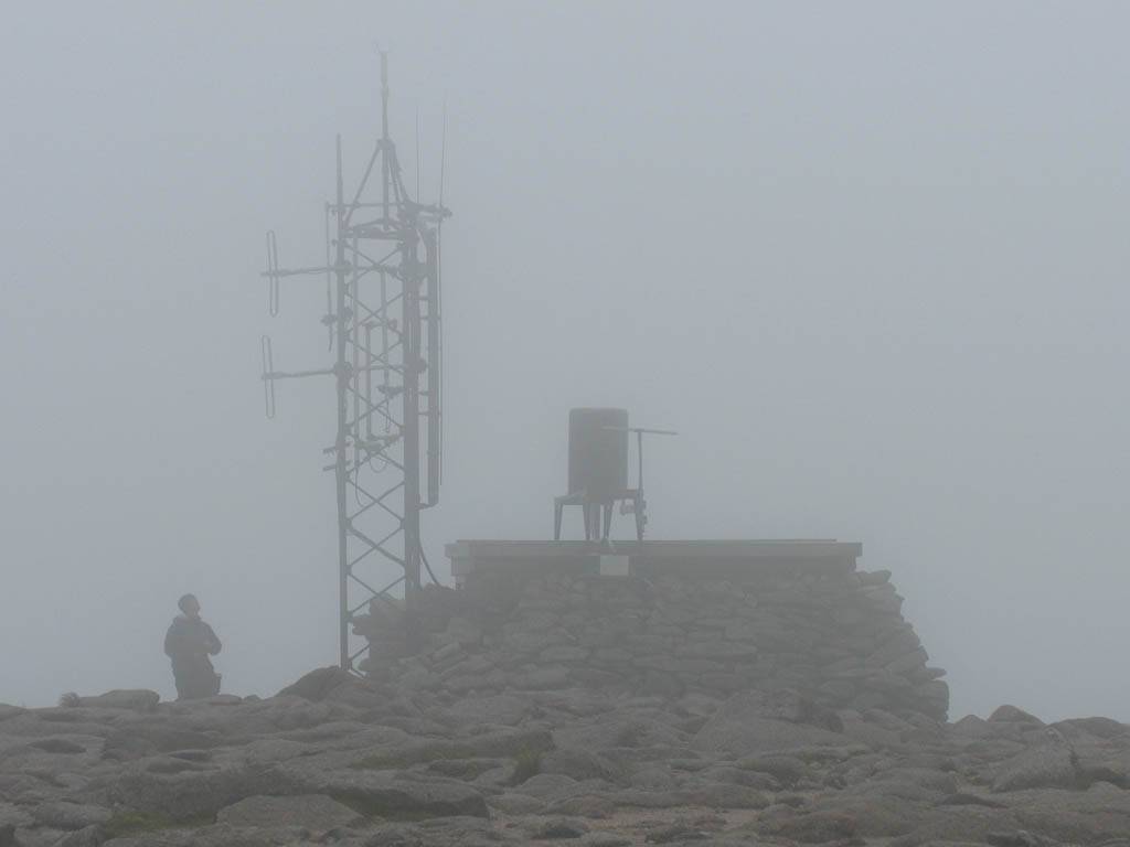 IMG_4037.jpg |
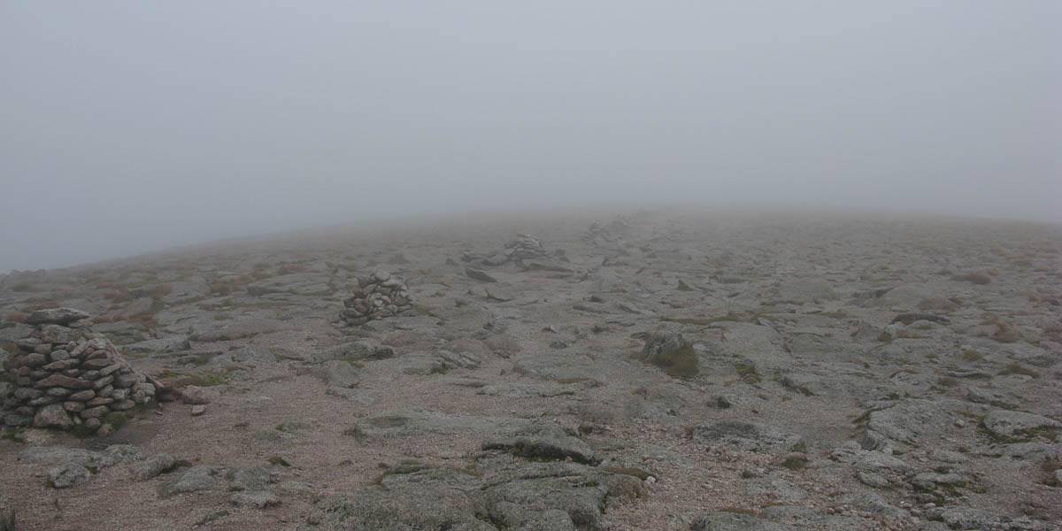 IMG_4038.jpg |
 IMG_4040_4042_Panorama.jpg |
 IMG_4044_4046_Panorama.jpg |
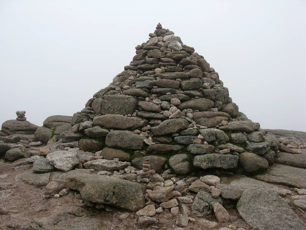
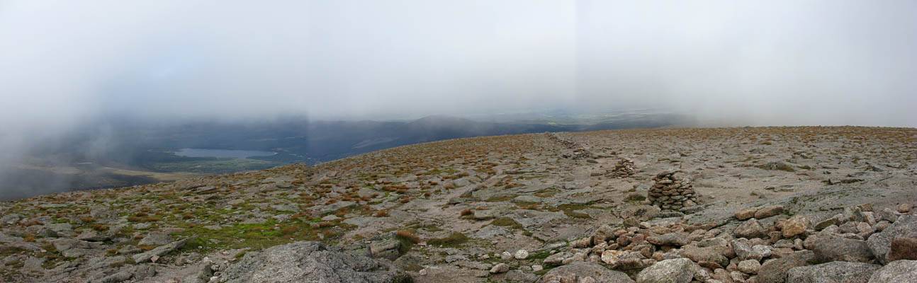
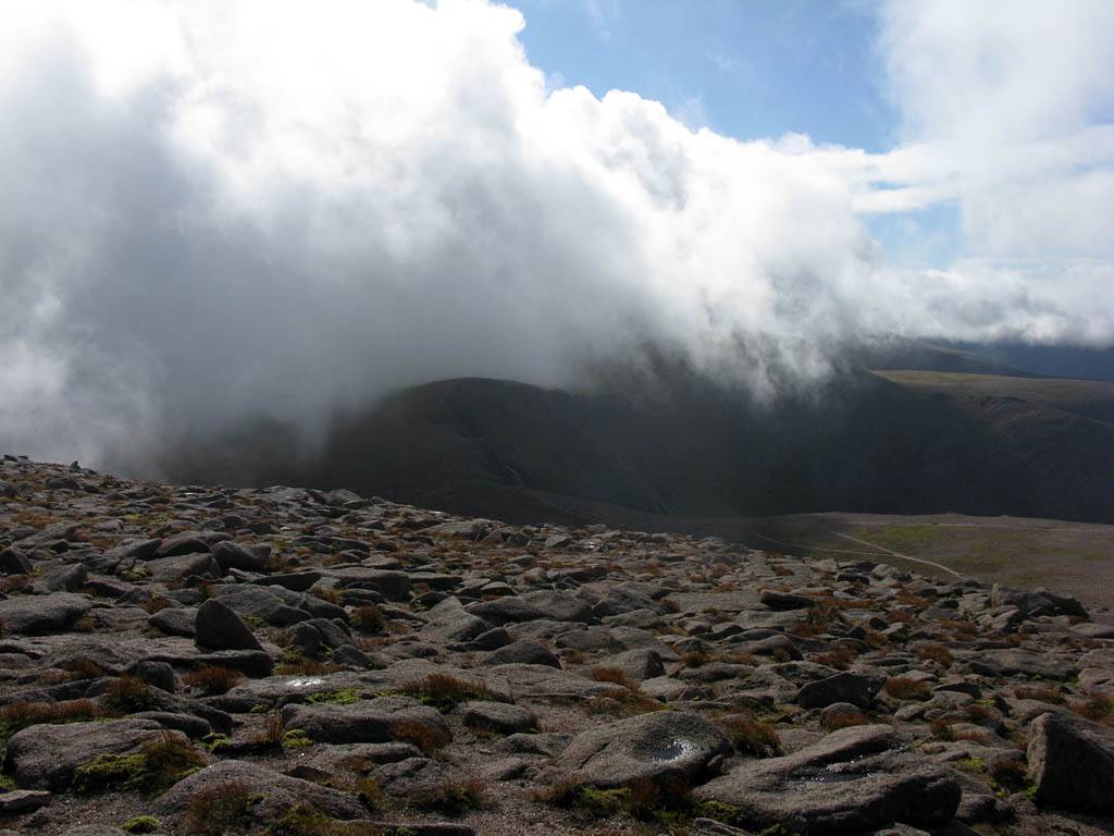
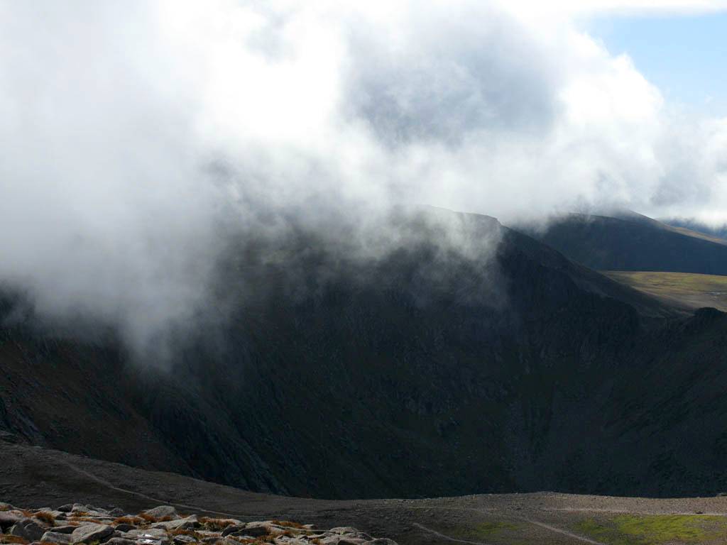
| The summit of Cairn Gorm. | From the summit, the weather station is just visible in the mist. | Looking back shows how vital those rock piles are. | ...and then the cloud starts to break up, revealing a whole new look to the summit plateau. | |
 IMG_4047.jpg |
 IMG_4048_4049_Panorama.jpg |
 IMG_4050.jpg |
 IMG_4051.jpg |
 IMG_4060.jpg |
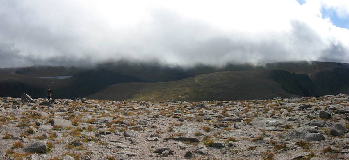
| The weather station in clear air. | Peeking Southwest towards Cairn Lochan under the tendrils of cloud as they rush past. | Continuing to watch as the cloudscape rapidly evolves and changes, and more and more blue sky appears. | ||
 IMG_4063_4067_Panorama.jpg |
 IMG_4073.jpg |
 IMG_4075.jpg |
 IMG_4086_4087_Panorama.jpg |
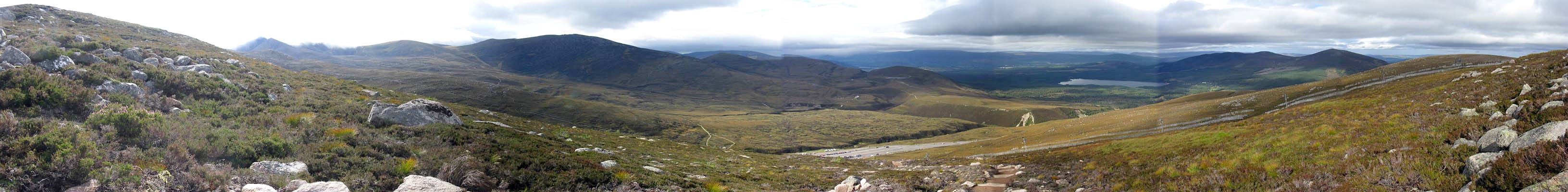
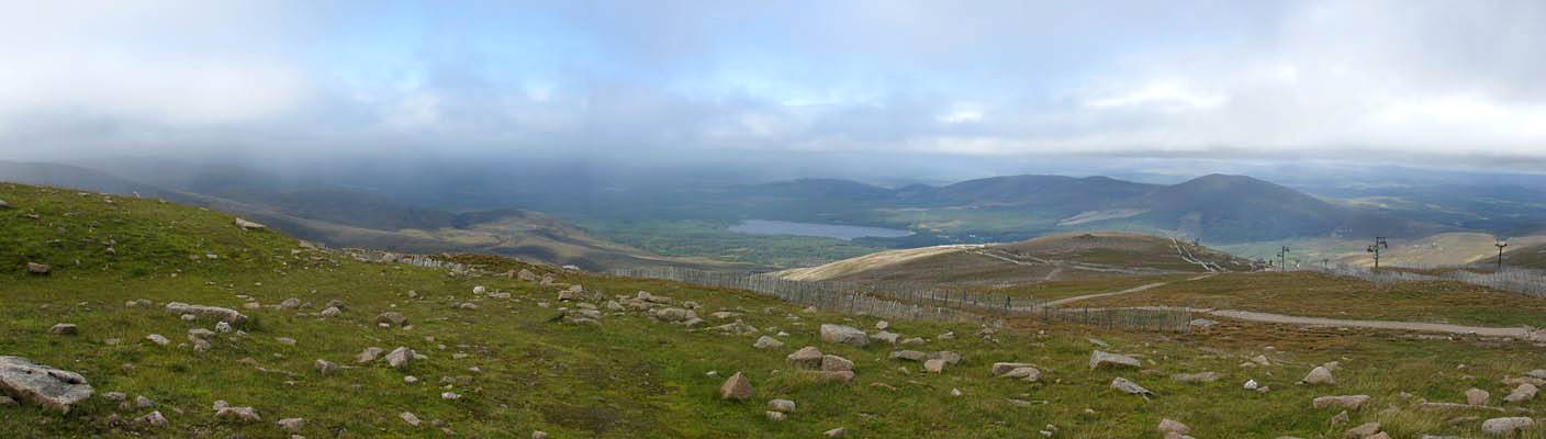
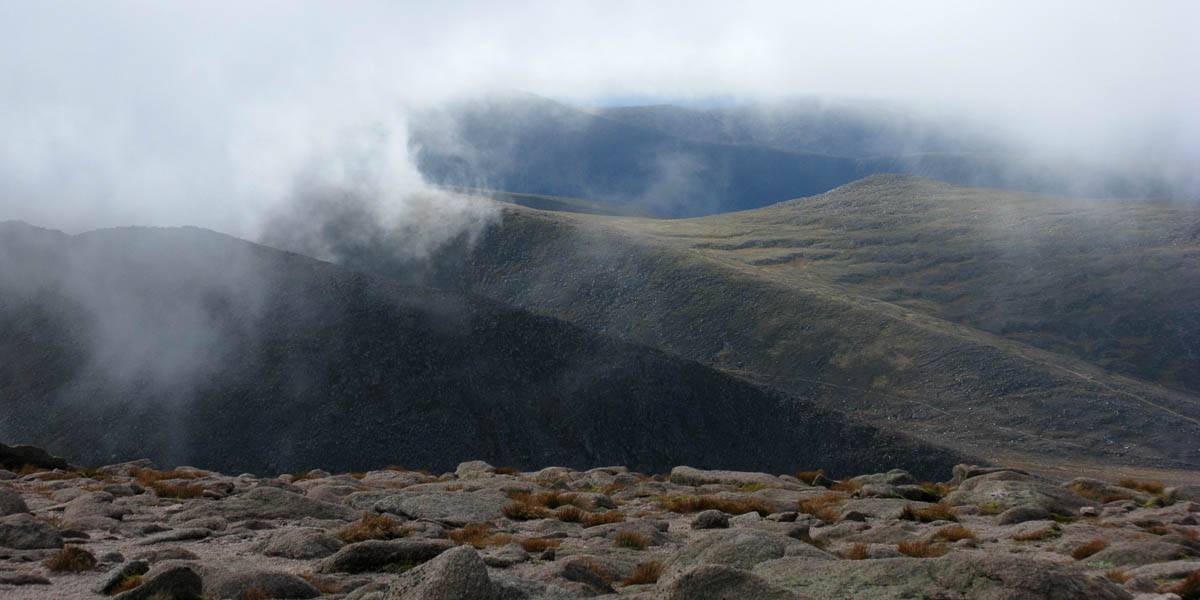
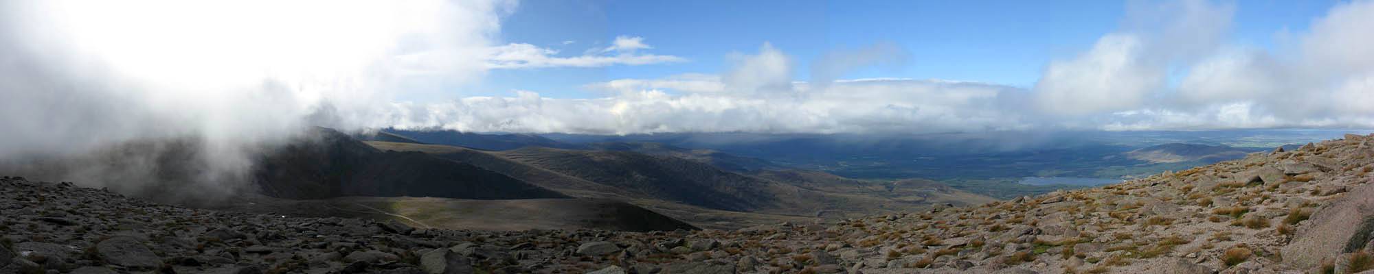
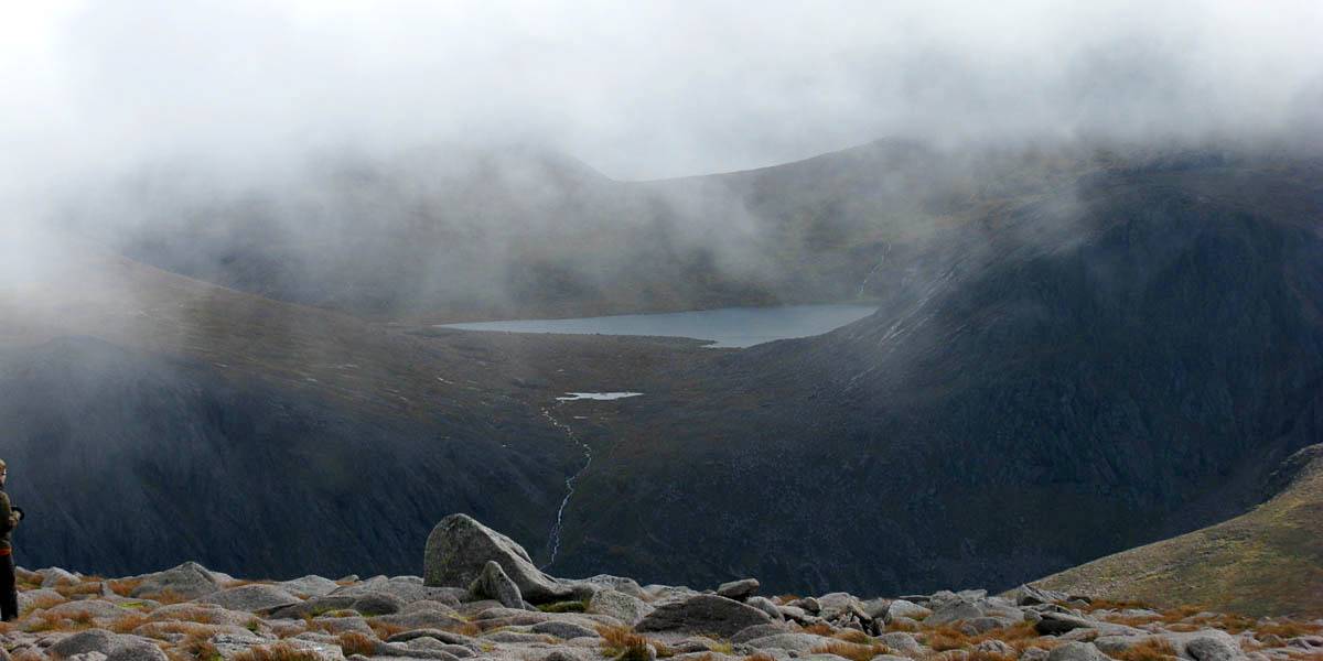
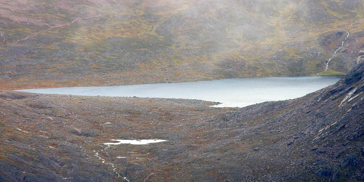
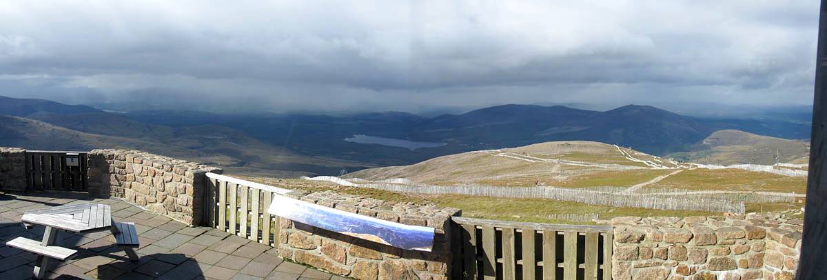
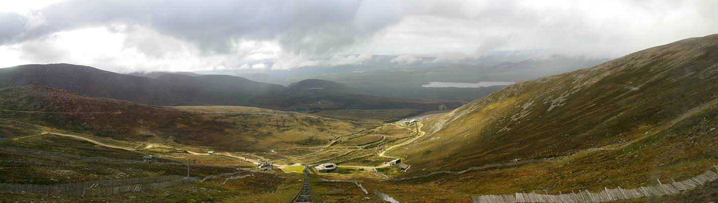
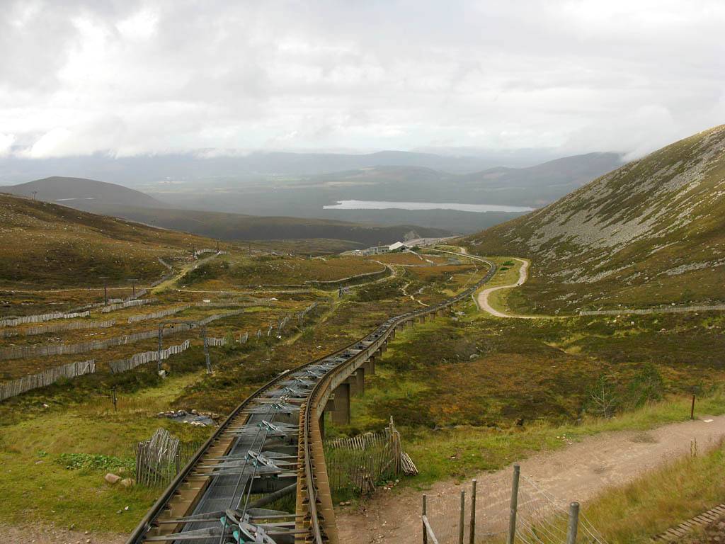
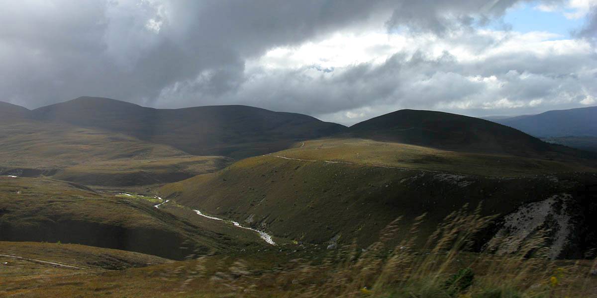
| After a while the sky has opened up nicely. | On the Southern side of Cairn Gorm Loch Etchachan can now be seen cradled under Ben Macdui and Derry Cairngorm. | A wider view of the Cairngorm plateau. | |
 IMG_4088_4099_360Panorama.jpg |
 IMG_4103_4104_Panorama.jpg |
 IMG_4105.jpg |
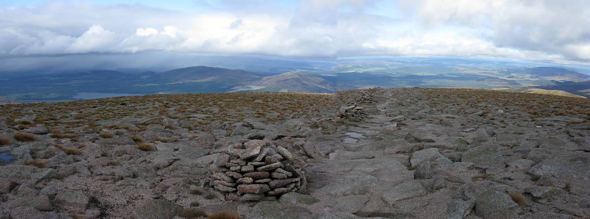
| 360 degree panorama taken from half way between the summit rock pile and the weather station. North is just right of centre. | Heading back along the plateau as I start to descend, and looking back as I leave the summit behind. | |
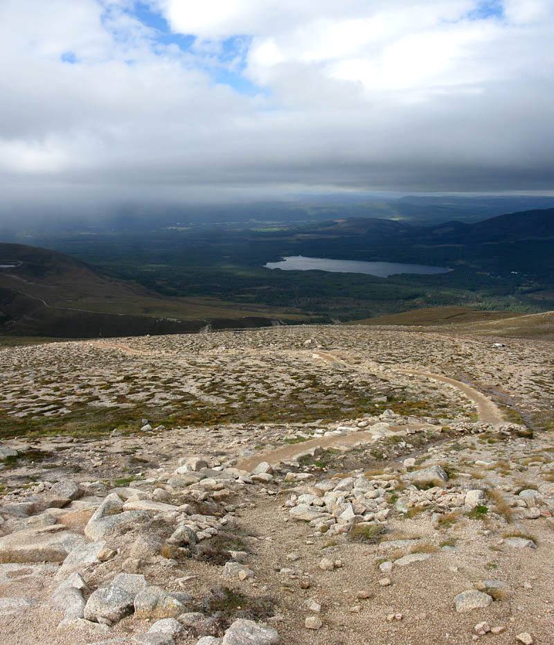
 IMG_4107.jpg |
 IMG_4116.jpg |
 IMG_4119.jpg |
| Looking down from a now cloud free top of the steep section. | As I descend in glorious sunshine I can see Aviemore is being soaked by series of showers. | Renée on the viewing platform of the Ptarmigan building watching me descend from the summit. Hood up to protect from the strong wind. |
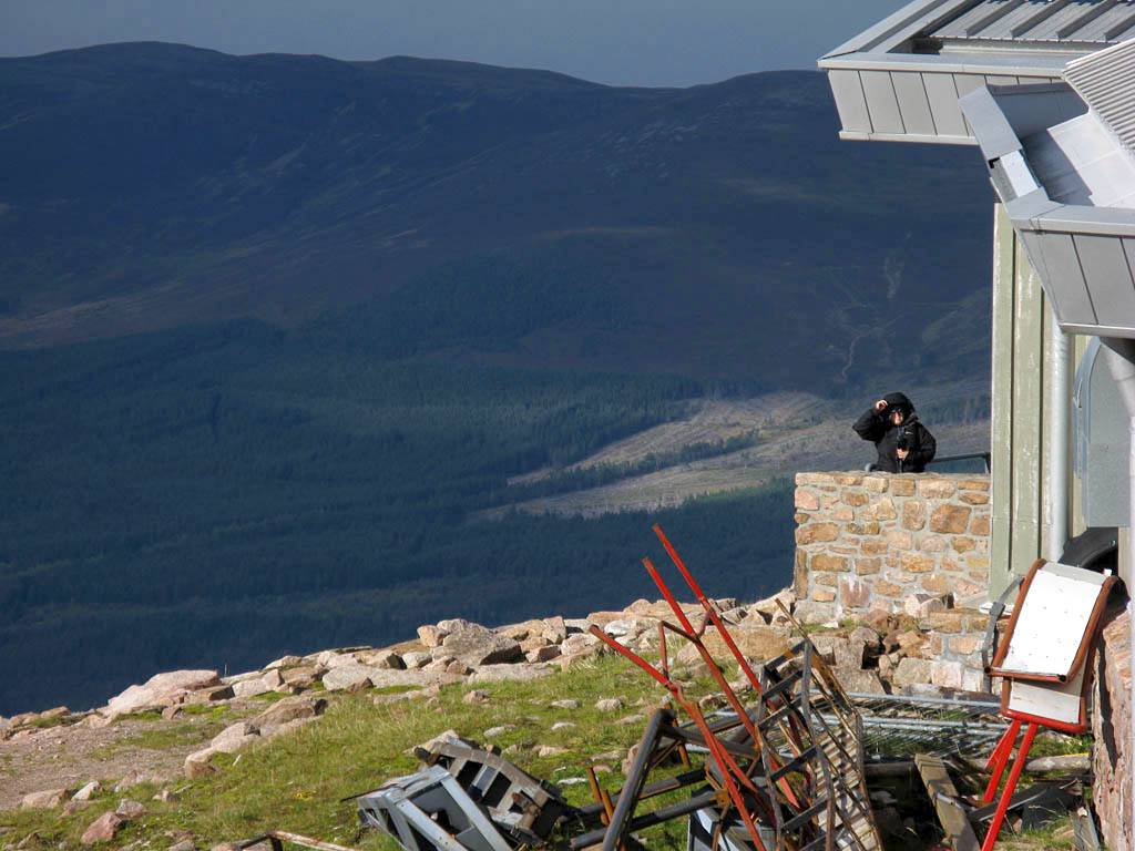
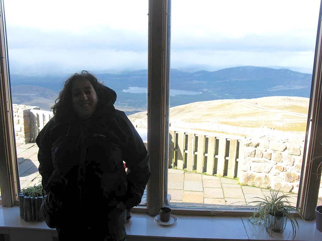
Back in Ptarmigan station I signed in at the walker's entrance, then joined Renée for a much needed tea and munchies as I cooled down and a shower obscured Loch Morlich. Then I bought a single train ticket down and we returned to the car park.
 IMG_4121.jpg |
 IMG_4123_4124_Panorama.jpg |
 IMG_4125_4129_Panorama.jpg |
 IMG_4131.jpg |
 IMG_4133.jpg |
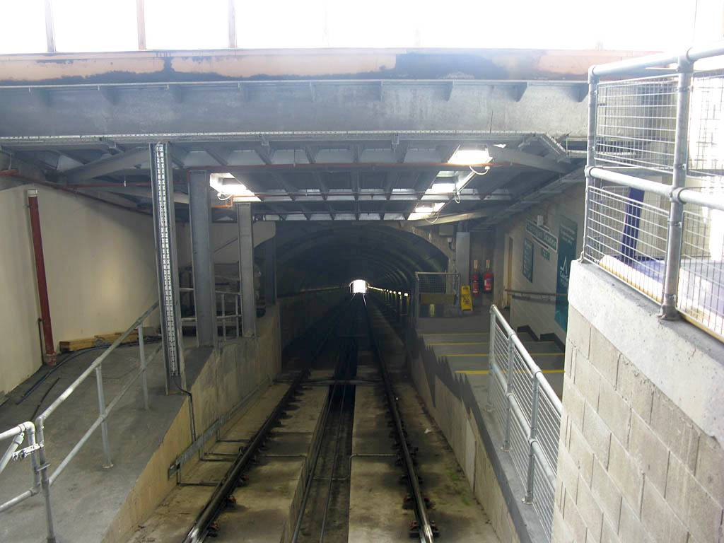
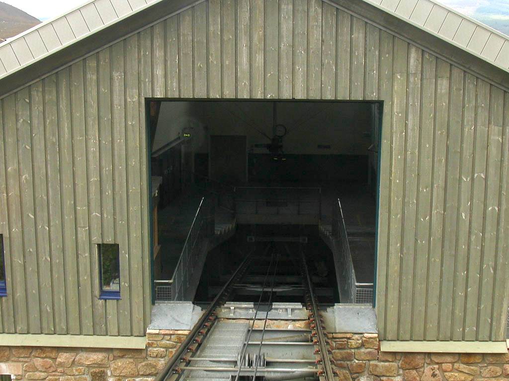
| Renée in the café in front of the viewing platform. | The view from the viewing platform as the weather starts to close in. | Loch Morlich starts to get obscured by an incoming shower. | The view down the tunnel from the funicular train at the Ptarmigan station. | |
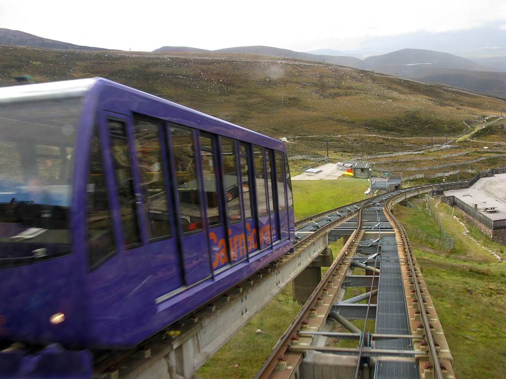
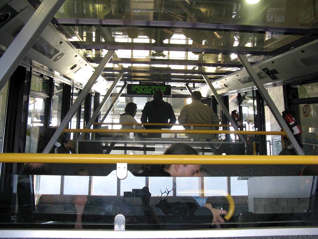 IMG_4137.jpg |
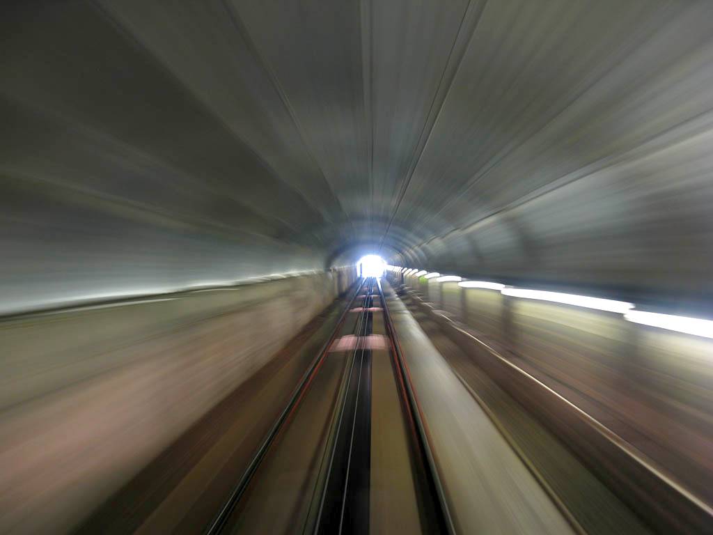 IMG_4140.jpg |
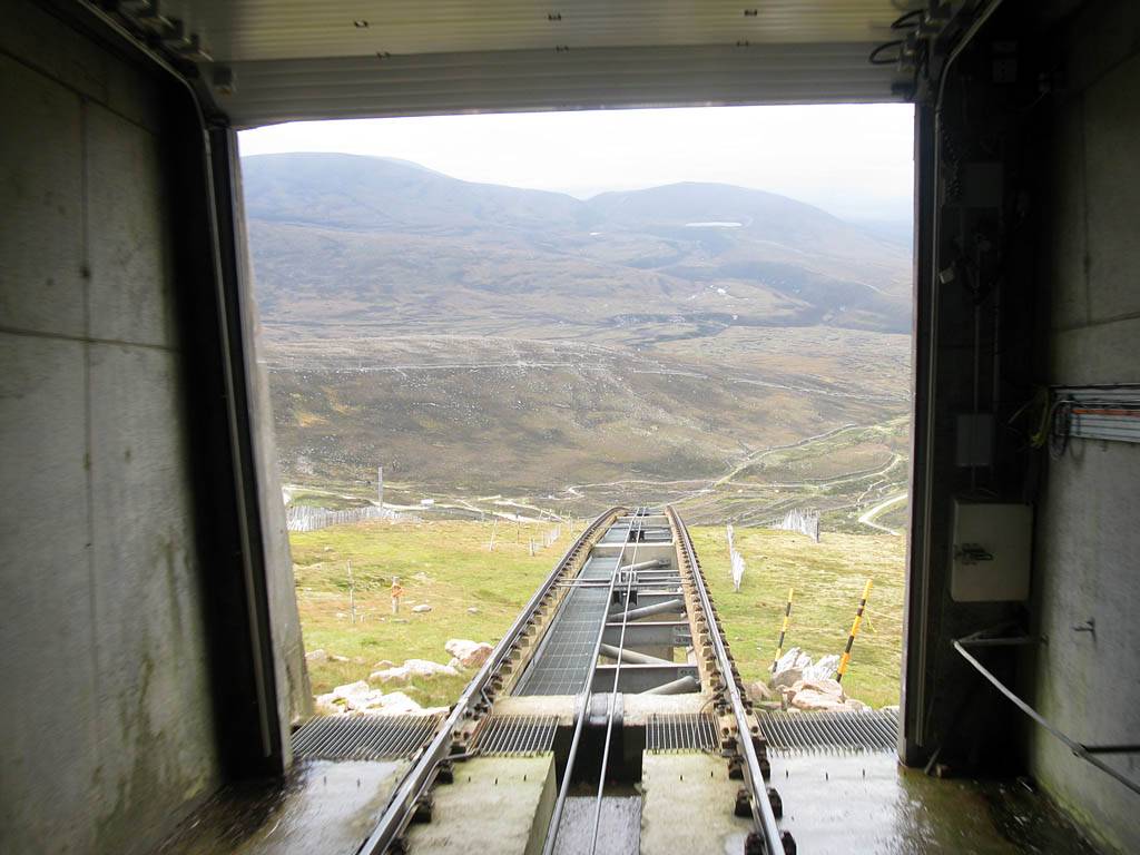 IMG_4141.jpg |
 IMG_4142.jpg |
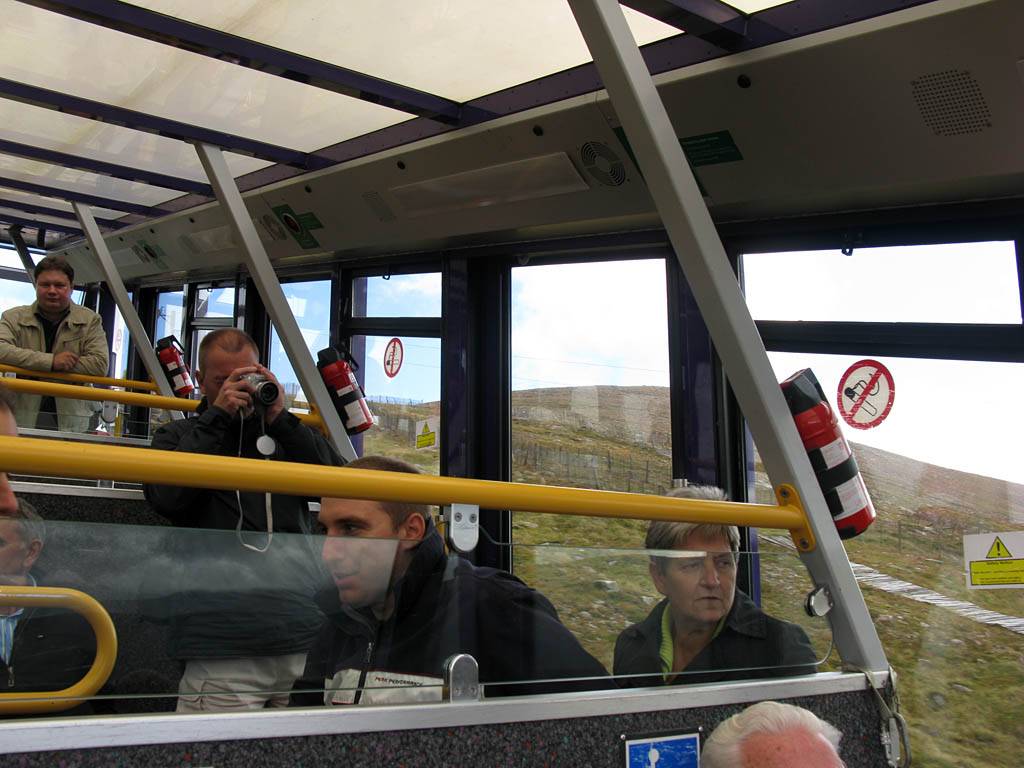 IMG_4143.jpg |
 IMG_4149_4151_Panorama.jpg |
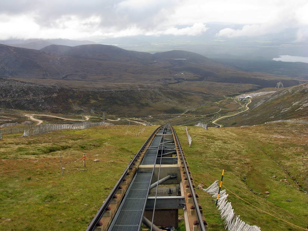
| Waiting for the train to depart. | On the move through the tunnel. The low light levels make for a lovely 'warp speed' slow exposure. | Exiting the bottom of the tunnel the view is instantly familiar and spectacular. | Other passengers enjoying the view. | Another panorama taken as we descend. The mid point where the track splits into two is just ahead. | |
 IMG_4155.jpg |
 IMG_4158.jpg |
 IMG_4166.jpg |
 IMG_4171.jpg |
 IMG_4174.jpg |
 IMG_4176_4177_Panorama.jpg |
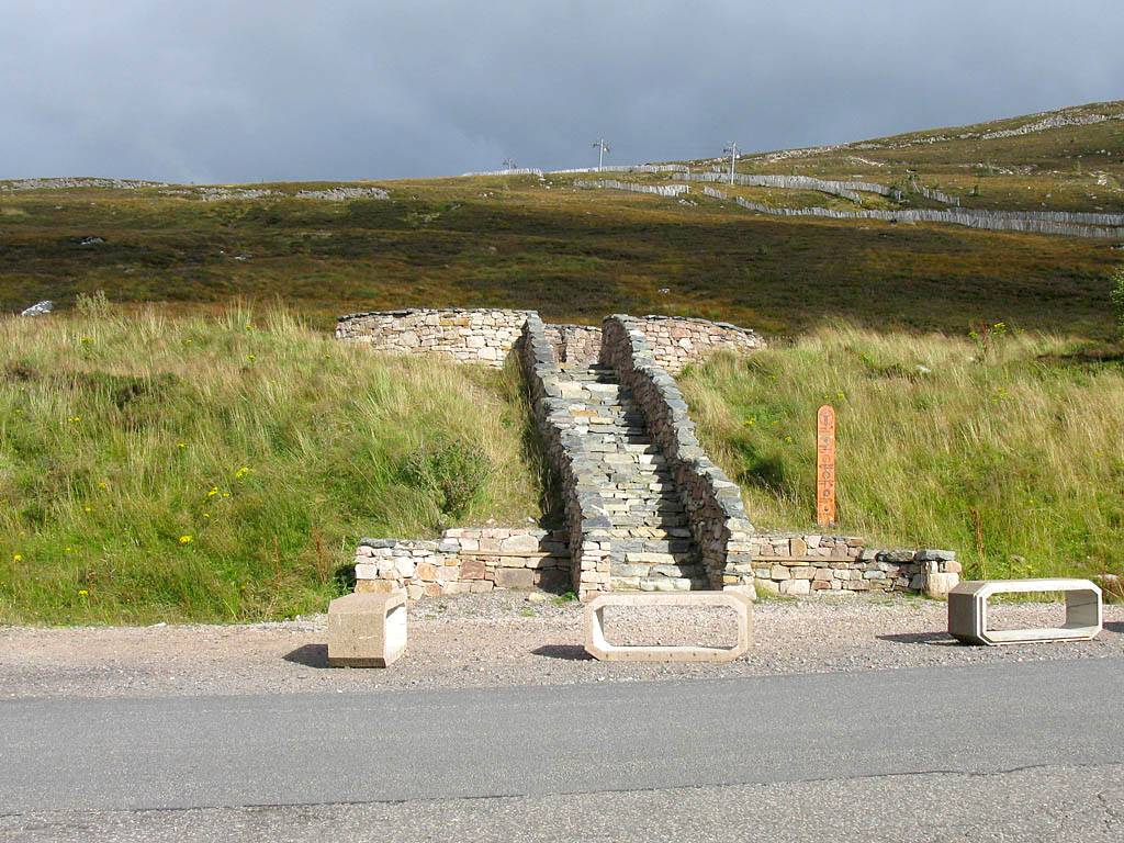
| Passing the other train at the mid point. | Continuing on down to the bottom. | Arriving at the base station. | The start point of the access path to the windy ridge path right by where the car is parked. | One last look around as we start to descend from the carpark back towards Aviemore. The stream is the confluence of Caochan Duhb a' Chadha, Allt Creag an Leth-choin and Allt Coire an t-Sneachda. This river flows down through Glen More into Loch Morlich. | |
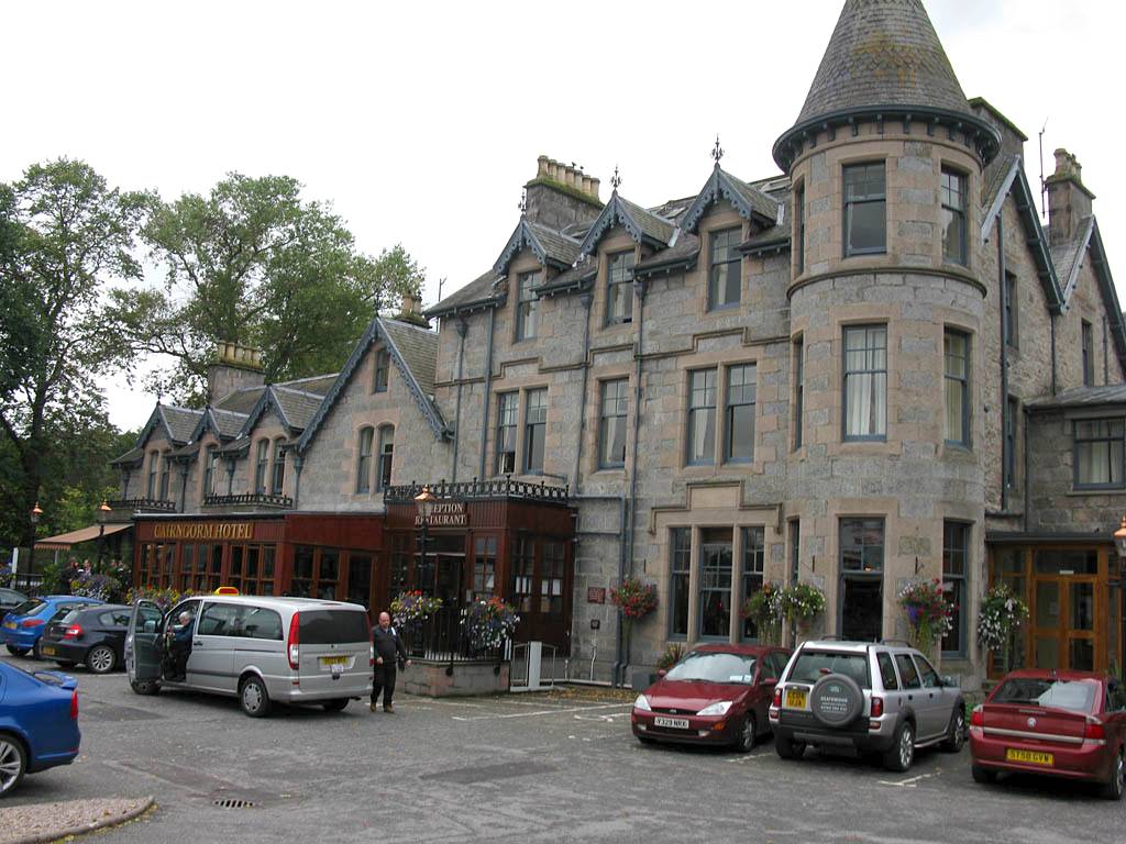
Once back at the car we drove straight to the BnB where we checked in and rested for a bit. We then walked to the Cairngorm Hotel for supper. On the way we looked briefly in a couple of shops. We had a nice supper with a 25% discount thanks to a voucher given to us by the BnB owner.
 IMG_4180.jpg |
 IMG_4193.jpg |
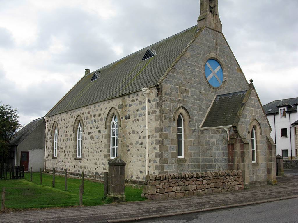 IMG_4195.jpg |
 IMG_4196.jpg |
 IMG_4200_4203_Panorama.jpg |
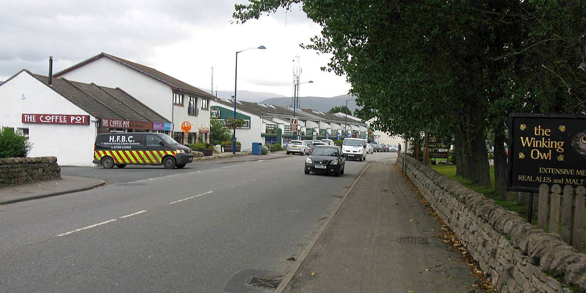
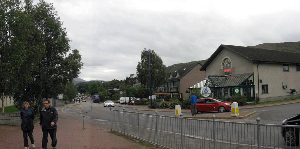
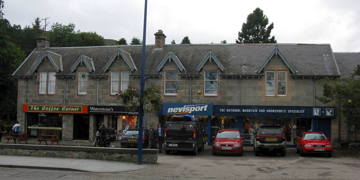
| Ravenscraig BnB. | Walking along Grampian Road towards the centre of Aviemore, passing a small church and a shopping arcade. | |||
 IMG_4204_4205_Panorama.jpg |
 IMG_4206.jpg |
 IMG_4207.jpg |
 IMG_4210.jpg |
 IMG_4211.jpg |
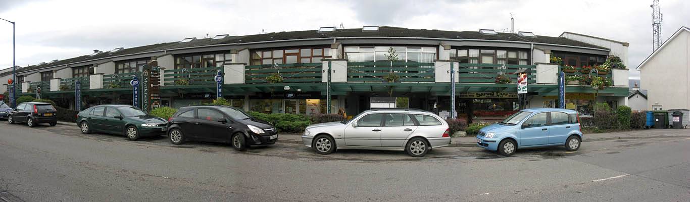
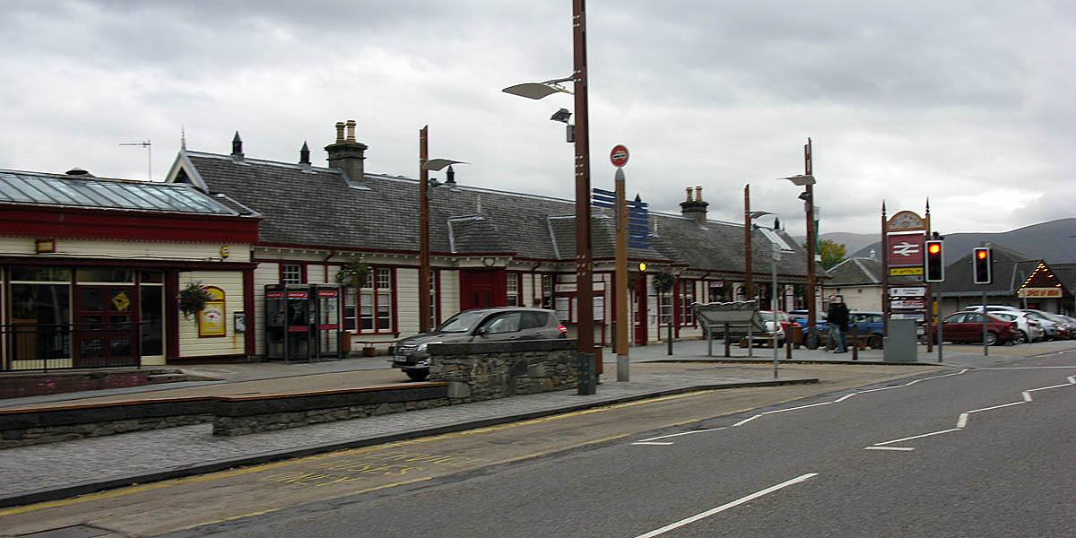
| Passing more shops and café's as we get closer to the train station. | Aviemore train station. Low light levels making it hard to take steady pictures now. | The Cairngorm Hotel where we had supper. | ||
Then we went to the train station to get the latest Strathspey steam train info before returning to the BnB to retire for the night. Looking ahead, tomorrow looks like the best day to walk. The weather looks poorer Wednesday so a good day to get on the steam train.
Click here to return to the Scotland 2011 Index Page.
Click here to go back to Scotland 2011 Day 6.
Click here to go forward to Scotland 2011 Day 8.