IMG_3609.jpg
IMG_3611.jpg
IMG_3614.jpg
IMG_3617.jpg
IMG_3623.jpg
Click here to return to the main Piccies index.
Click here to return to the main 2011 General Piccies Page.
Click here to return to the Scotland 2011 Index Page.
Click here to go back to Scotland 2011 Day 5.
Click here to go forward to Scotland 2011 Day 7.
The original plan today was to drive to the North Coast and round past Cape Wrath. However I woke up feeling rather rough. So in the end we decided to can that option as I wasn't up to it. Atleast we had a good drive yesterday... After breakfast we rested until 10:30am. We decided to go to the Eastgate Shopping Centre for 11am. Then the plan was to visit Portmahomack Beach, then Bonar Bridge before stopping at Evanton for the black rock gorge walk on the way back.
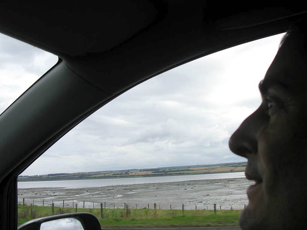
Eastgate was bigger than I expected. We had a good look around the shops. We were done after 40 minutes and had a slow walk back to the car. At midday we set off for Portmahomack in nice conditions. Over the Moray and Cromarty Firth bridges we went. Once off the main road we did go through a couple of light showers but it was pleasant at the beach.
|
IMG_3609.jpg |
IMG_3611.jpg |
IMG_3614.jpg |
IMG_3617.jpg |
IMG_3623.jpg |
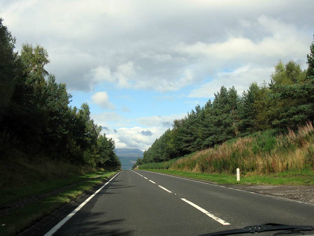
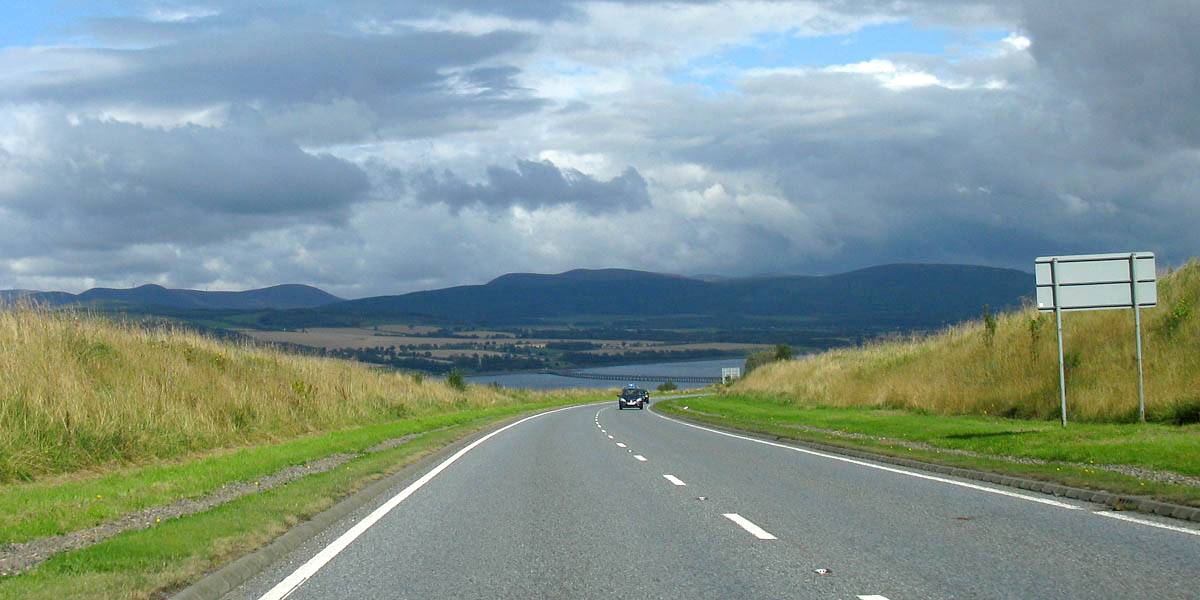
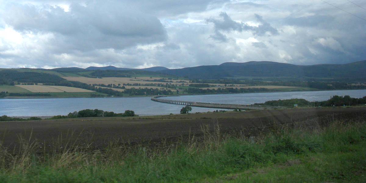
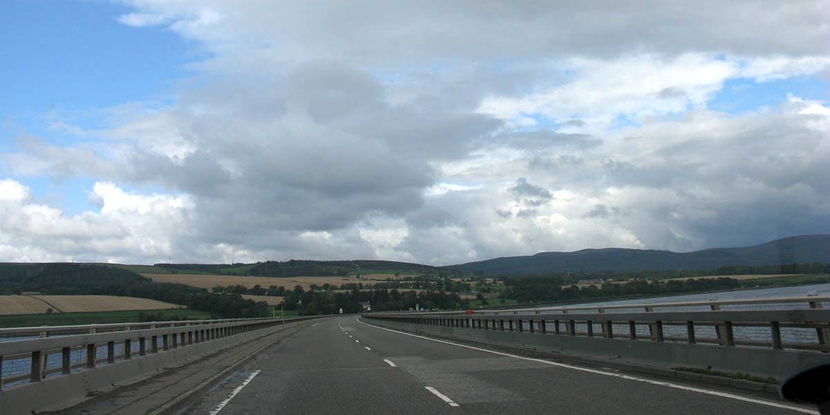
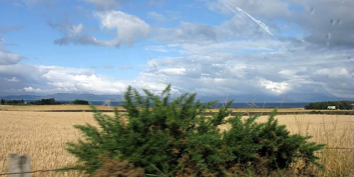
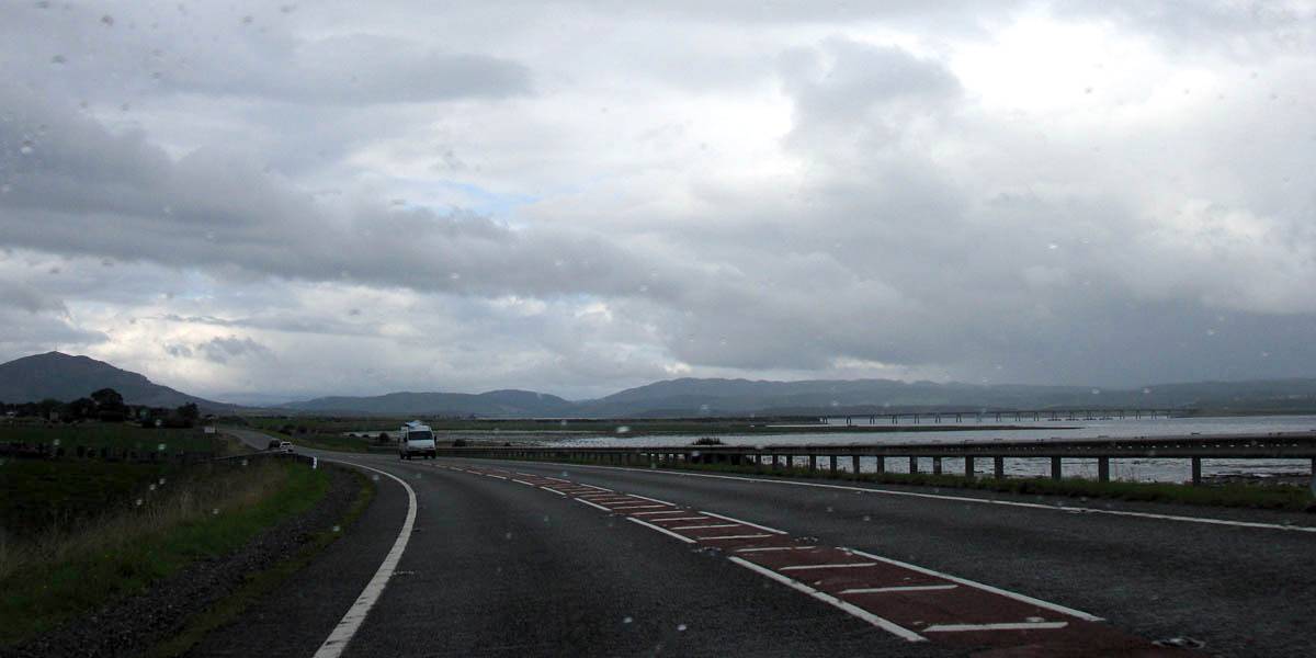
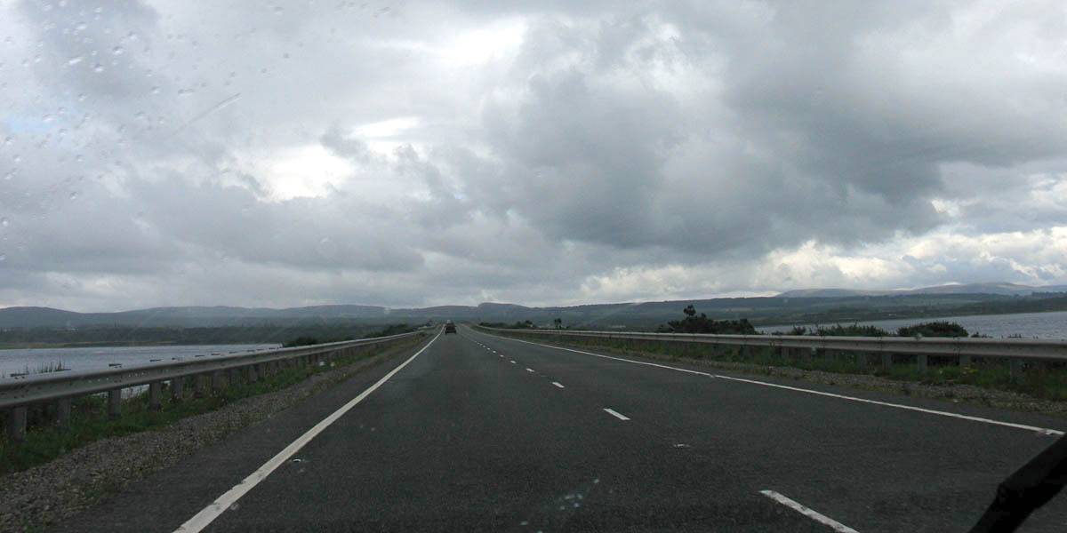
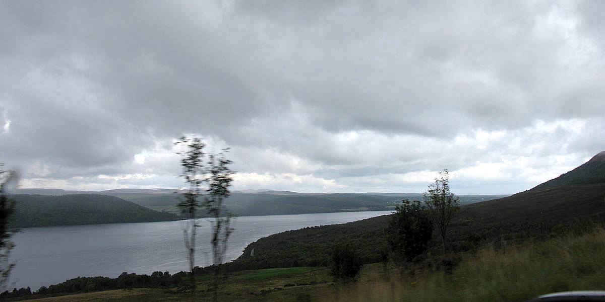
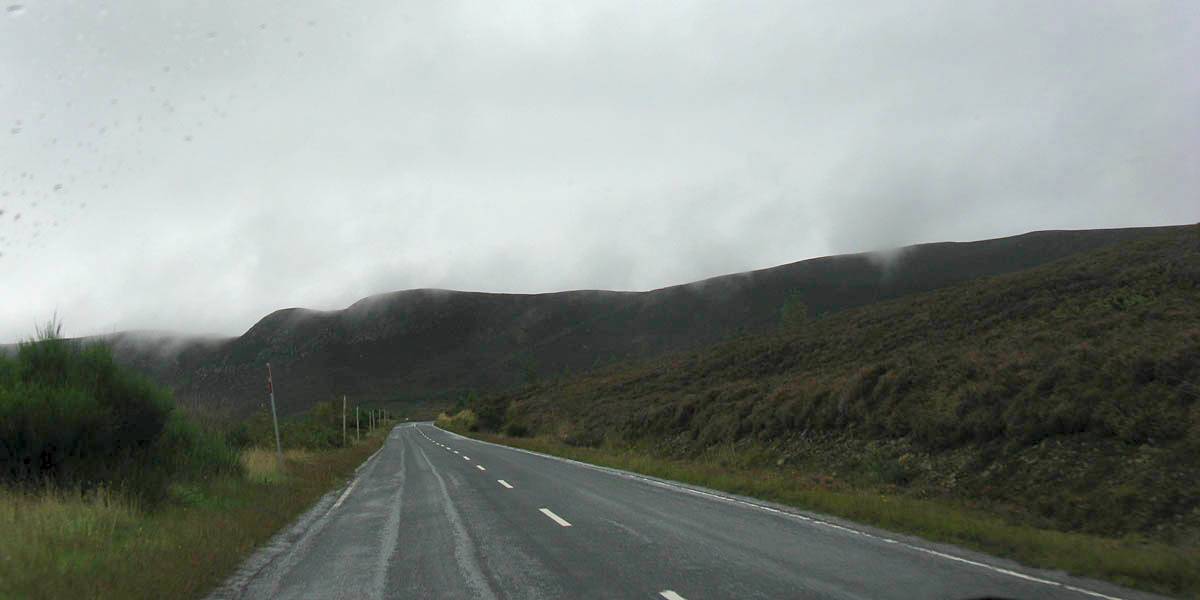
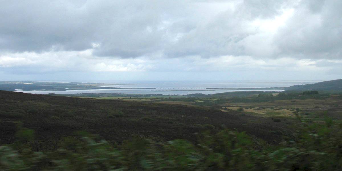
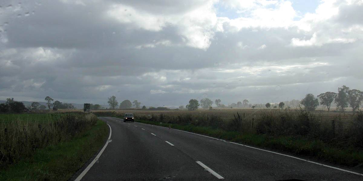
| Setting off acrtoss Black Isle after crossing over the Moray Firth. Like yesterday low clouds on the hills made the scenery ever prettier. | Approaching the bridge over Cromarty Firth. | Crossing Cromarty Firth. | ||
 IMG_3626.jpg |
 IMG_3627.jpg |
 IMG_3635.jpg |
 IMG_3639.jpg |
 IMG_3644.jpg |
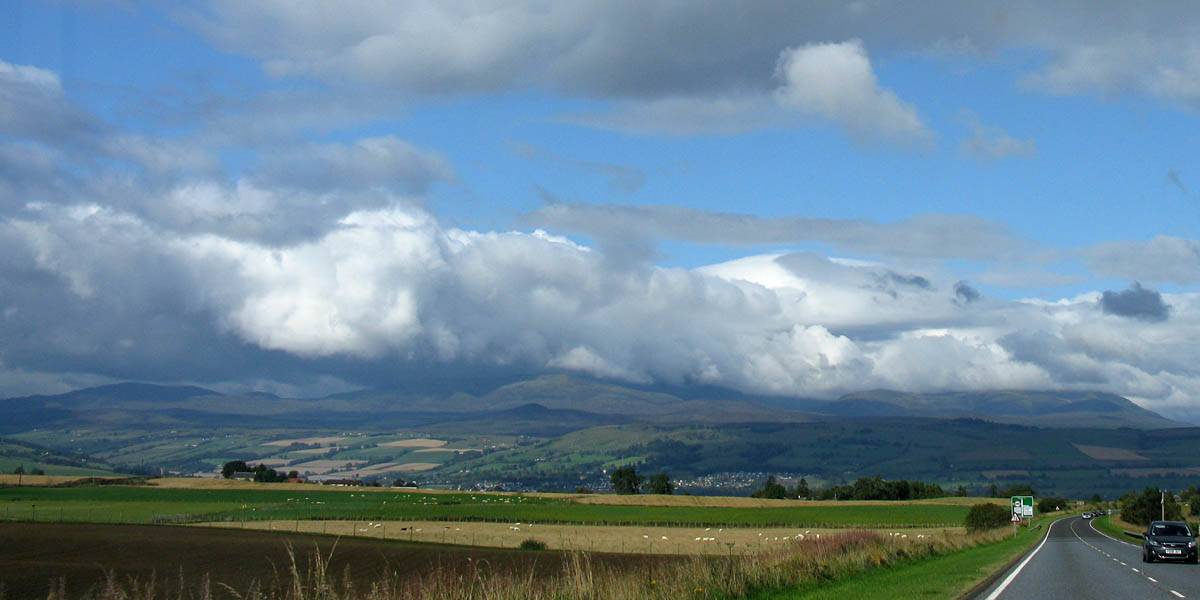
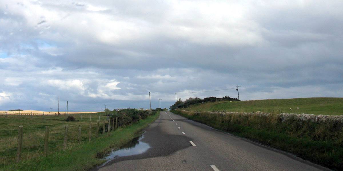
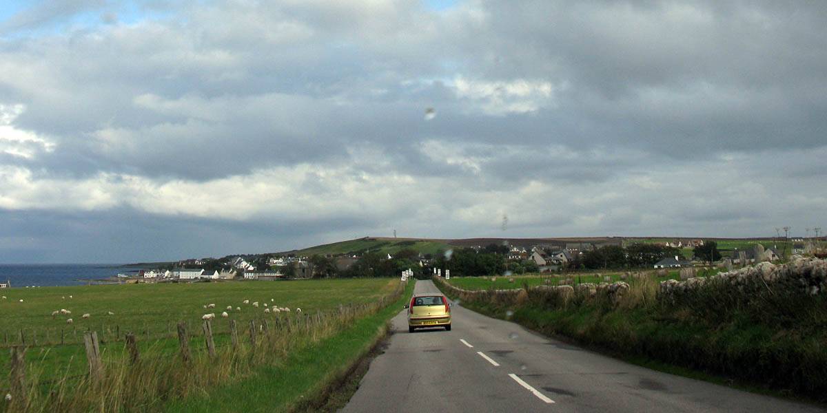
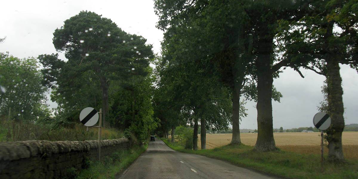
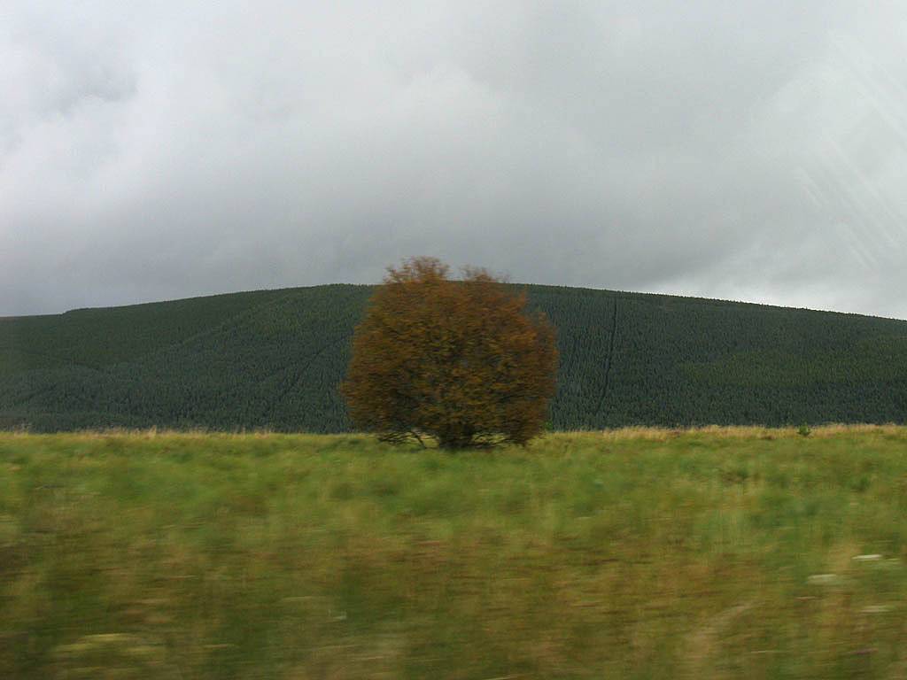
| Driving along the north bank of the Cromarty Firth. | Driving past Alness on the A9 as we close in on the peninsula. | The quieter B9165. At one point we saw yellow in the distance and it looked like a beach. But on arrival it turned out to be a golden wheat field. | Approaching Portmahomack. | |
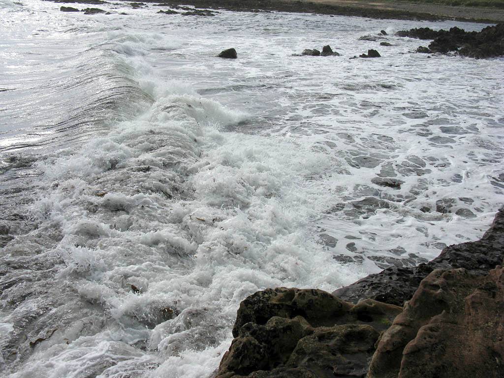
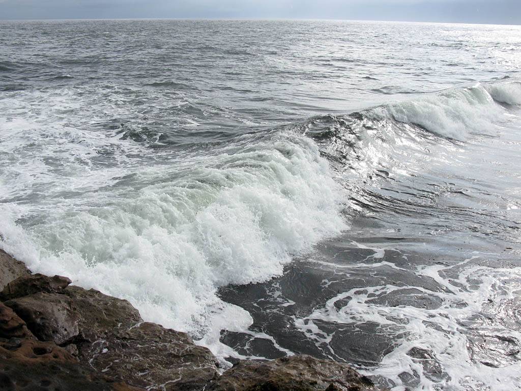
After a look around Portmahomack beach we carried on to Wilkhaven at the tip of the peninsula where there was a lighthouse. It was a much wilder rocky place here than back at the beach. We had time to look around the cliffs and rocks before a heavy shower arrived. We scurried back to the car and drove back to the beach where we parked up and ate snacks for lunch in the car while the rain came down in torrents.
 IMG_3648_3658_360Panorama.jpg |
 IMG_3660.jpg |
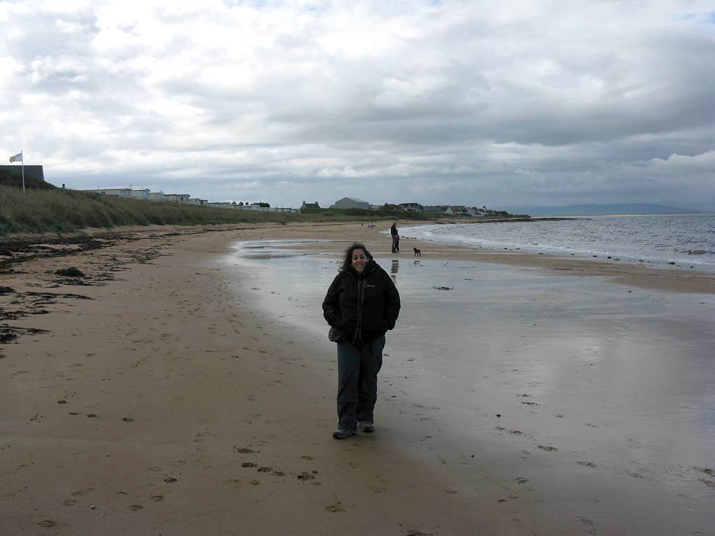
 IMG_3661.jpg |
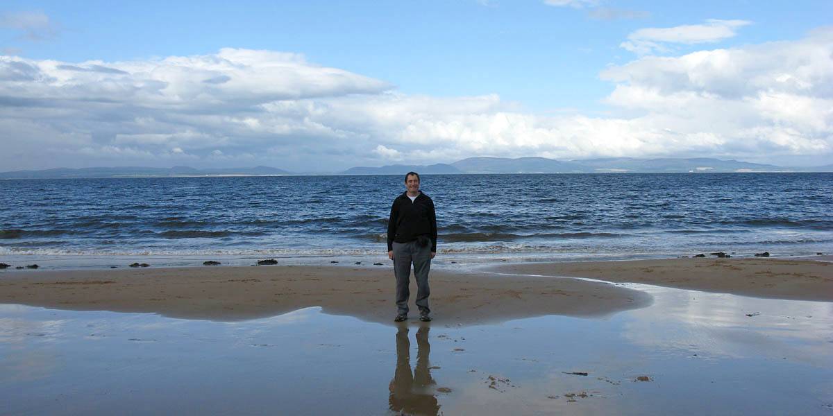
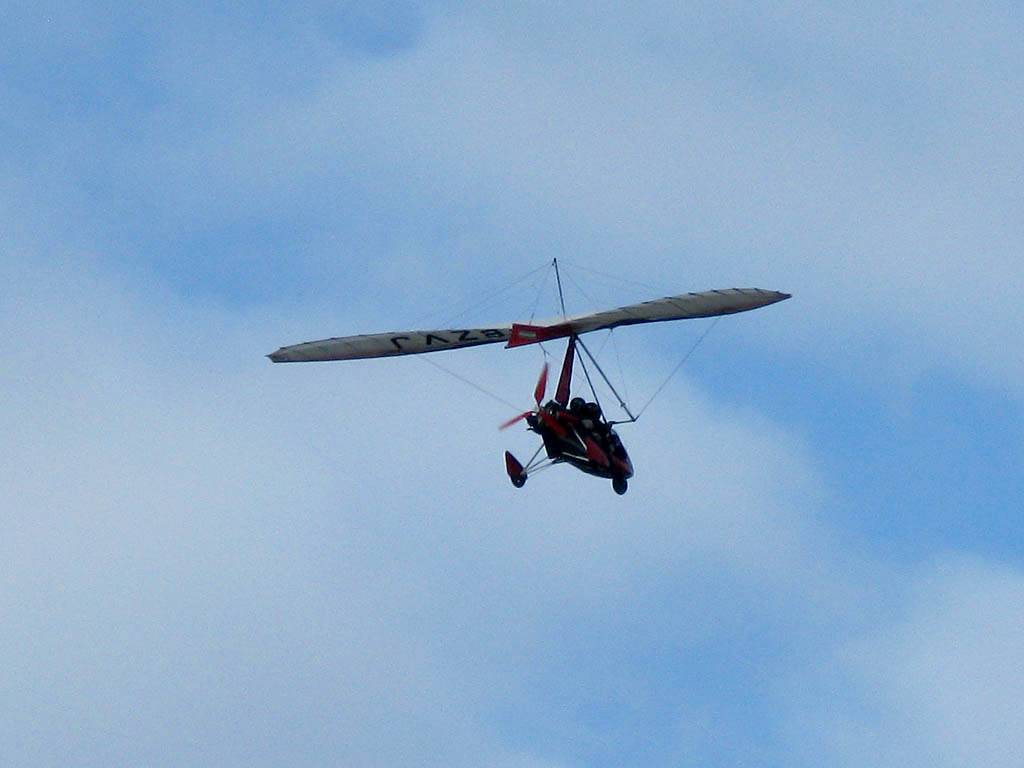
| 360 degree panorama of Portmahomack beach. | Mike on Portmahomack beach, with the Dornoch Firth behind. | A microlight passing by aloft. |
 IMG_3662.jpg |
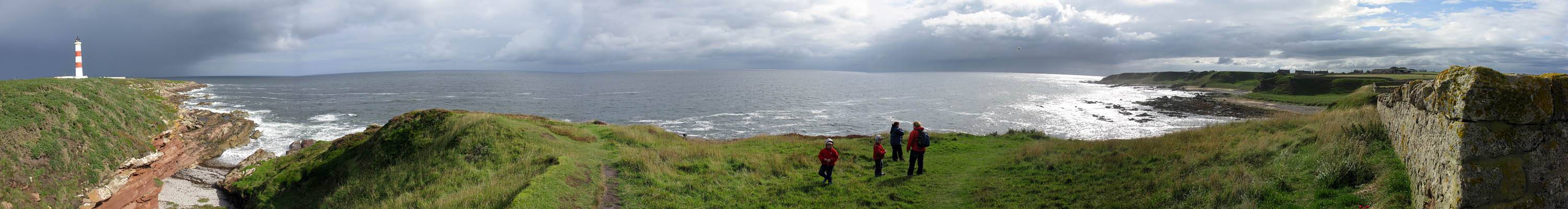 IMG_3663_3668_Panorama.jpg |
 IMG_3669.jpg |
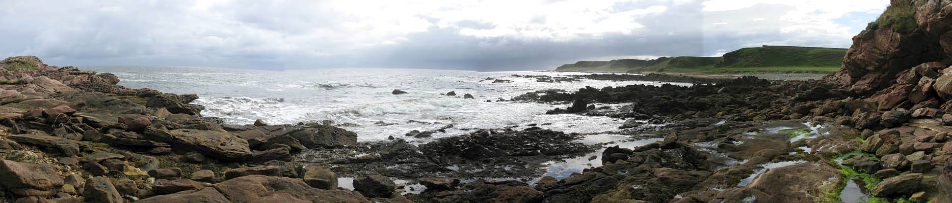 IMG_3672_3675_Panorama.jpg |
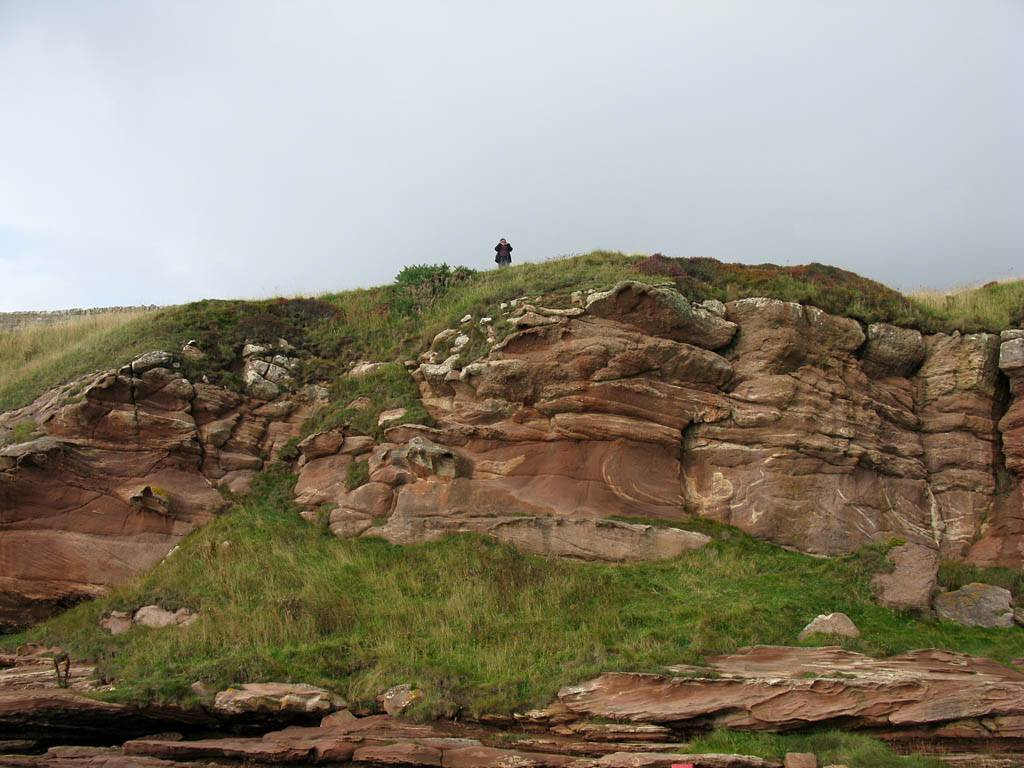
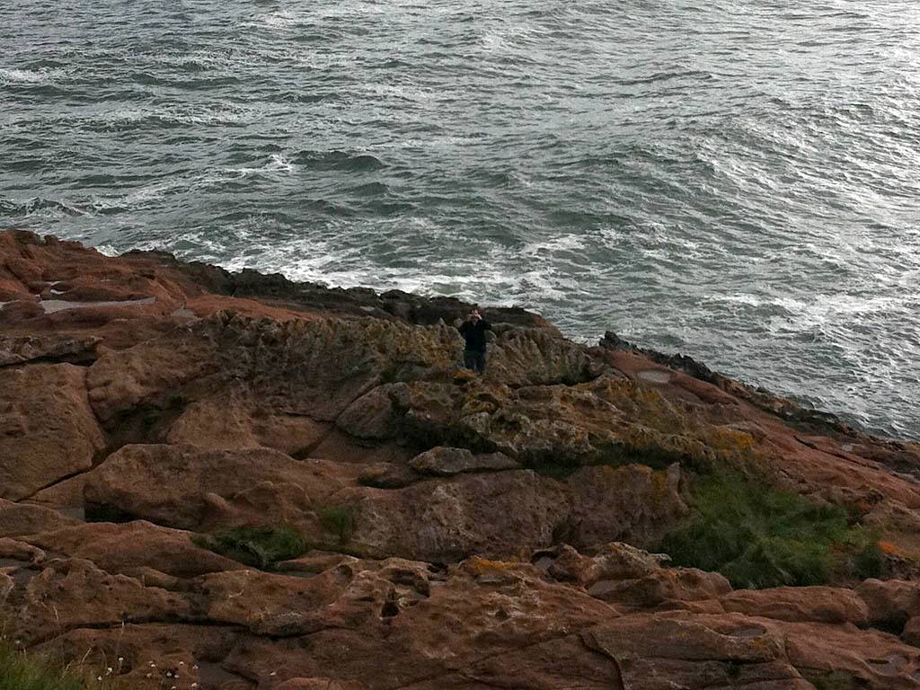
| Renée on Portmahomack beach. | Panorama taken near the car park at Wilkhaven. Much rockier than Portmahomack... | Looking down at the rocks with the houses of Wilkhaven visible beyond. | Below the cliff the rocks certainly give the coast a wild look. |
 IMG_3671.jpg |
 IMG_3676.jpg |
 IMG_3677.jpg |
 IMG_3678.jpg |
 IMG_3679.jpg |
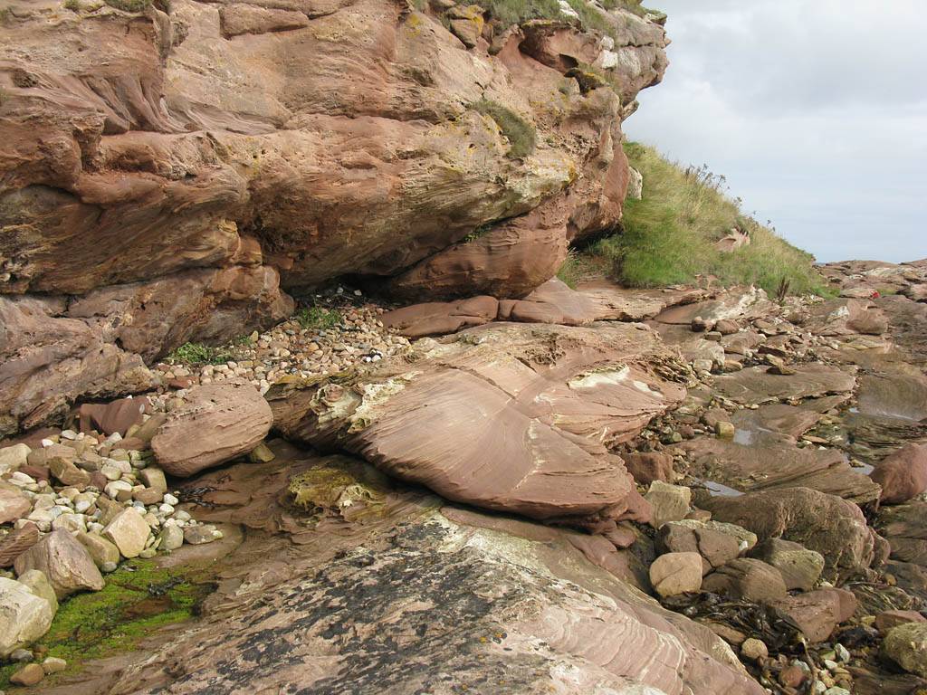
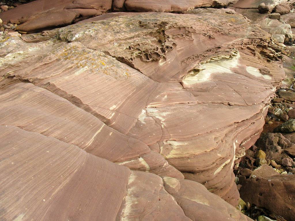
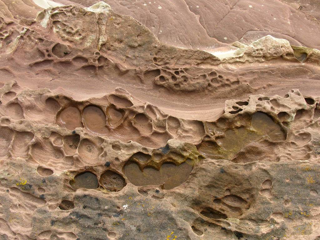
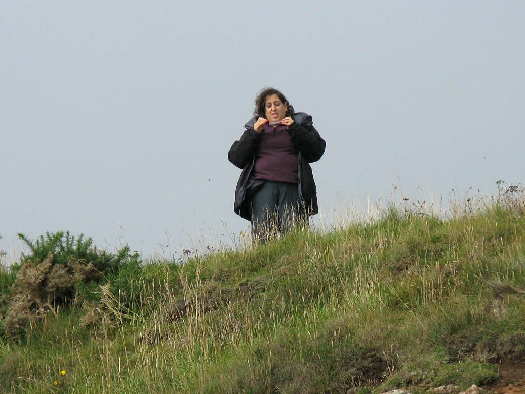
| The rocks under the cliff were sculpted and shaped into interesting patterns by erosion. | Renée up on top of the cliff taking pictures of Mike with the iPhone! | |||
 IMG_3681.jpg |
 IMG_3682.jpg |
 IMG_1330.jpg |
 IMG_1332.jpg |
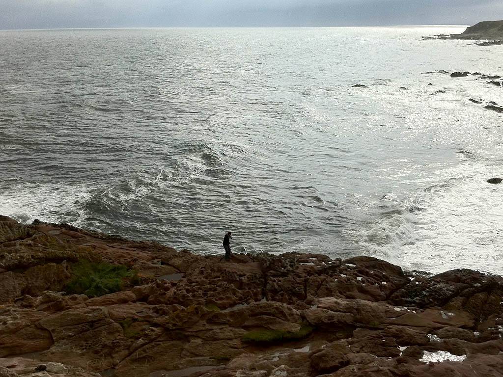
| Watching the waves roll in over the rocks as it started to rain. | The pictures of Mike that Renée took on the iPhone. | ||
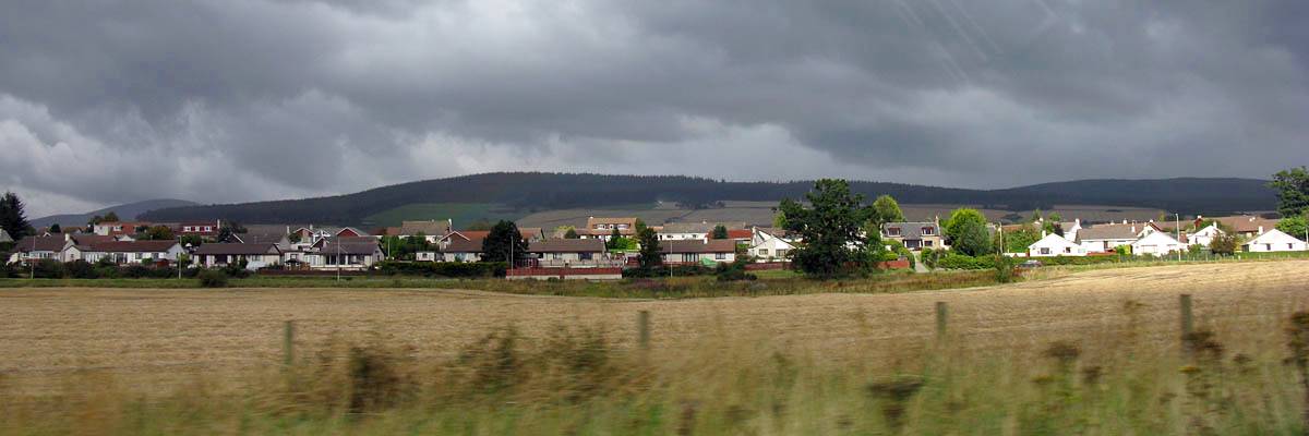
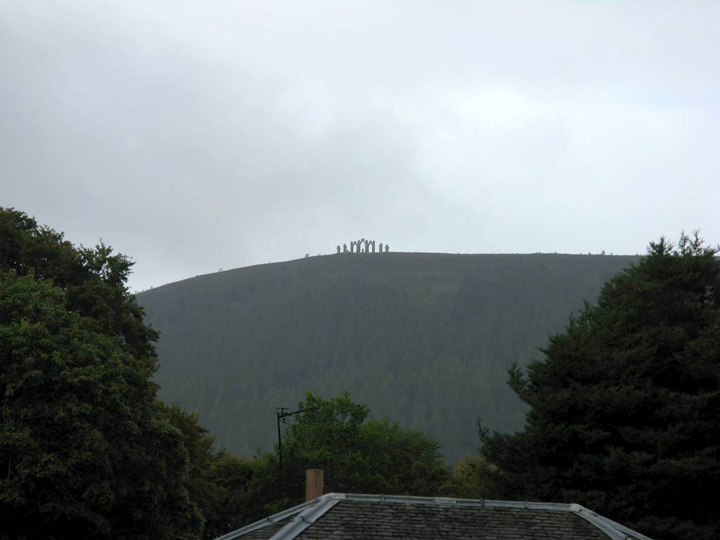
Then we drove to Tain via a back road and then up the A9 over the Dornoch Firth bridge. Then we went left up the A949 to Bonar Bridge in showery conditions. We then went over the bridge and round the A836 to the B9176 which took us up and over the hills to Evanton. As we approached Evanton, we got a great view of the Fyrish Monument on Cnoc Fyrish, a local hill.
 IMG_3693.jpg |
 IMG_3697.jpg |
 IMG_3699.jpg |
 IMG_3701.jpg |
 IMG_3716.jpg |
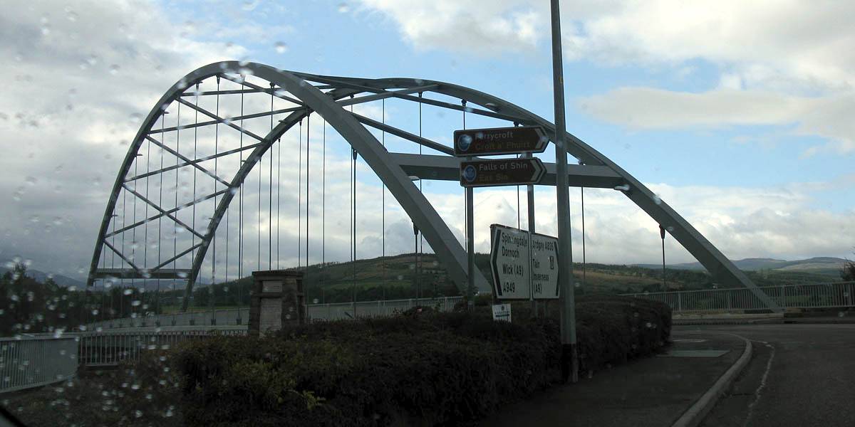
| Back on the A9 approaching the Dornoch Firth Bridge. | Crossing the Dornoch Firth Bridge. | Driving the A949 to Bonar Bridge. | Bonar Bridge. | |
 IMG_3726.jpg |
 IMG_3727.jpg |
 IMG_3730.jpg |
 IMG_3732.jpg |
 IMG_3745.jpg |
 IMG_3745_Zoom.jpg |
| Climbing away Southwards from the Dornoch Firth into the hills on the B9176. The hills of Struie tower above us in front. | A nice view back across the Dornoch Firth after passing round the Struie hills. | Driving over the high ground. | Viewing the Fyrish Monument from Fyrish Crescent near Evanton. | ||
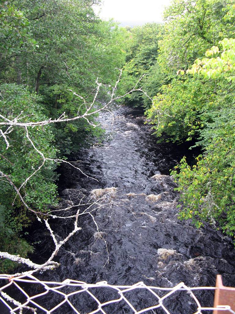
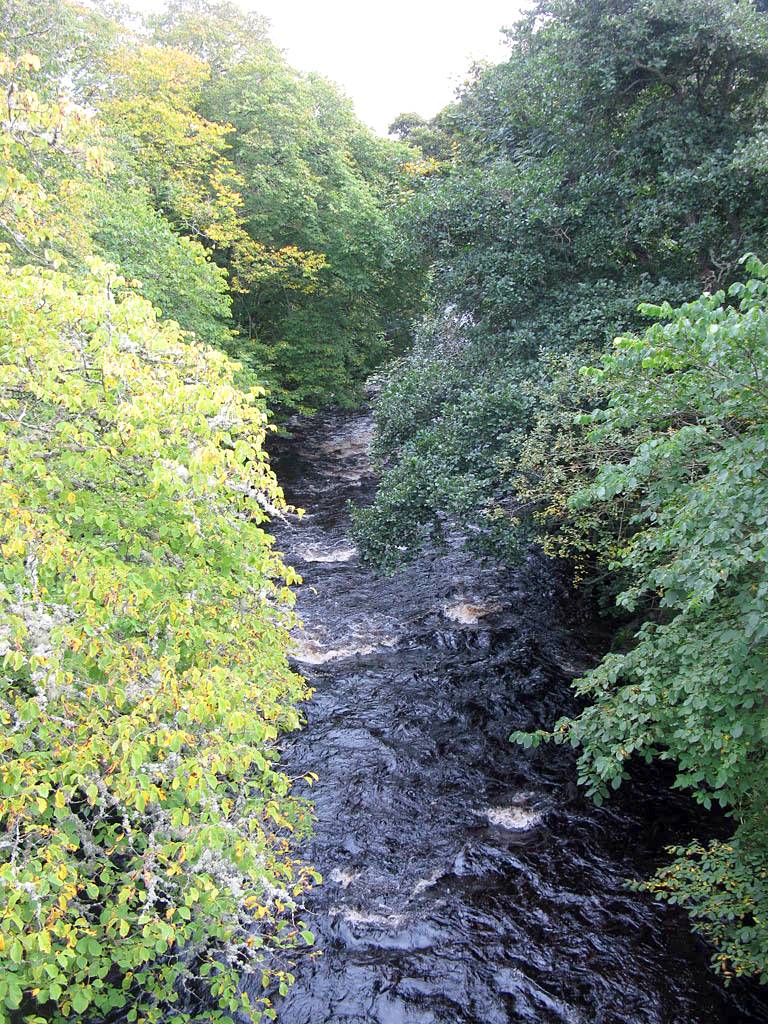
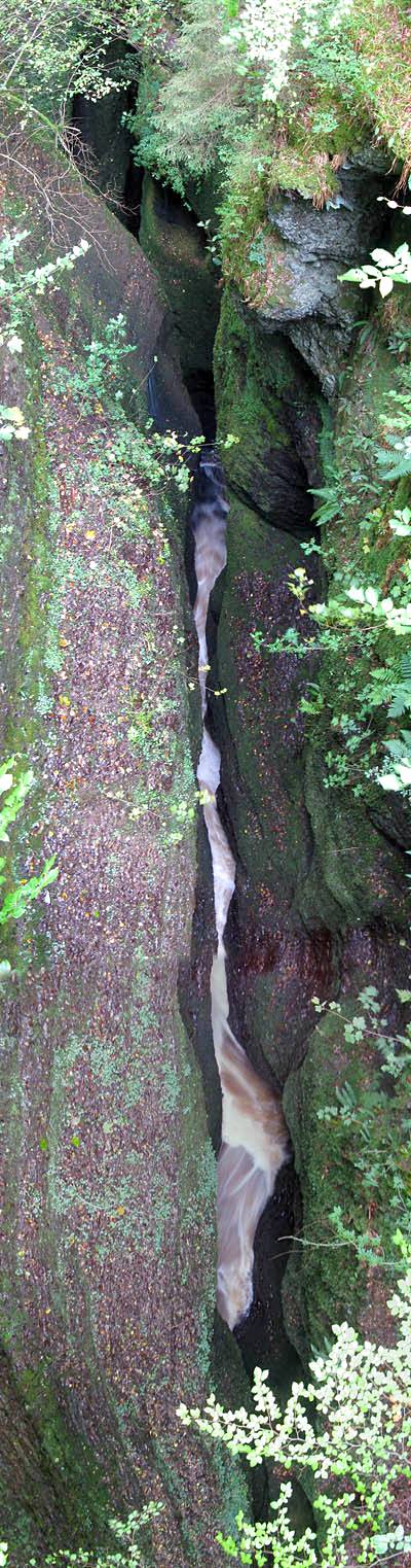
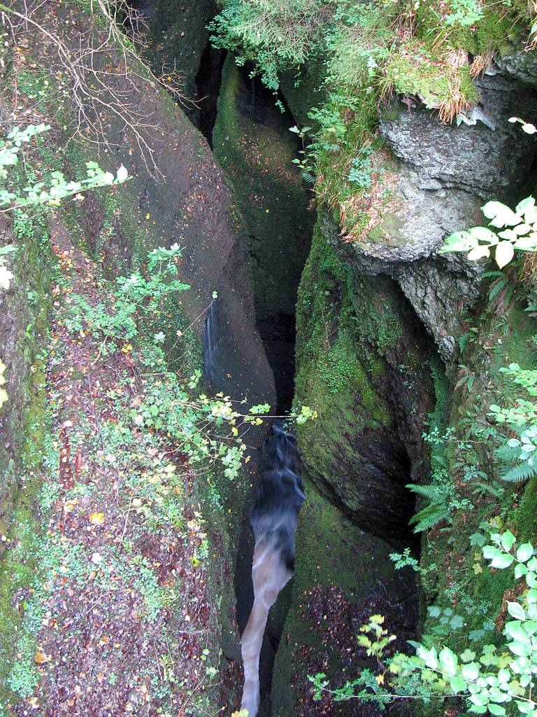
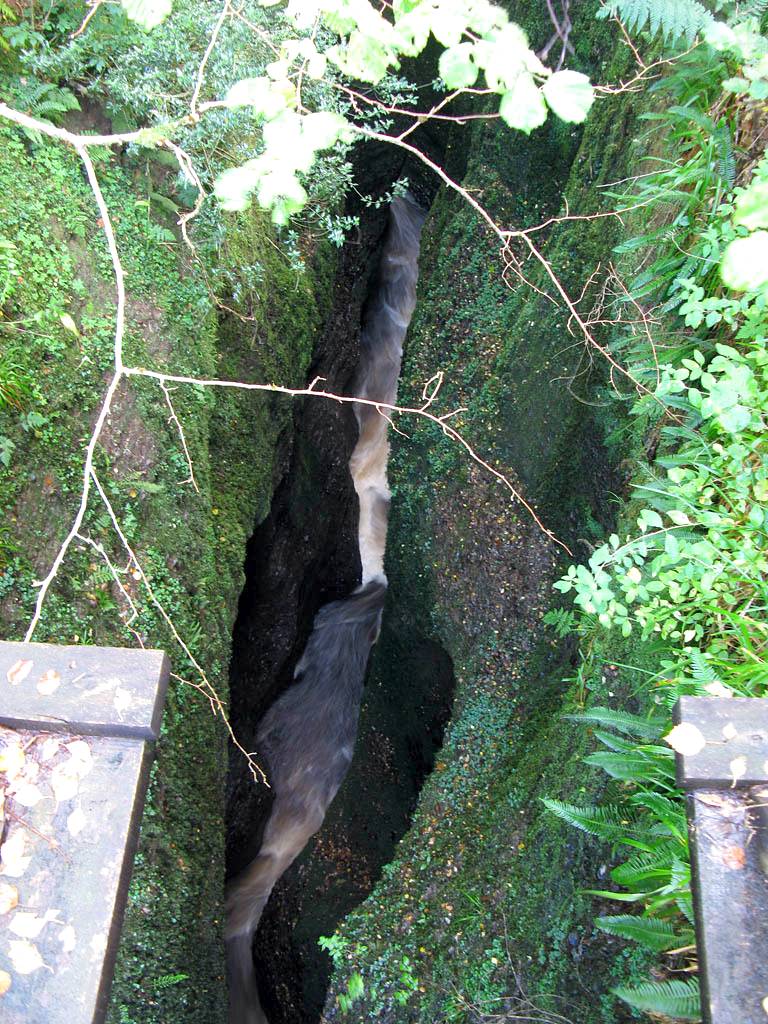
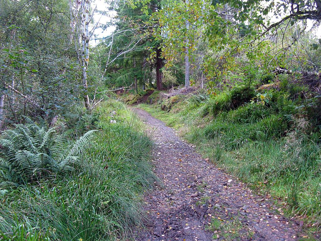
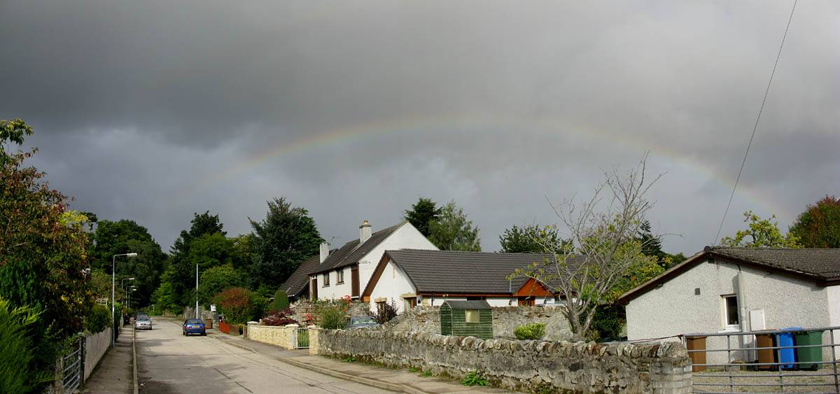
Once in Evanton we decided the showers would miss here for now so after a bit of dithering we proceeded with the Black Rock Gorge Walk. At the start of the road uphill we were greeted by 5 or 6 rabbits nibbling by the roadside before they scarpered when they saw us. The road up to the gorge was nice but a load of works spoilt it a bit and closed the riverside footpath too. However the gorge itself was nice. Very dark, narrow, deep and mysterious. The walk back on the other side was a slightly tedious and muddy trudge through the woods and at one point it wasn't clear which way to go. But we eventually emerged back at Evanton on track. As we walked along the street I noticed a rapidly evolving rainbow behind us! Uh oh! We ran for it but a heavy shower hit us with just a few metres to go.
Clips of Black Rock Gorge are compiled into a You Tube video. Click here to view the video.
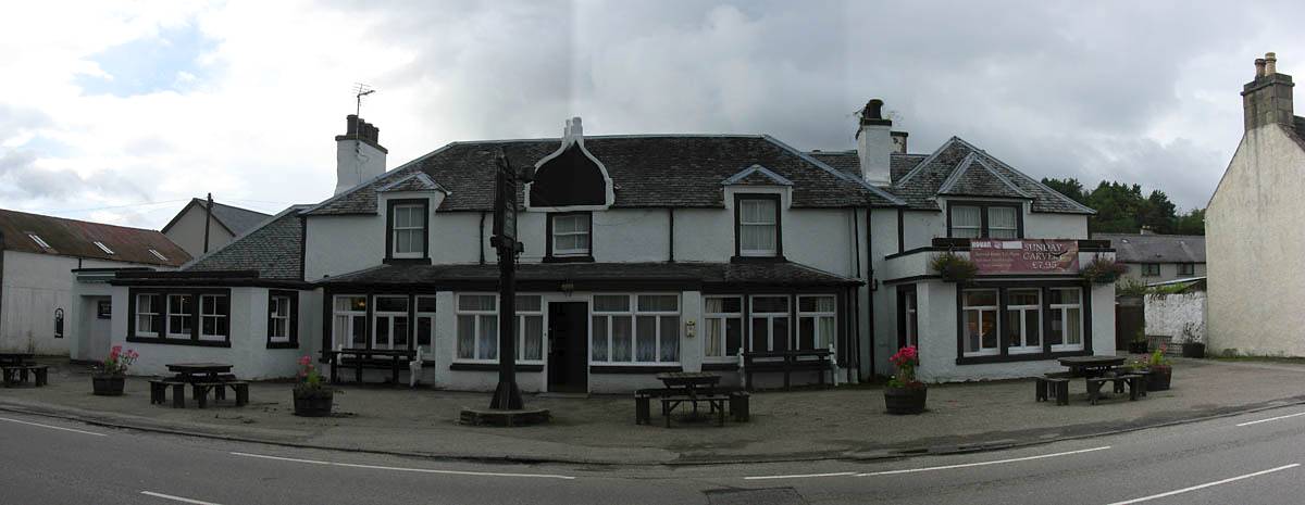 IMG_3748_3750_Panorama.jpg |
 IMG_3753.jpg |
 IMG_3754.jpg |
 IMG_3755.jpg |
 IMG_3756.jpg |
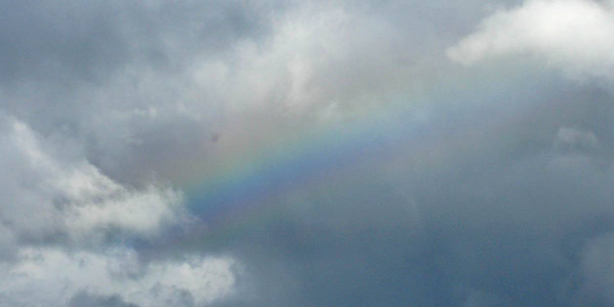 IMG_3757.jpg |
| The Novar Arms Hotel. | Looking upstream and downstream at a bridge over the Allt Graad in Evanton. No clue as to what lay ahead upstream. | Walking up above Evanton along Glenglass Road. | A faint rainbow fragment in the sky. | ||
 IMG_3763_3766_Panorama.jpg |
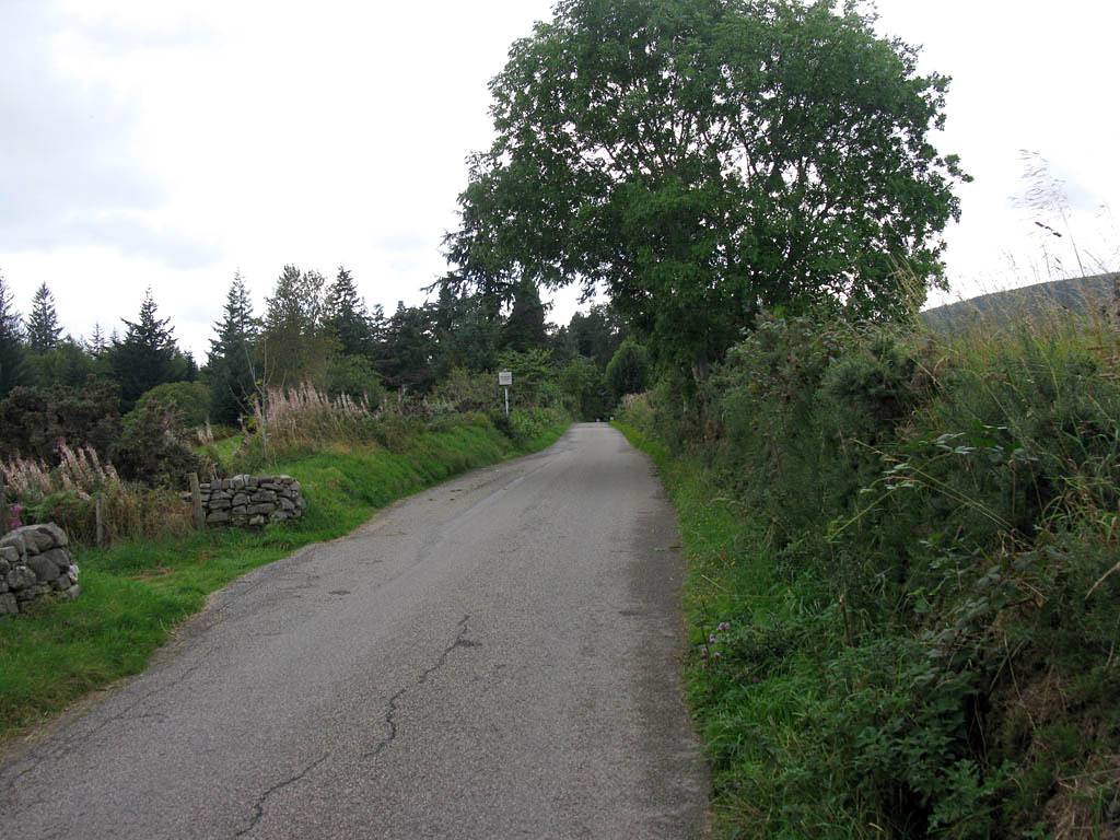
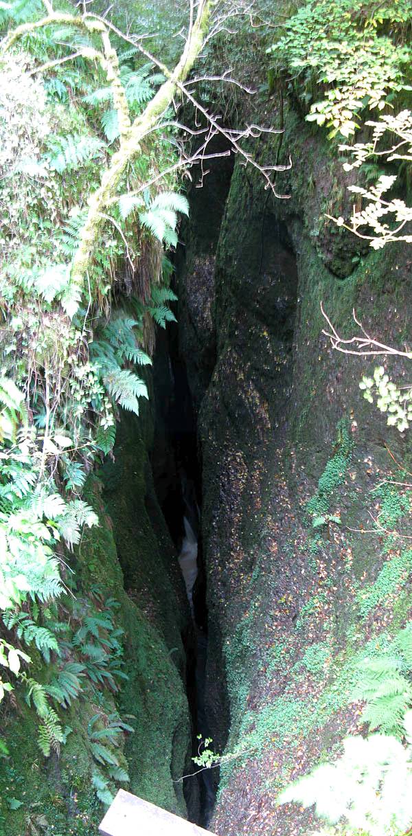
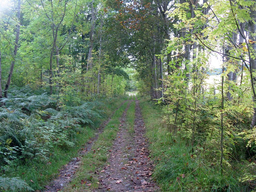 IMG_3769.jpg |
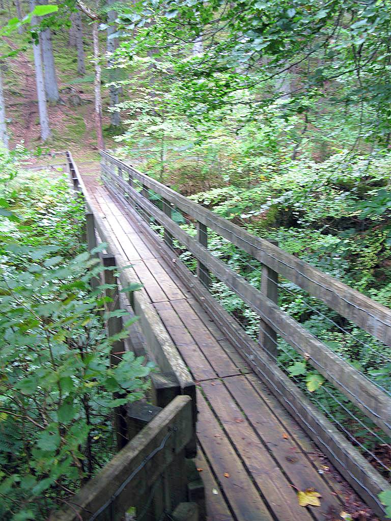 IMG_3770.jpg |
 IMG_3771_3775_Panorama.jpg |
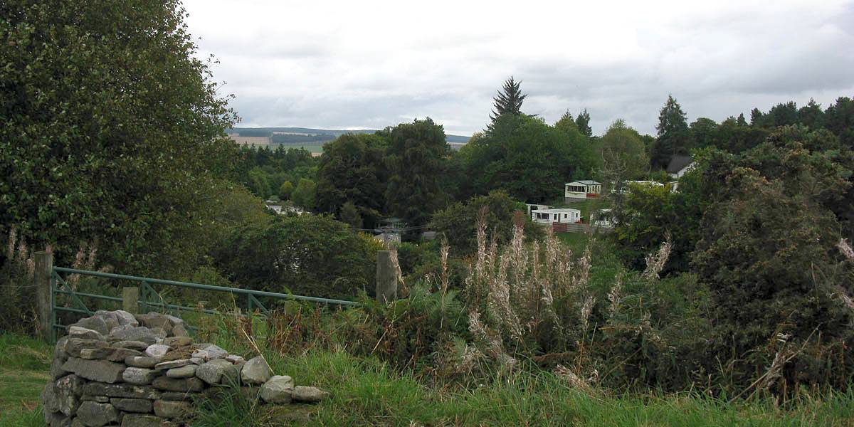
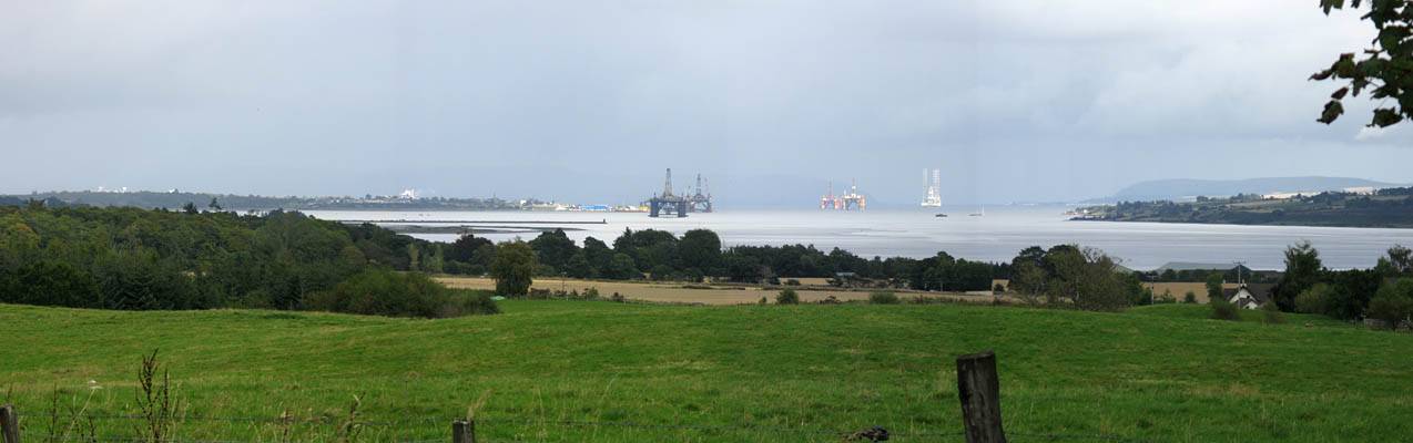
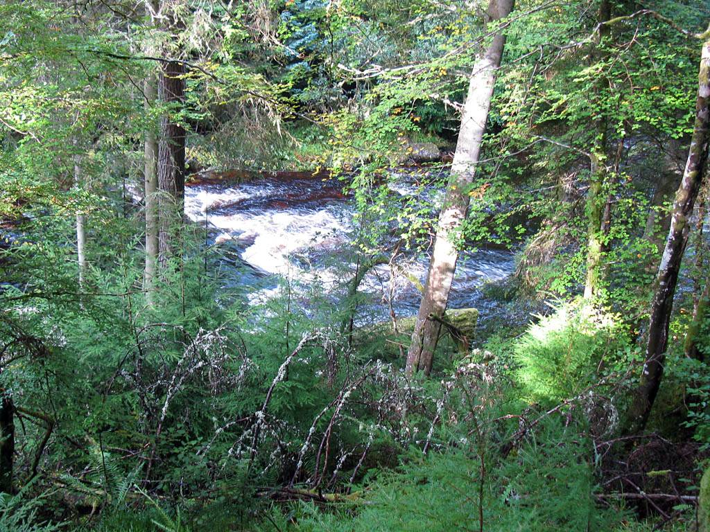
 IMG_3776.jpg |
| Looking down to the oil rigs of Cromarty Firth and the container port of Invergordon. | Entering the woods as we close in on Black Rock Gorge. | There were two bridges. This is the upstream bridge. | Looking down into the gorge (upstream and downstream) from the upstream bridge. What a mysterious place. Light levels were very poor here but Photoshop Elements did a great job in bringing out the details. | |
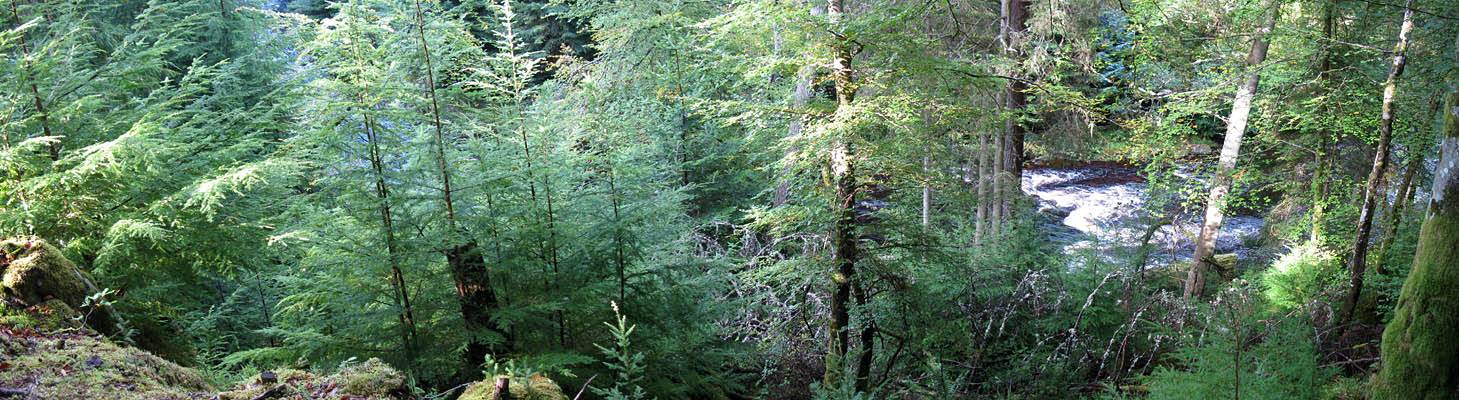
 IMG_3790_3791_Panorama.jpg |
 IMG_3794.jpg |
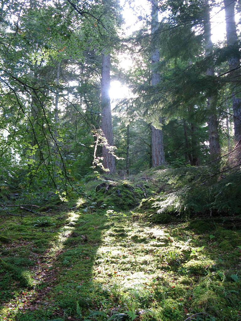
 IMG_3795.jpg |
 IMG_3801.jpg |
| Looking down into the gorge (upstream and downstream) from the downstream bridge. | Walking the slightly muddy woodland path back along the West side of the river. | The sun shining through a gap in the trees generating some nice shadows. | |
 IMG_3802.jpg |
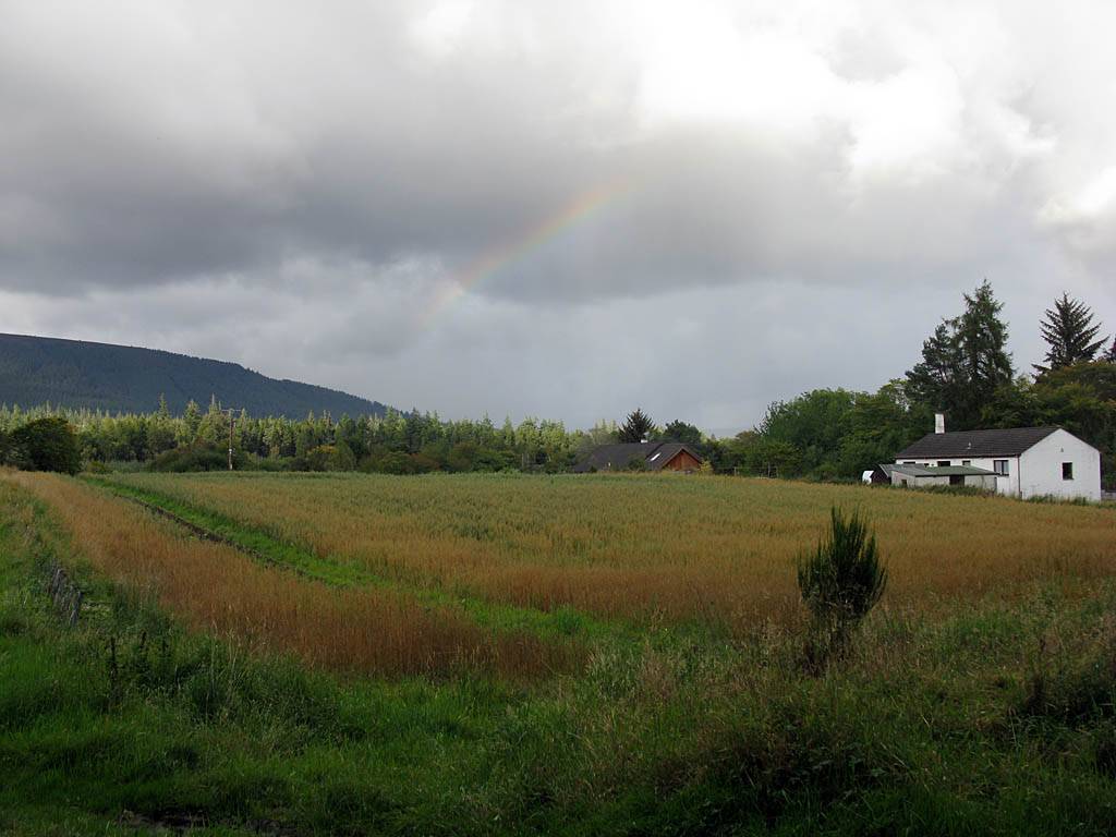
 IMG_3807_3809_Panorama.jpg |
 IMG_3812.jpg |
 IMG_3816_3817_Panorama.jpg |
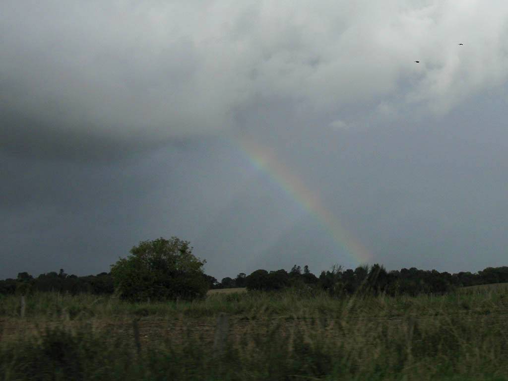
| Looking down at the Allt Graad River from a vantage point not far outside Evanton. | Rainbow fragment over a field as we exit the woods and return to Evanton. | The expanding rainbow over Evanton just before a heavy shower arrives. | |
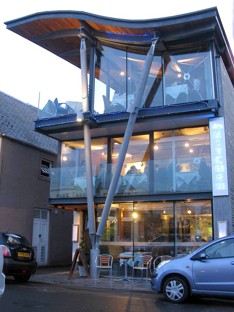
Only a little damp, we scarpered straight back to Inverness at about 4:30pm. We were back before 5pm. There were some very heavy showers en route. We dried off quickly with the aircon / dehumidifier running. Back in Inverness we rested in the BnB as well as planned tomorrow until about 6:15pm. (I was thinking of driving down the East side of Loch Ness to Foyers then loop back towards the A9 half way to Aviemore.) Then at 6:30pm we had an early bird reservation at the Kitchen restaurant round the corner. A nice posh meal albeit rather small portions.
 IMG_3819.jpg |
 IMG_3821.jpg |
 IMG_3826.jpg |
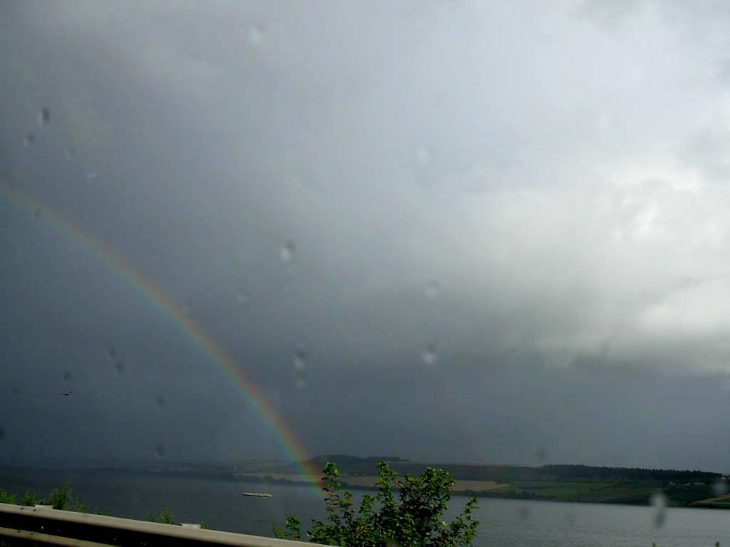
| Driving Westwards along Balconie Street out of Evanton to the A9 in heavy rain. | Very bright double rainbow touching down in the Cromarty Firth as we cross over the bridge. | As we leave the Cromarty Firth behind the rainbow fades a bit but also gets dissected by several crepuscular rays. |
 IMG_3830_3833_Panorama.jpg |
 IMG_3835.jpg |
 IMG_3840.jpg |
 IMG_3844.jpg |
 IMG_3846.jpg |
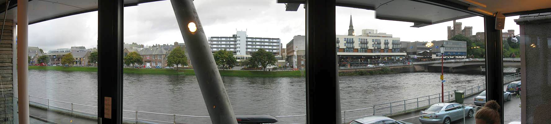
| The view from the first floor of The Kitchen restaurant. | Mike and Renée waiting to order food. | When we exited the restaurant it was getting dark. The B861 bridge and the front of The Kitch restaurant were now lit up. I rested the camera on a railing to reduce camera shake for slow exposures. | ||
Then once finished back to the BnB to retire for the night. Alarm set for 8:30am.
Click here to return to the Scotland 2011 Index Page.
Click here to go back to Scotland 2011 Day 5.
Click here to go forward to Scotland 2011 Day 7.