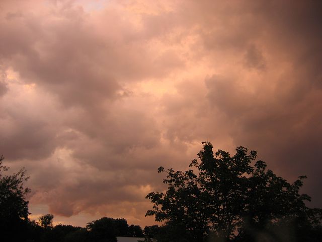
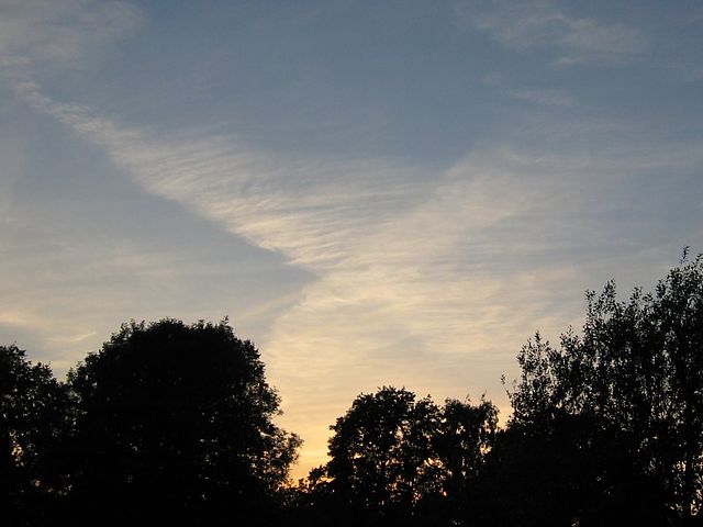
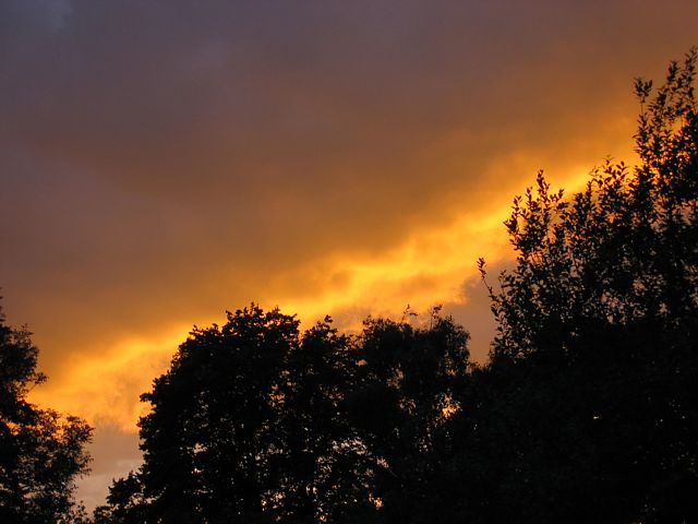
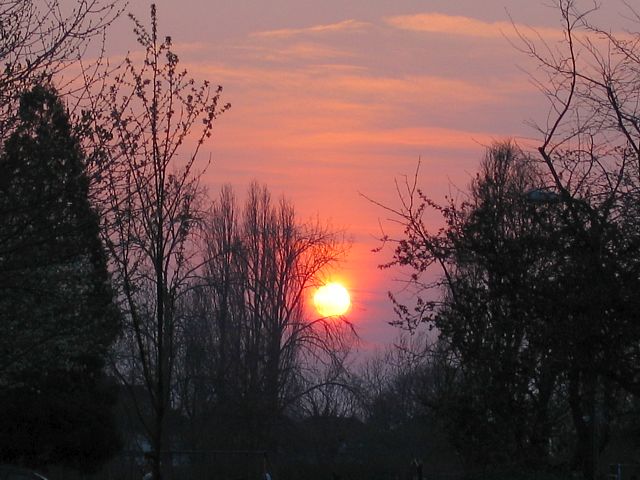
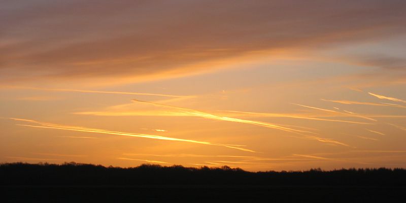
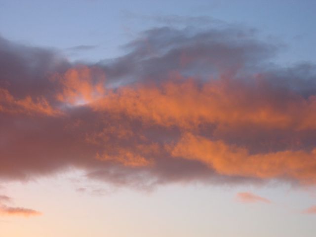
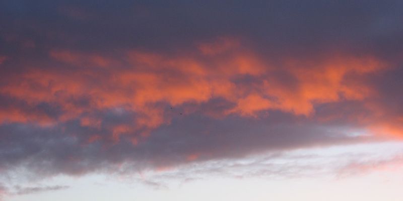
Sunset1.jpg

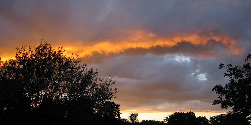
Sunset2.jpg
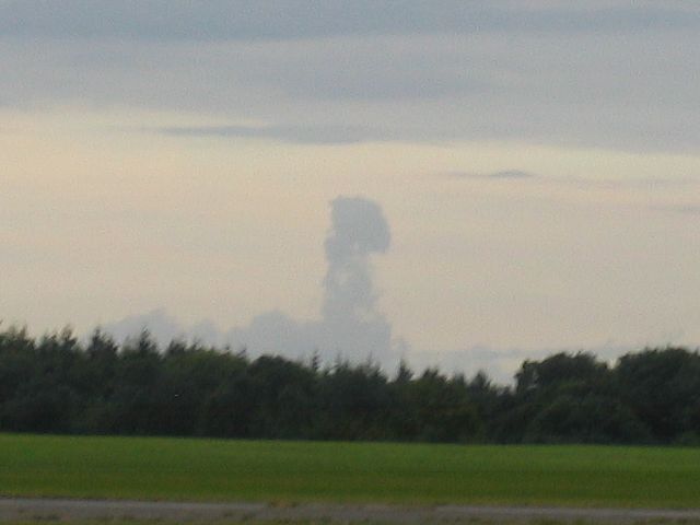
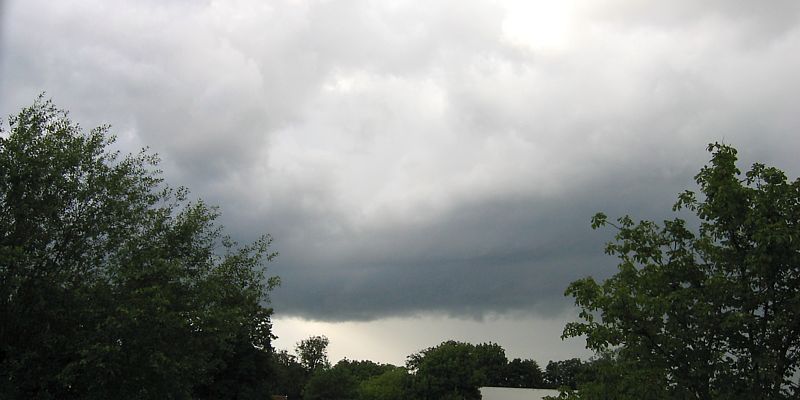
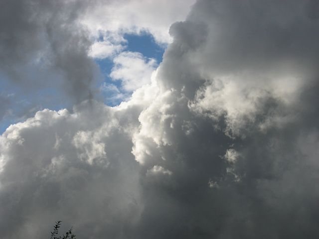
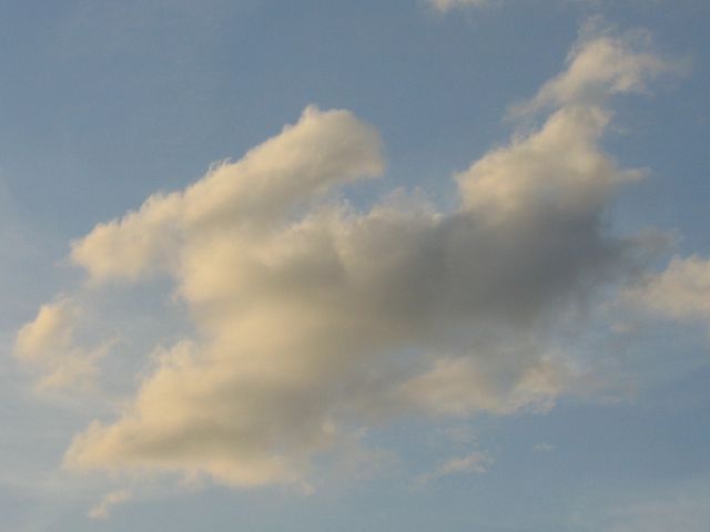
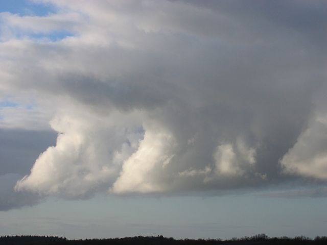
DistantCloudTower.jpg
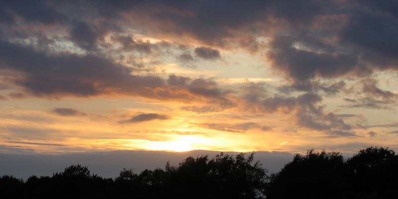
Sunset.jpg
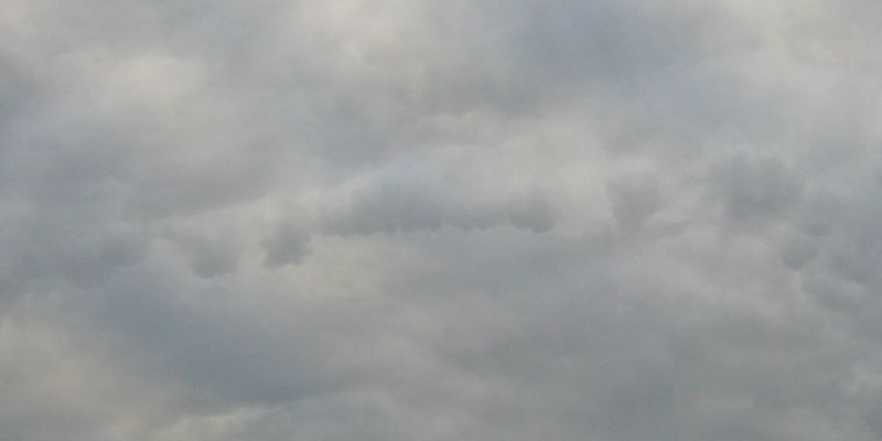
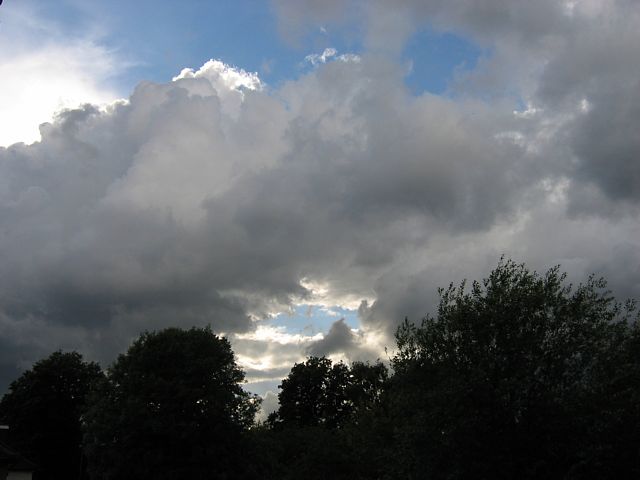
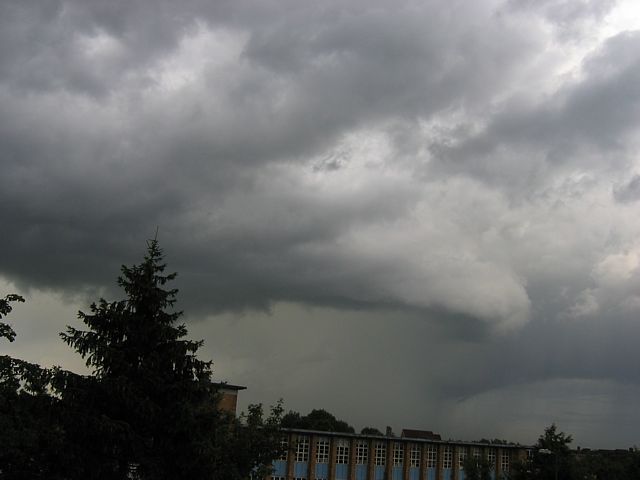
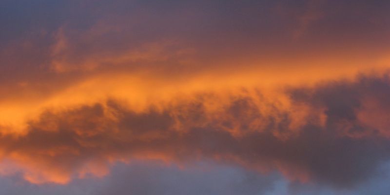
Mammatus.jpg
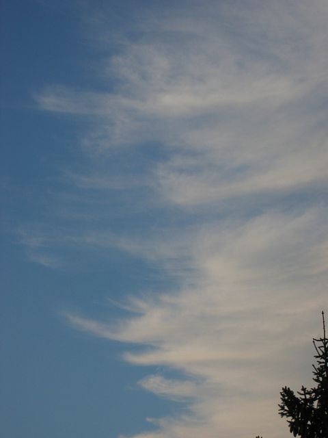
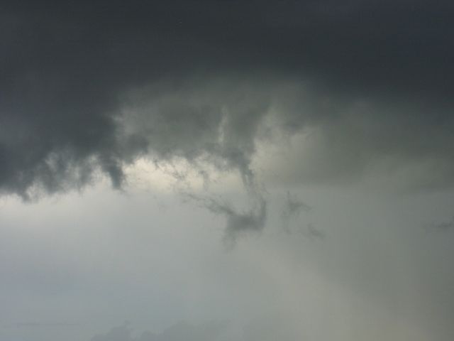
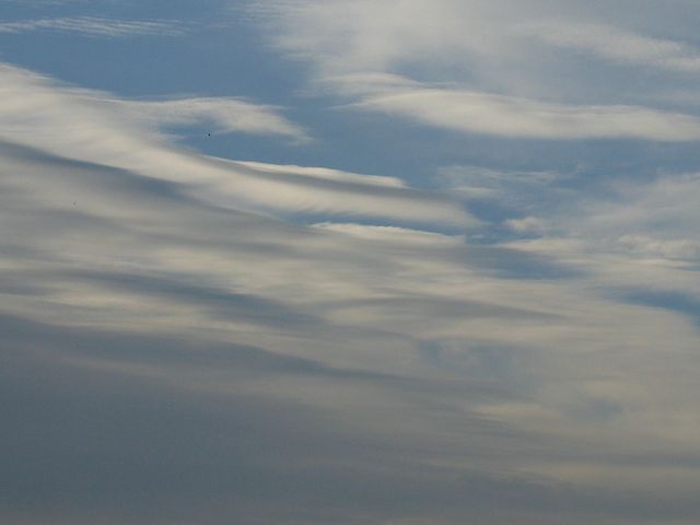
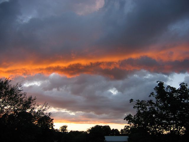
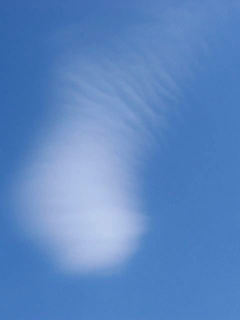
Cirrus.jpg

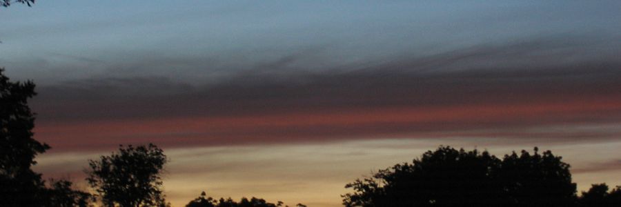
Sunset.jpg
Click here to return to the main Pictures index.
Click here to go to the 2008 images.
Click here to go to the 2006 images.
More pictures of clouds, some taken from at or above cloudbase, can be found in the Gliding 2007 Pictures page.
|
Sunset1.jpg |
Sunset2.jpg |
DistantCloudTower.jpg |
Sunset.jpg |
Mammatus.jpg |
Cirrus.jpg |
Sunset.jpg |
| Freaky colours at sunset. This is for real honest! | Distant cumulus tower close to sunset. | Another sunset. | What looks like a line of mammatus hanging down from a patch of severe spreadout. | The frilly back end of a clearing weather front. | Top cover being lit in red at sunset highlighting a build cumulus cloud below. | |
 PassingStorm1.jpg |
 TheGap.jpg |
 HighCloudtops1.jpg |
 TheGapZoomout.jpg |
 HighCloudtops2.jpg |
 PassingStorm2.jpg |
| Passing thunderstorm. | A gap in the clouds. | Silhouetted cloud tops. | A zoomout of the gap. This cloud is much bigger than it looks in the pic. | some huge clouds passing by now. | It's getting dark early! |
 HighCloudtops3.jpg |
 PassingStorm3.jpg |
 LowCloud.jpg |
 PassingStorm4.jpg |
 PassingStorm5.jpg |
| More huge and dramatic cloudshots as the storm passes. The storm appeared to have some rotation so I was keeping an eye on the low bits for any funnel formation. | As the storm clears East over the next hour the eye candy continues. | |||
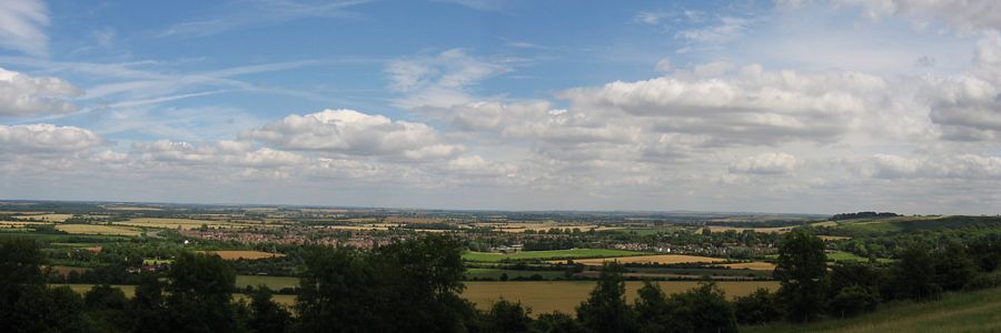 CumulusPanorama.jpg |
 CloudStreet.jpg |
 Waves1.jpg |
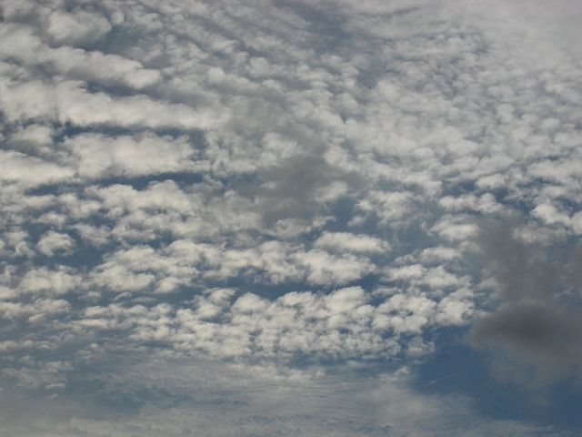 Altocumulus.jpg |
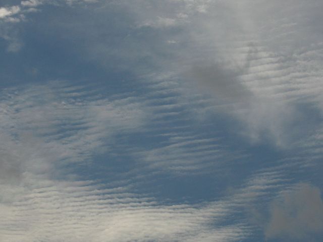
 Waves2.jpg |
| 2 shot panorama from Sharpenhoe Clappers looking roughly East. | Huge cloud street with minor spreadout. | Ripples in a disintegrating altostratus layer. | Other parts of the layer form a mackerel sky. | More wavey effects in the cloud layer to the far north. |
 Waves3.jpg |
 Waves4.jpg |
 Waves5.jpg |
 Waves6.jpg |
| Wider spaced wave clouds combined with a top layer, crepuscular rays and even a bit of iridescence to form some breathtaking cloudscapes an hour before sunset. | |||
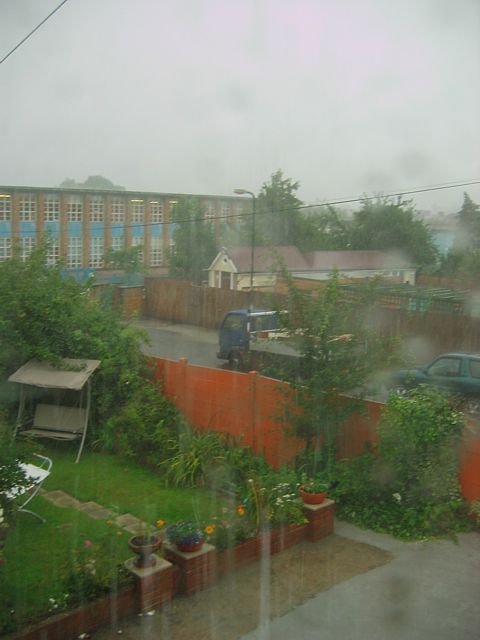
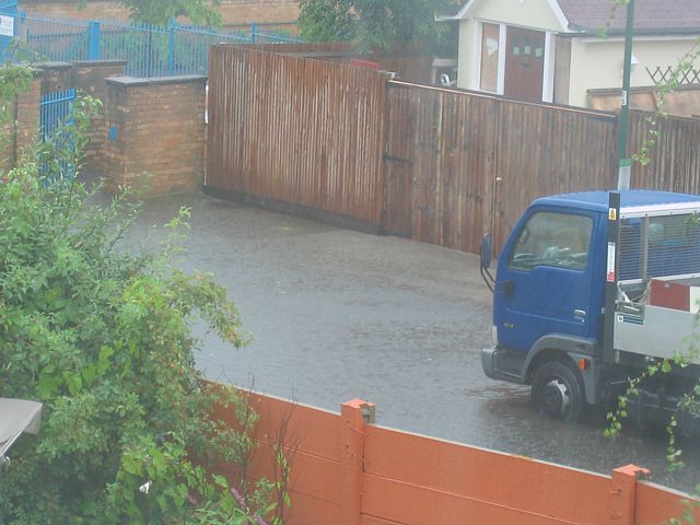 Flood.jpg |
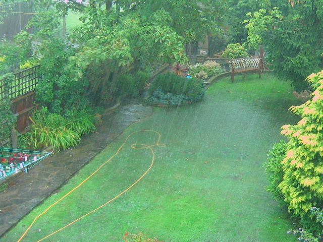
 HeavyRain1.jpg |
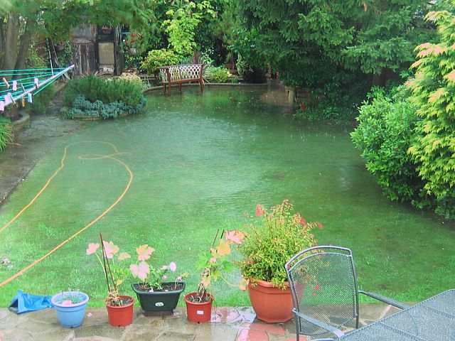
 HeavyRain2.jpg |
 GardenFlood1.jpg |
 GardenFlood2.jpg |
 SunsetX.jpg |
| Half an hour of very heavy rain brought flash flooding to the area. | The aftermath. Almost the entire lawn submerged. Quite deep towards the pine tree. | A big X formed by two cirrus contrails at sunset. | |||
 CumulusDusk.jpg |
 CirrusAfterSunset.jpg |
 Cumulus.jpg |
 ToweringCumulus.jpg |
 Cumuloface.jpg |
| Cumulus on the horizon at dusk. | Cirrus after sunset. | Frog shaped cumulus cloud. | Rapidly building towering cumulus with pileus on top. | A 'face' sticking out the top of a large cumulus cloud. |
 Sunset1.jpg |
 Sunset2.jpg |
 Sunset3.jpg |
 Sunset4.jpg |
 Sunset5.jpg |
| 5 shots of a spectacular sunset, where the bottom of a large cumulus got lit up like a big red ribbon. Other clouds nearby also got lit up well, revealing details of their structure not normally visible. | ||||
 Lenticular1.jpg |
 Lenticular2.jpg |
 Sunset.jpg |
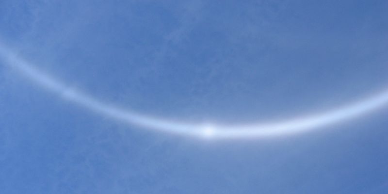
 22DegreeHalo.jpg |
| Lenticular-like clouds over Barnhill. One with a distrail-like feature. | Sunset over Kenton. | 22 degree halo seen around noon at Bison Hill. | |
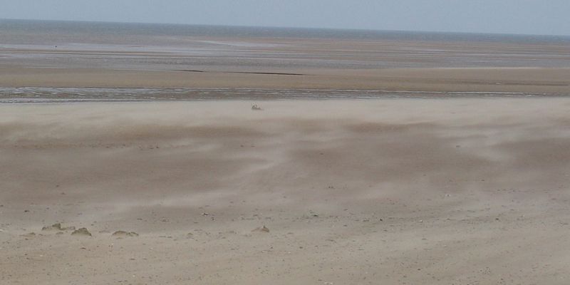
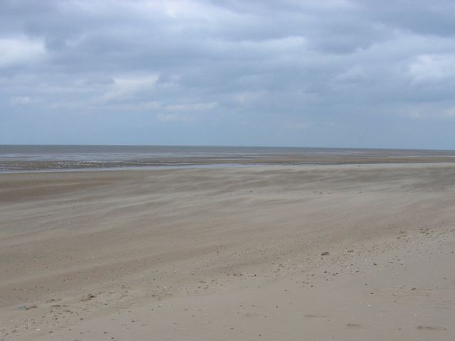 WindblownSand1.jpg |
 WindblownSand2.jpg |
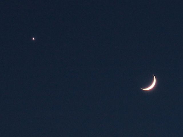 MoonVenus.jpg |
 Cumulus1.jpg |
 Cumulus2.jpg |
| Windblown sand and semi-overcast sky at Holme Dunes NNR, Norfolk. | Moon and Venus close encounter. | Cumulus clouds late in the day. Looks like a cloud boxing match, and then the right hand cloud rears up into a serpent and vaporises the left cloud. | ||
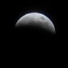
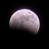 LunarEclipse1.jpg |
 LunarEclipse2.jpg |
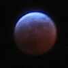 LunarEclipse3.jpg |
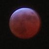 LunarEclipseTotal.jpg |
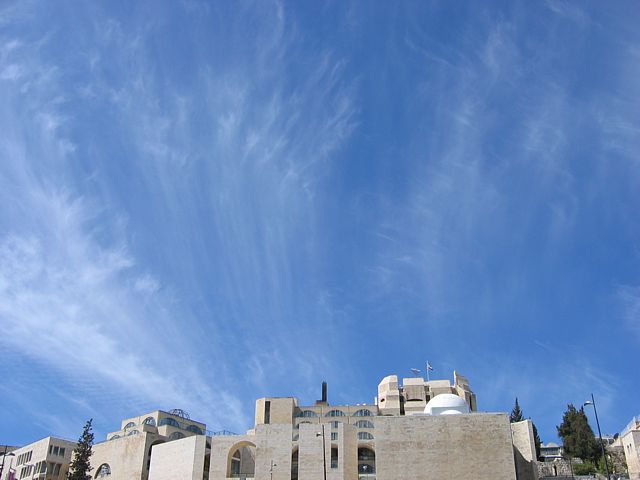 Cirrus.jpg |
| 4 shots of a total lunar eclipse. Thumbnails are full size. Last shot was a 10 second exposure. | Looking West from Southwest Corner of Temple Mount, Jerusalem. Lots of fibrous cirrus. | |||
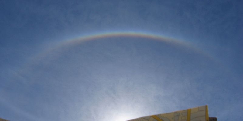 22degreeRainbow.jpg |
 120degreeParhelia.jpg |
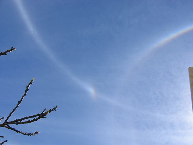 22degree_ParehlicCircle_Sundog_L.jpg |
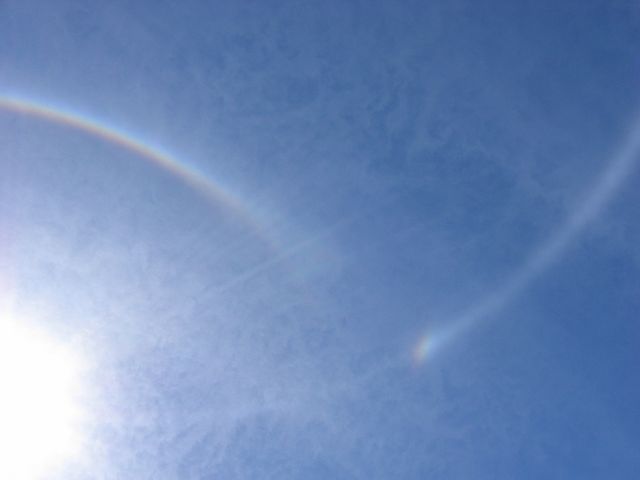 22degree_ParehlicCircle_Sundog_R.jpg |
 22degreeRainbowZoom.jpg |
| 22 degree halo and circumscribed halo around the sun and a complete parhelic circle with 120 degree parhelia over Jerusalem, Israel. | ||||
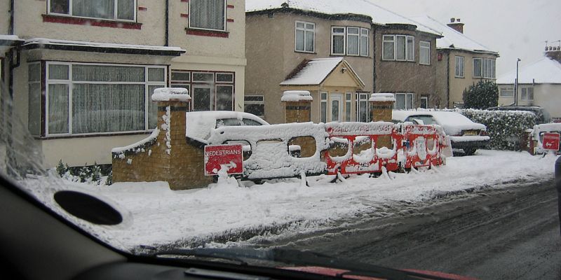
 KentonSnow1.jpg |
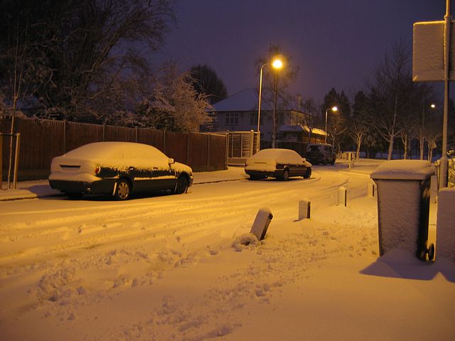 KentonSnow2.jpg |
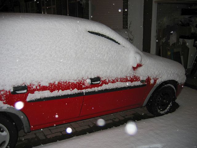 SnowCar.jpg |
 SnowFlakes.jpg |
 SnowyCommute.jpg |
| Snow in Kenton early in the morning. It was coming down heavily with 5cm on the ground. | Falling Snowflakes lit up by camera flash. | A very slow and snowy drive to work. | ||
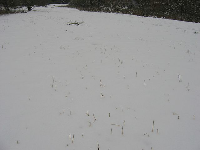
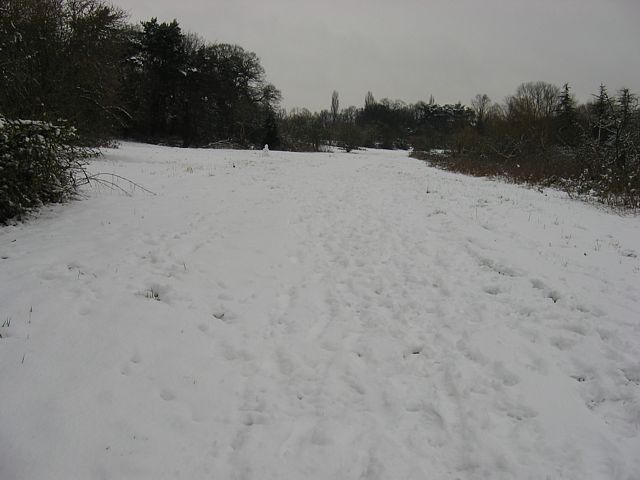 SnowField1.jpg |
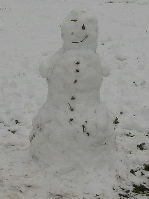 MiniSnowman.jpg |
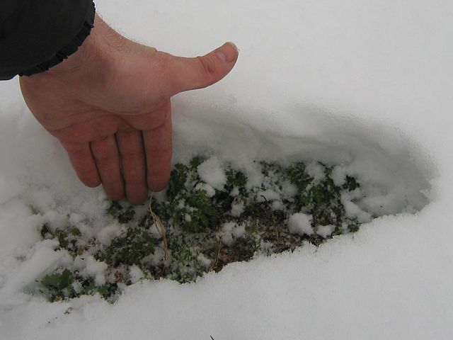
 SnowField2.jpg |
 SnowDepth.jpg |
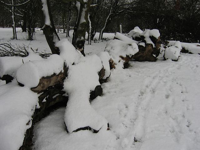 SnowLogs1.jpg |
 GiantSnowBall.jpg |
| Trudging through ankle deep snow in a field at lunchtime. Plus a zoom in on a mini snowman in the vicinity. | Undisturbed patch of snow covering all but the tallest of grass stalks. | Measuring snow depth. Here it was more than 10cm. | Snow covered logs. | The kid in me takes over for a moment. Rolled a large snowball. | |
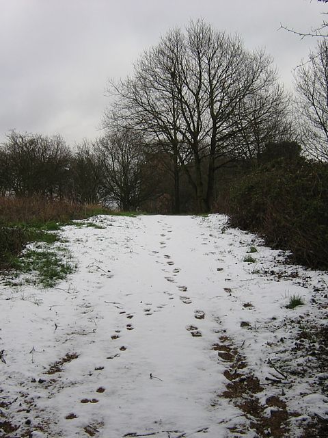
 SnowTrunk.jpg |
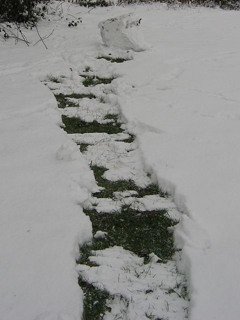
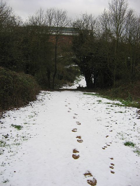
 SnowPath.jpg |
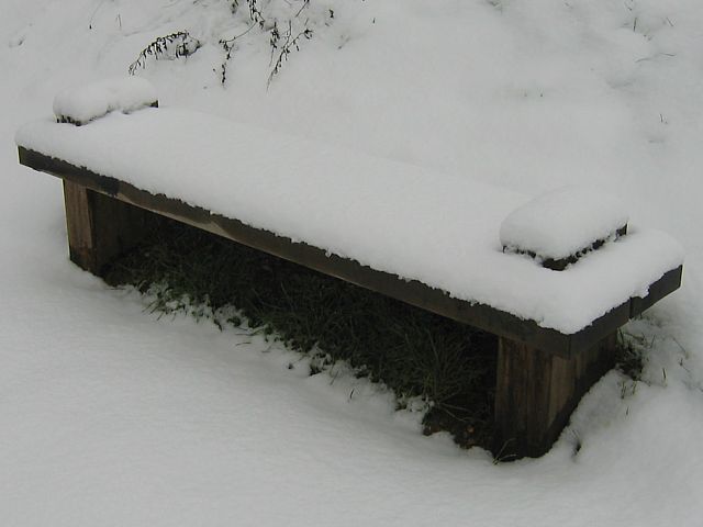 SnowBench.jpg |
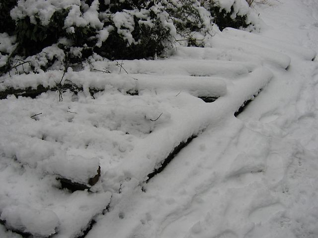 SnowLogs2.jpg |
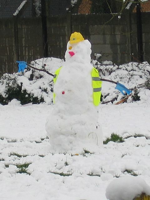 LargeSnowman.jpg |
| Snow plastering the trunks of trees. | The same path as on 24th January. | Snow covered bench. | More snow covered logs. | Huge snowman spotted in the garden of a nearby nursery. |
 Sunrise.jpg |
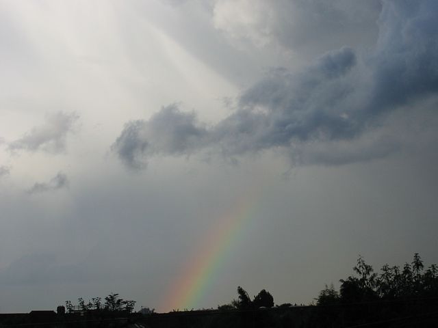
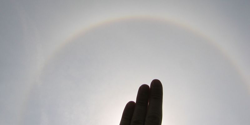
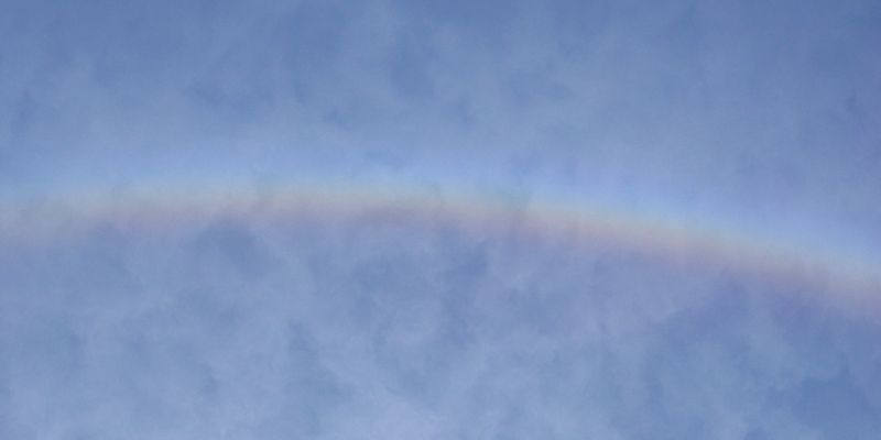
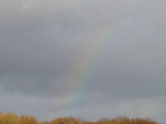 FaintRainbow.jpg |
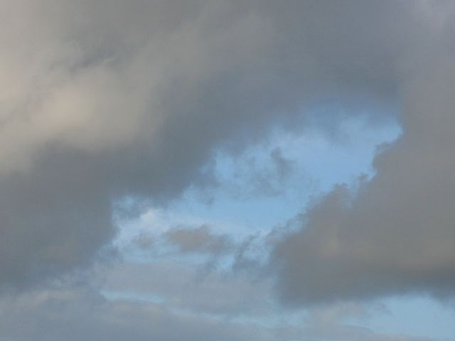 CloudGap.jpg |
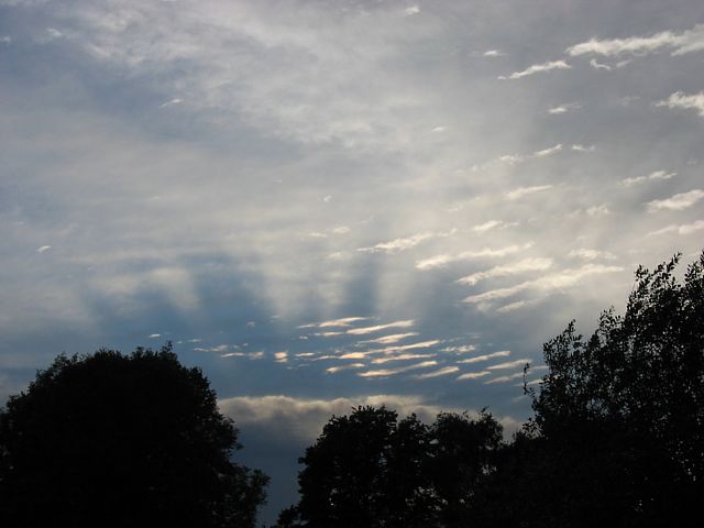
 Crepuscular1.jpg |
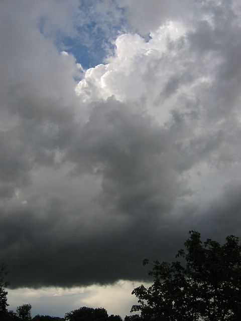
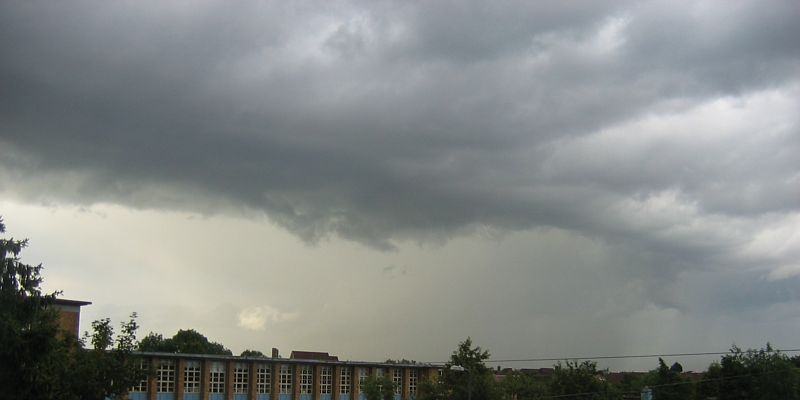
 Spreadout.jpg |
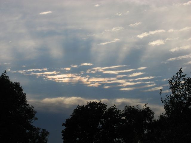
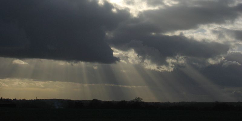 Crepuscular2.jpg |
| Sunrise. | Faint rainbow. | Gap in some large cumulus clouds. | Crepuscular rays. | Spreadout. | More crepuscular rays. |
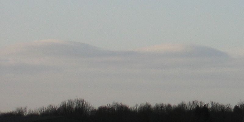 DistantWaveBars.jpg |
 Crepuscular3.jpg |
 Sunset1.jpg |
 Sunset2.jpg |
 Sunset3.jpg |
| Distant wave bars to the Northwest. | More crepuscular rays. | Sunset. | ||
 Snow1.jpg |
 Snow2.jpg |
 TeddingtonLockCumulus.jpg |
| Thin covering of snow on a path in Greenford. | Streamers of thin low wispy cumulus over Teddington Lock. | |