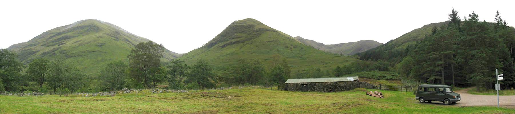
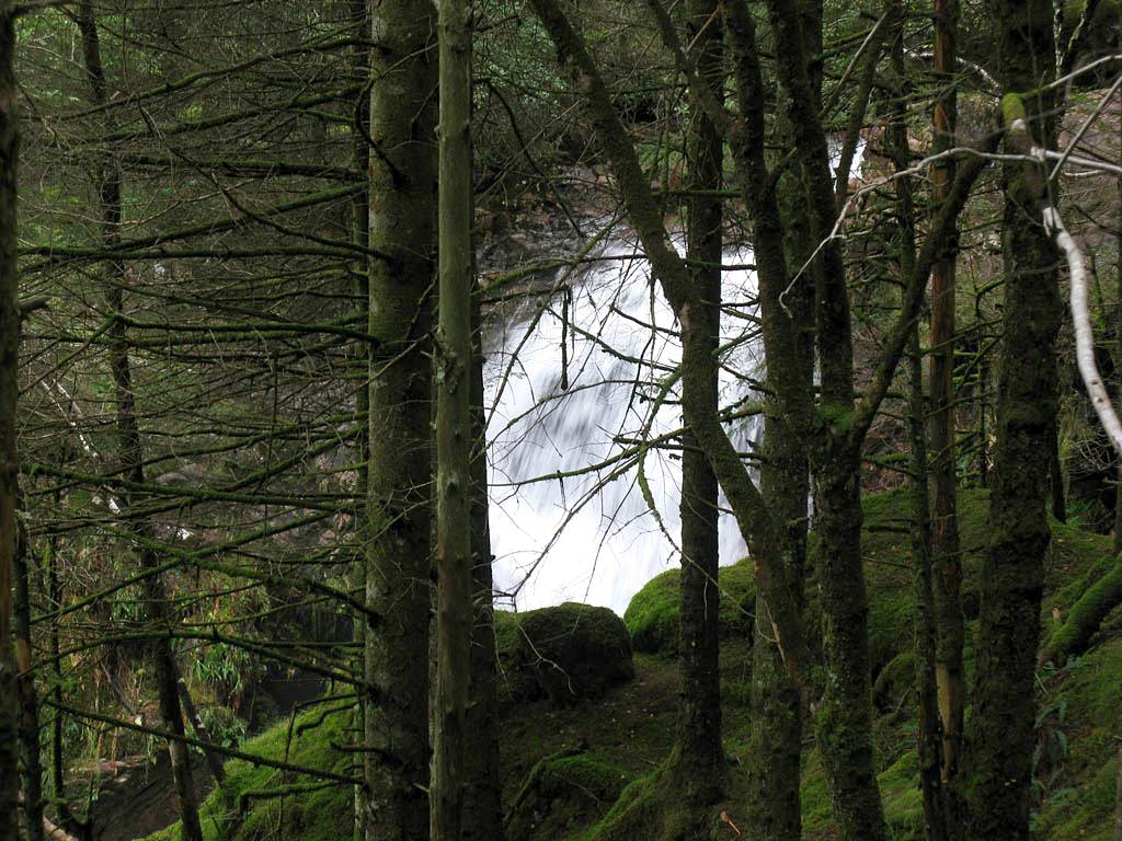
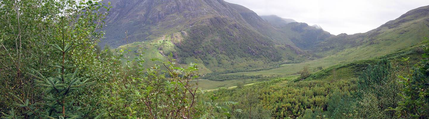
IMG_2182.jpg
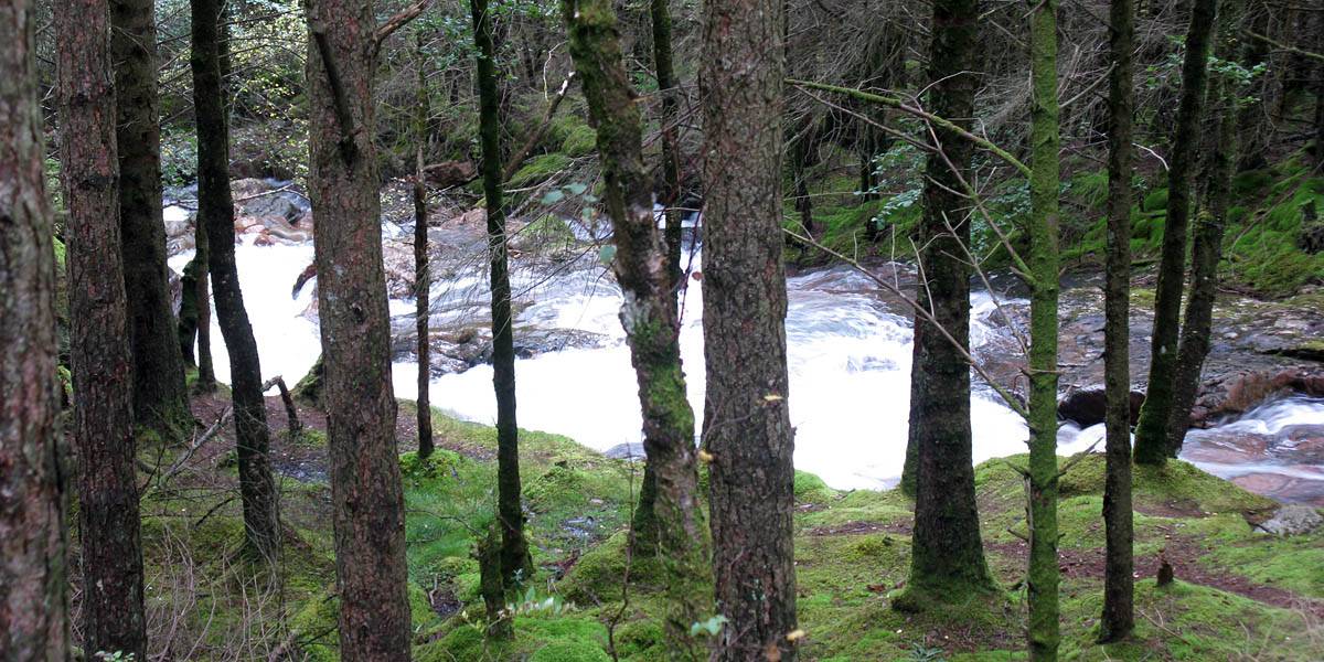
IMG_2185.jpg
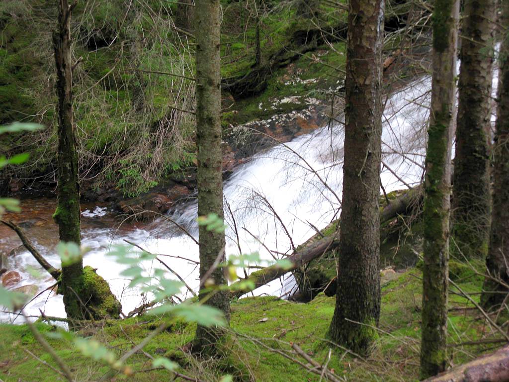
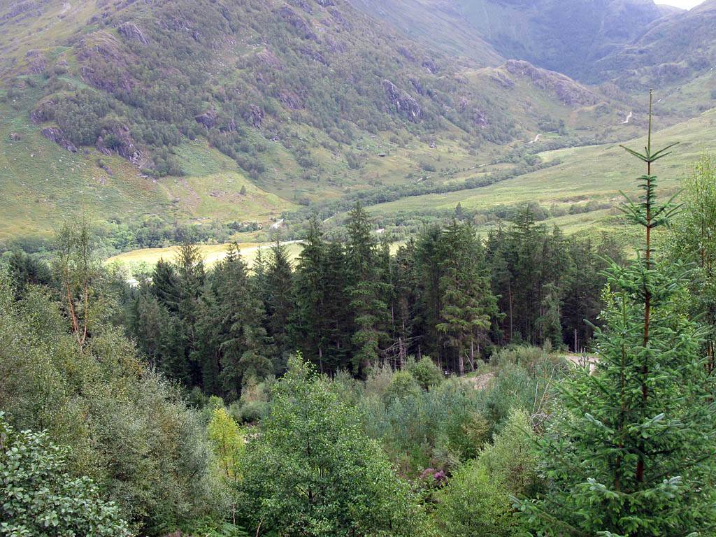
IMG_2191.jpg
IMG_2192.jpg

IMG_2194.jpg
Click here to return to the main Piccies index.
Click here to return to the main 2011 General Piccies Page.
Click here to return to the Scotland 2011 Index Page.
Click here to go back to Scotland 2011 Day 1.
Click here to go forward to Scotland 2011 Day 3.
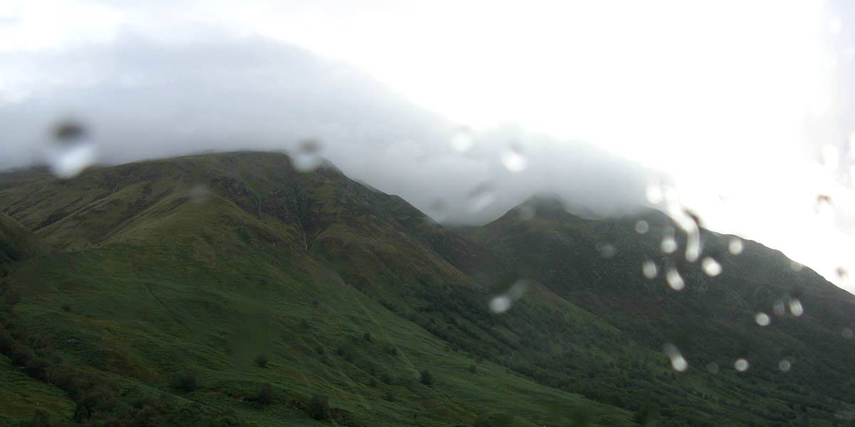
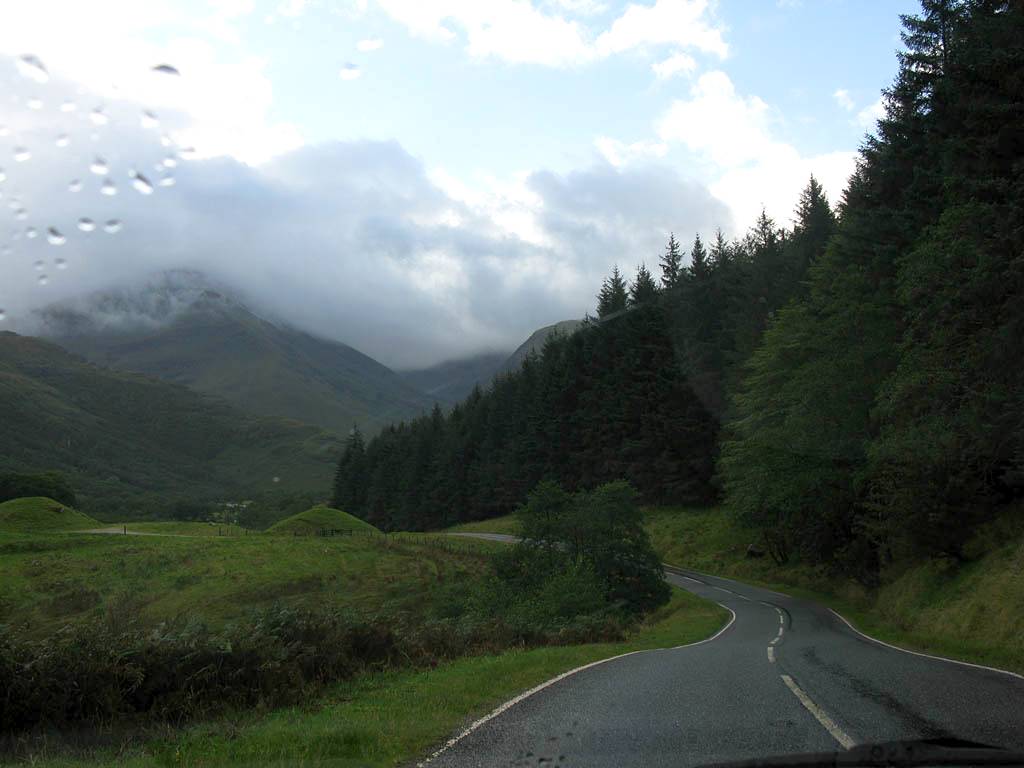
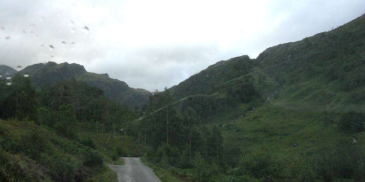
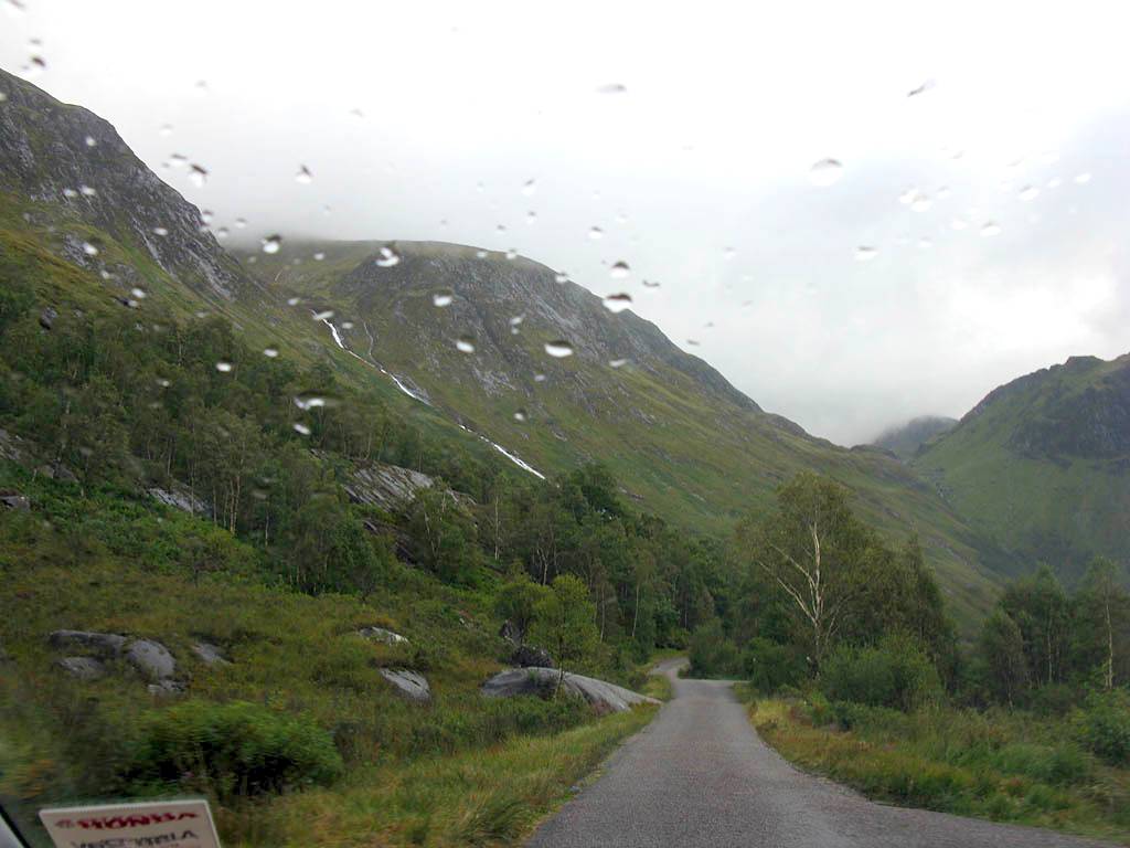
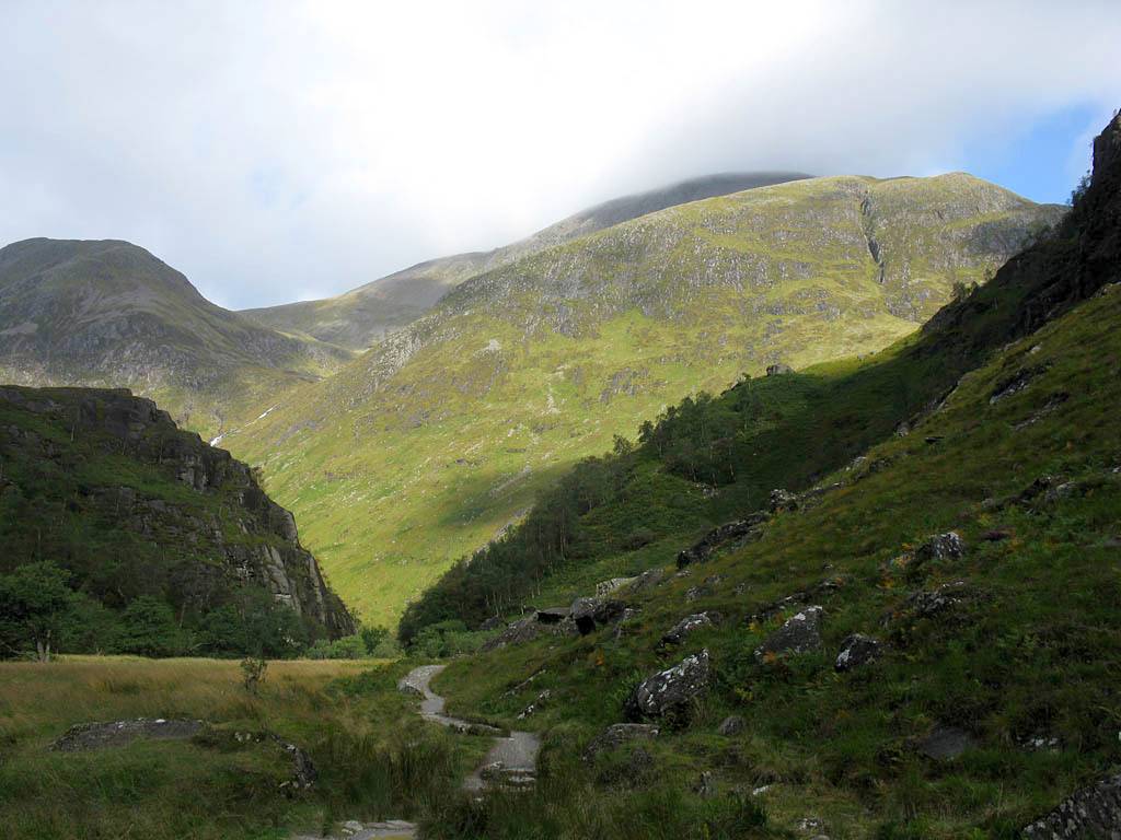
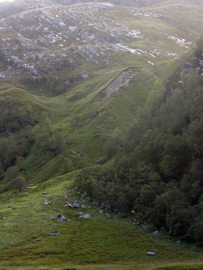
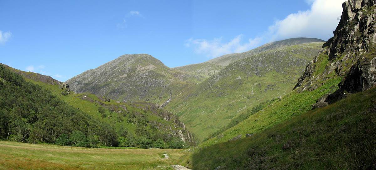
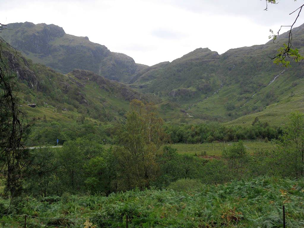
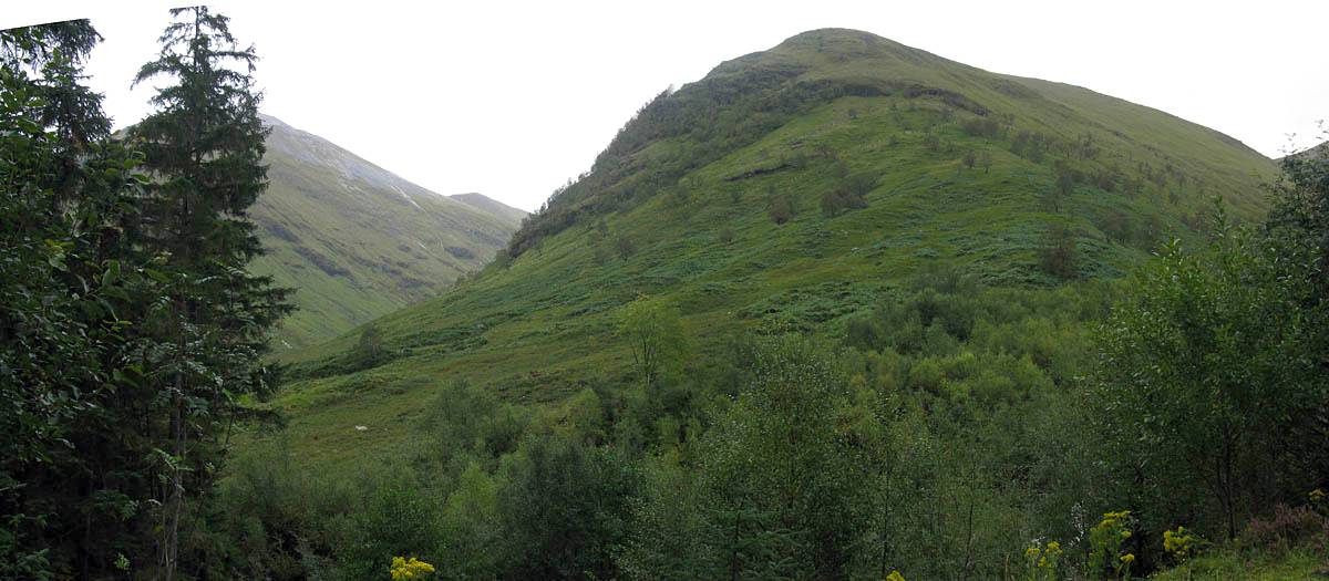
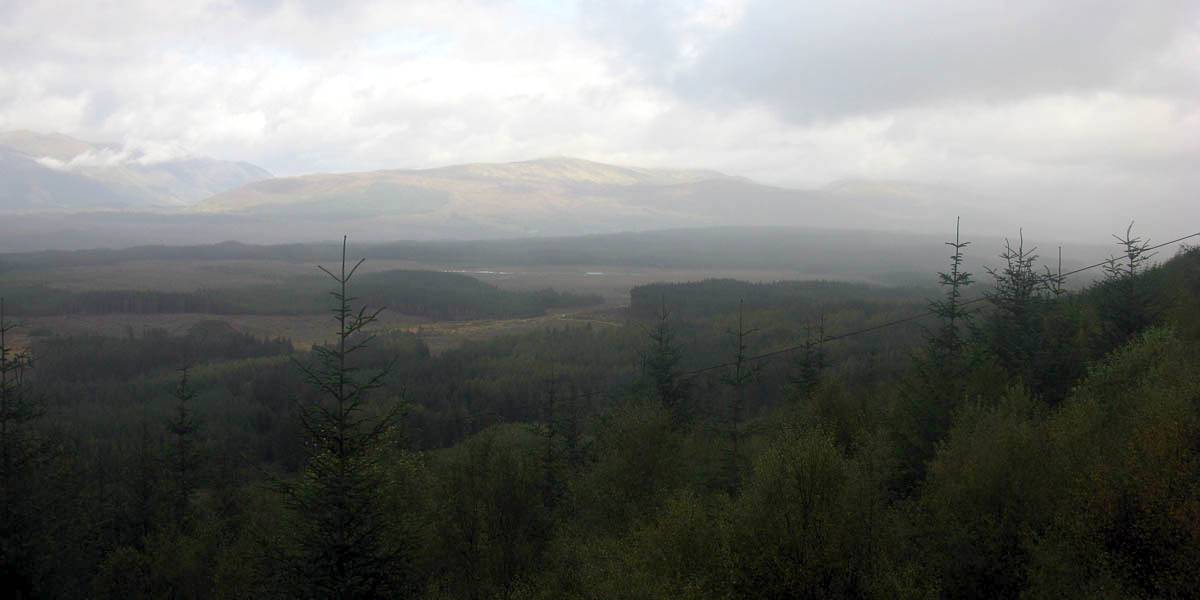
At 8:45 we set off for Glen Nevis. Early cloud hanging on the mountains made for a pictoresque drive.
|
IMG_2182.jpg |
IMG_2185.jpg |
IMG_2191.jpg |
IMG_2192.jpg |
IMG_2194.jpg |
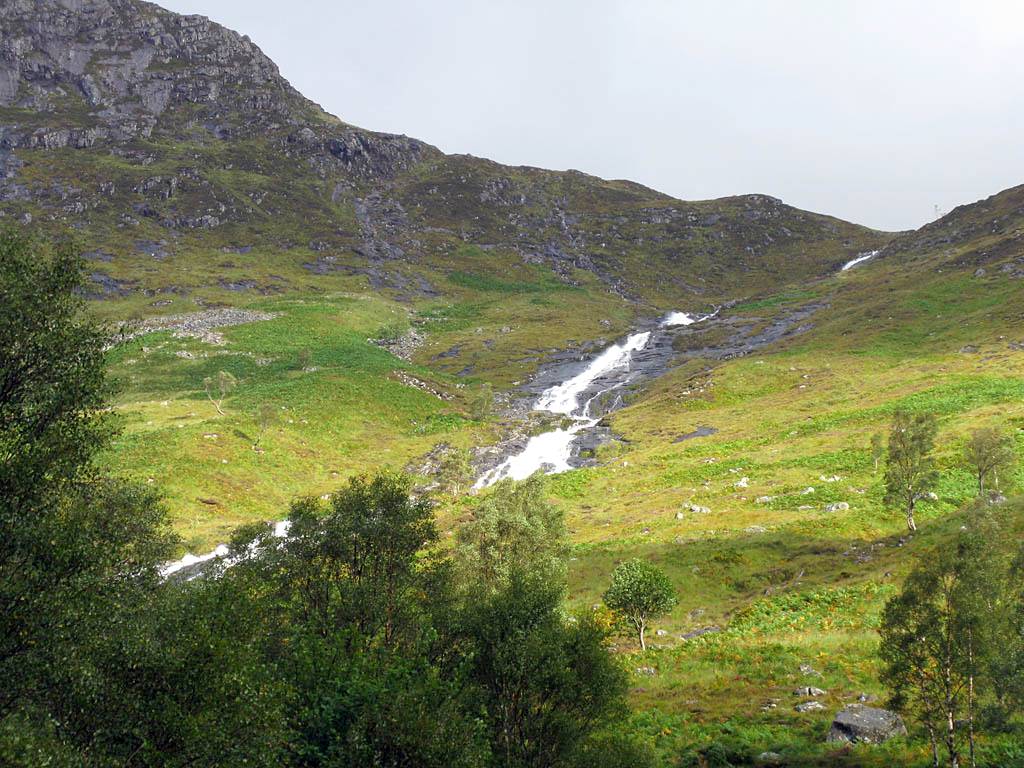
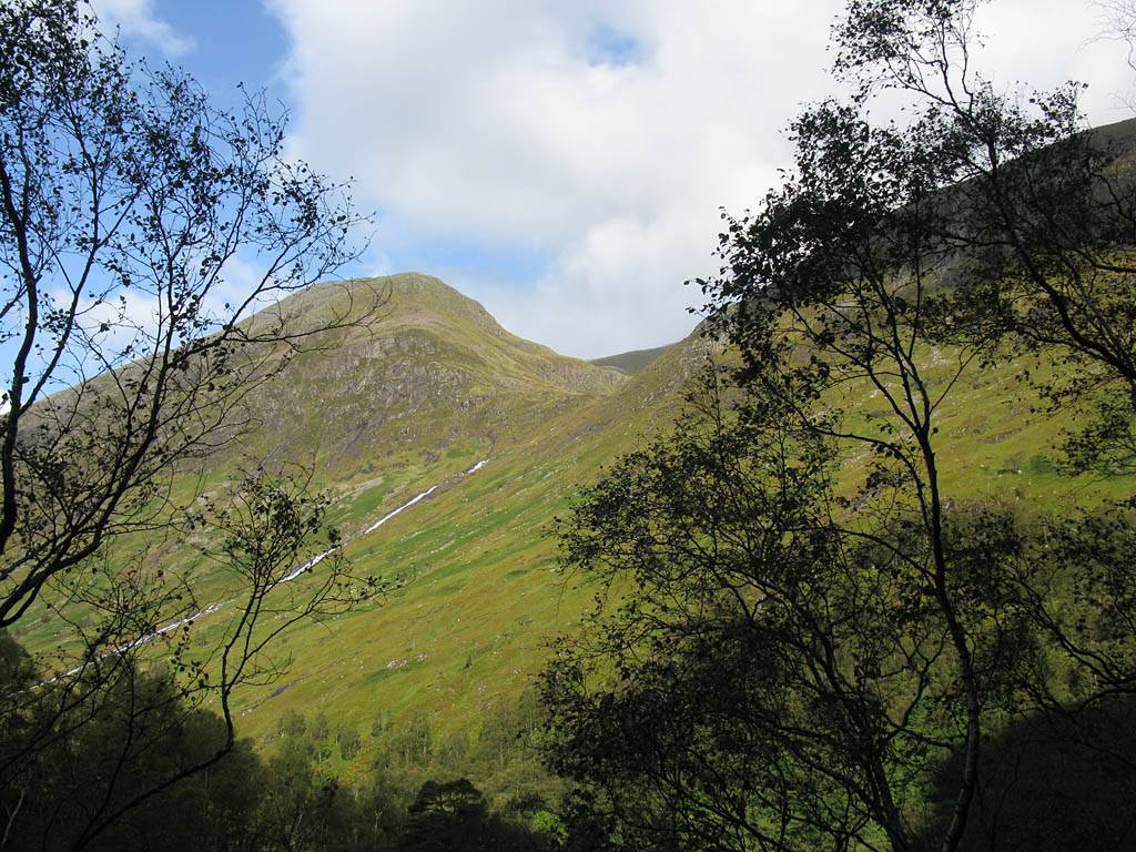
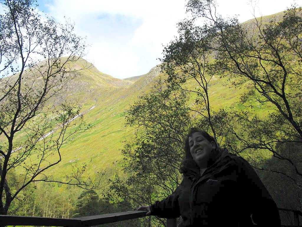
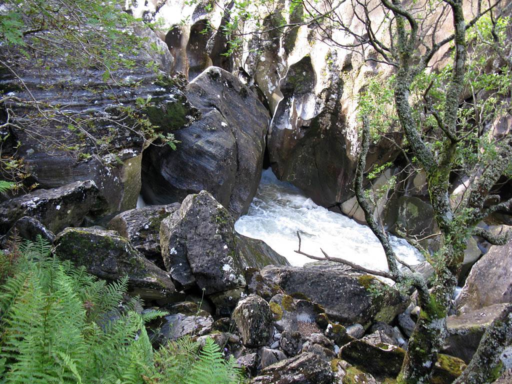
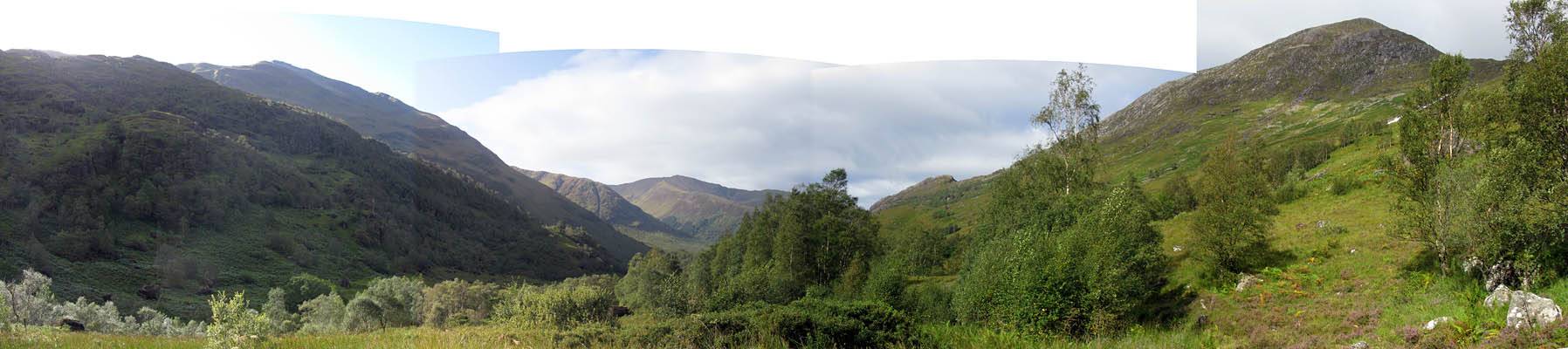
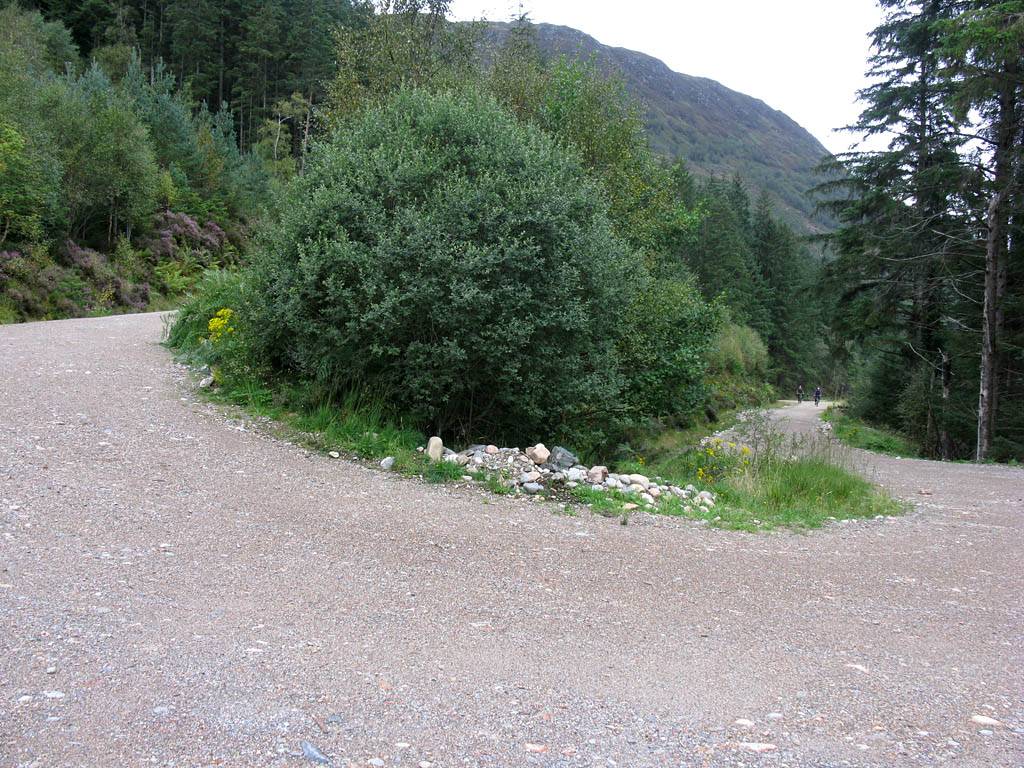
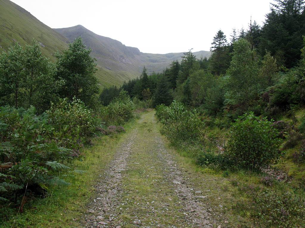
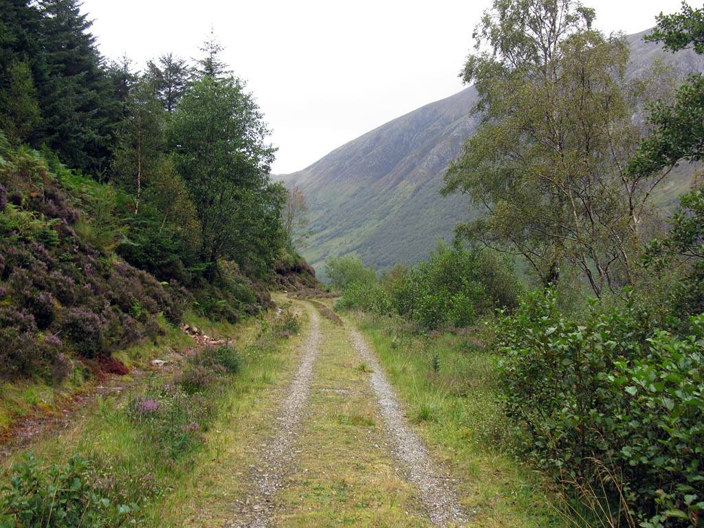
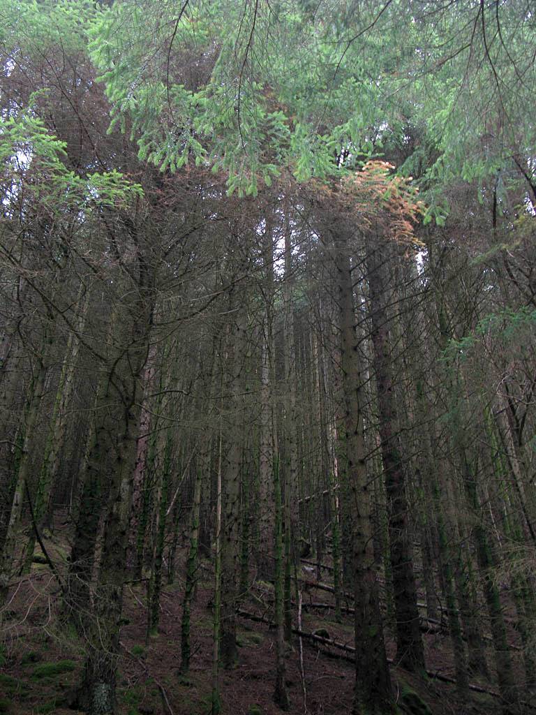
| Driving Southwards along the Glen Nevis Road from Nevis Bridge to the Polldubh Falls car park. | Beyond Polldubh Falls the road becomes single track as it winds its way East to the Upper Falls car park. | The Allt Coire Eoghainn stream that flows down from Ben Nevis. | ||
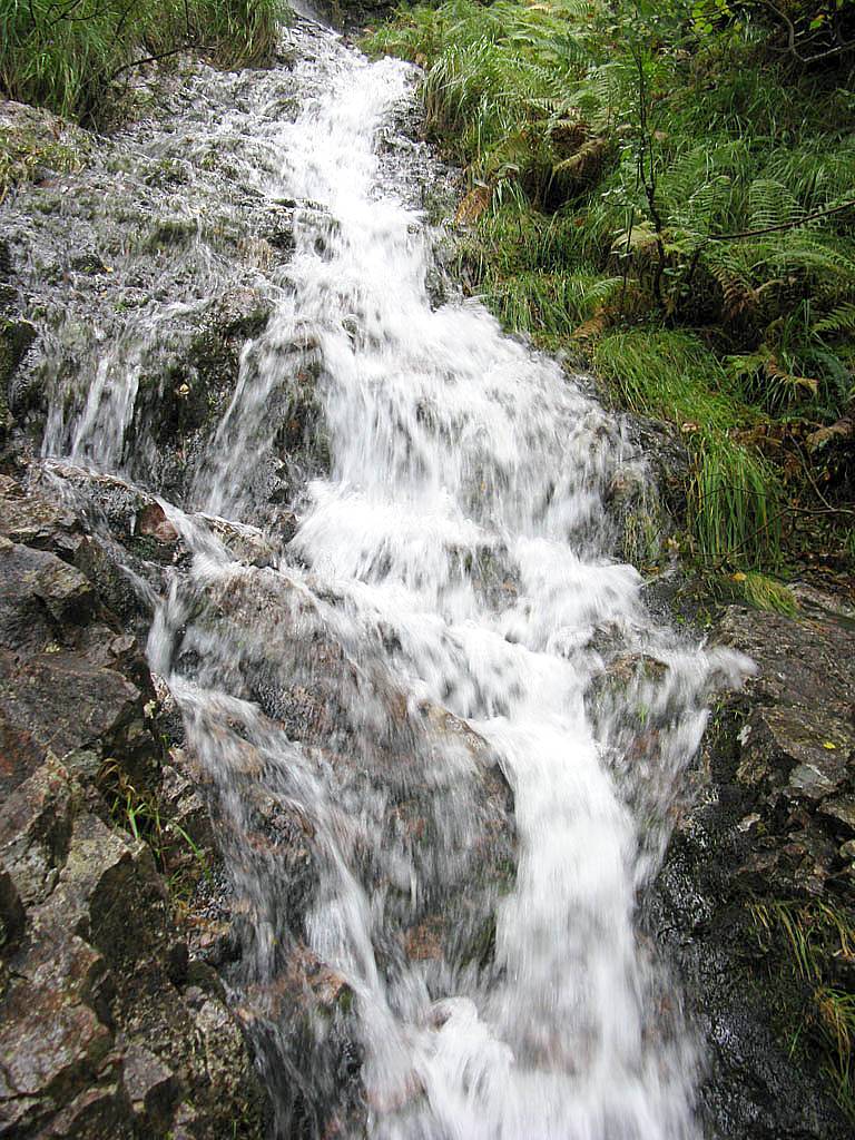
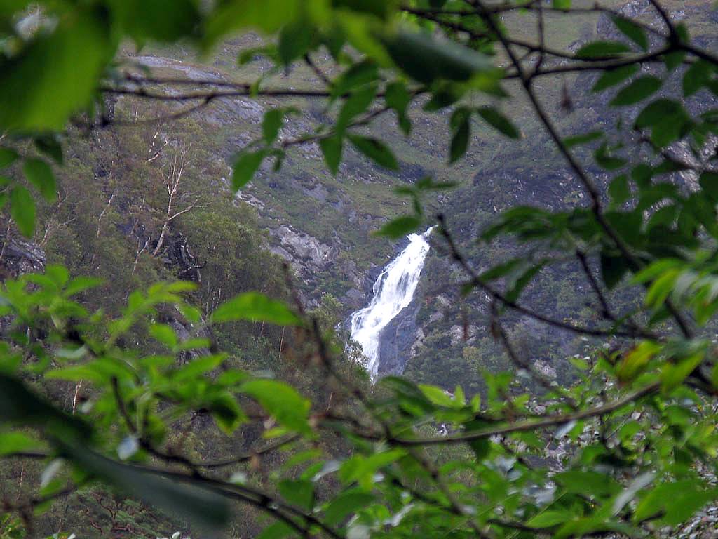
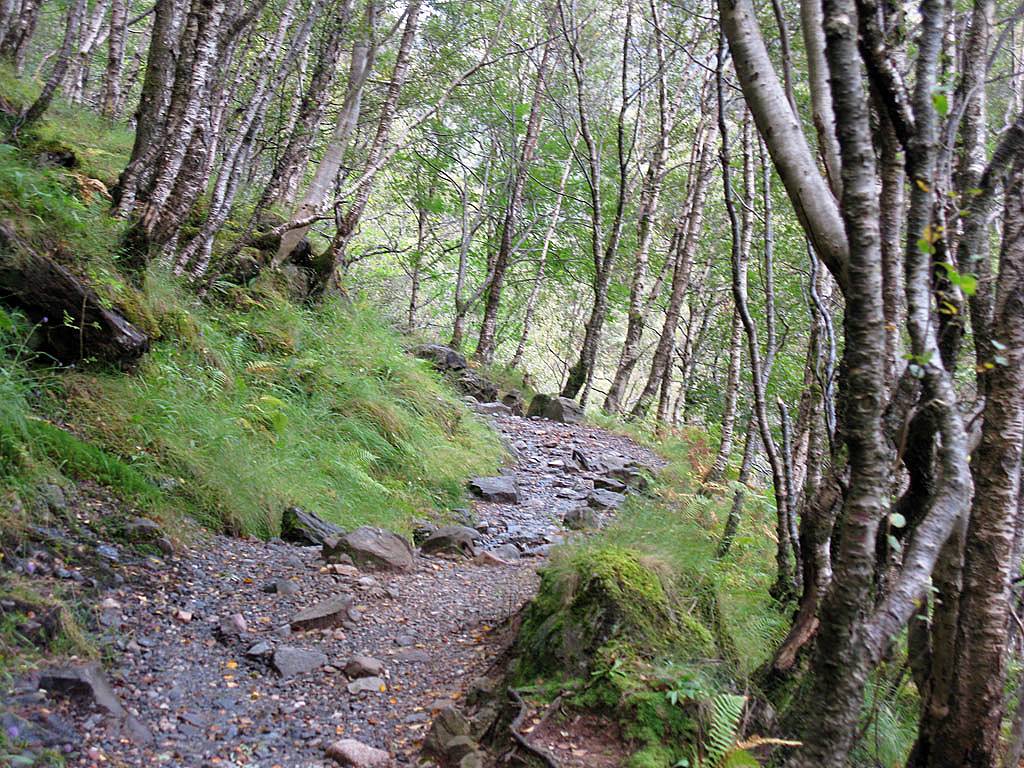
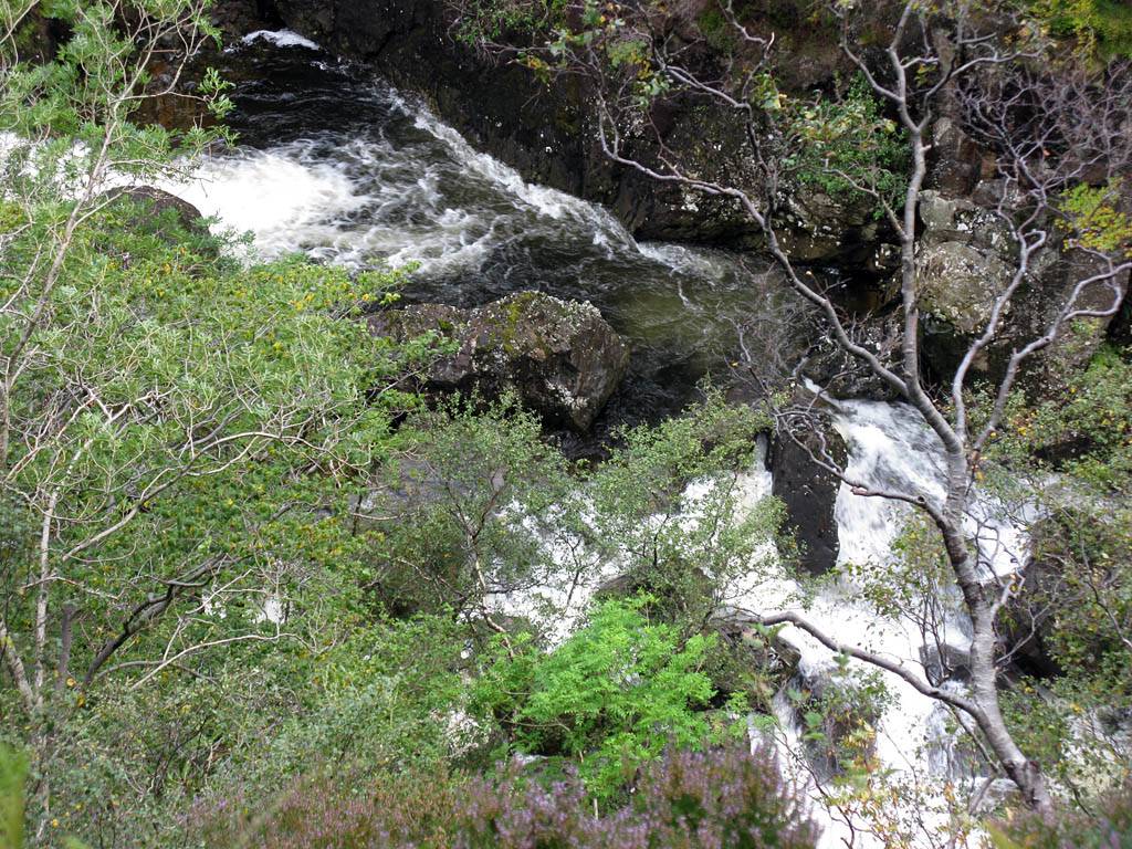
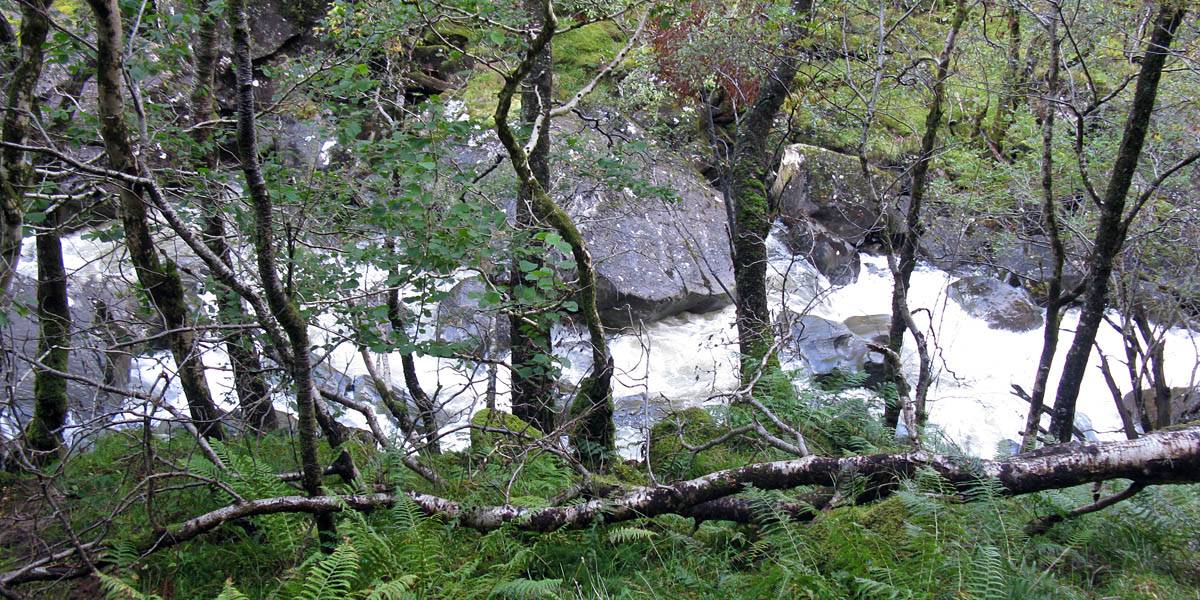
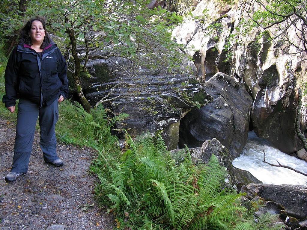
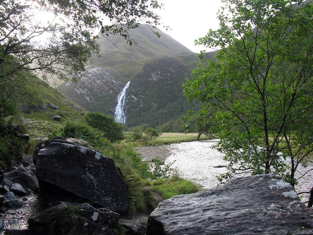
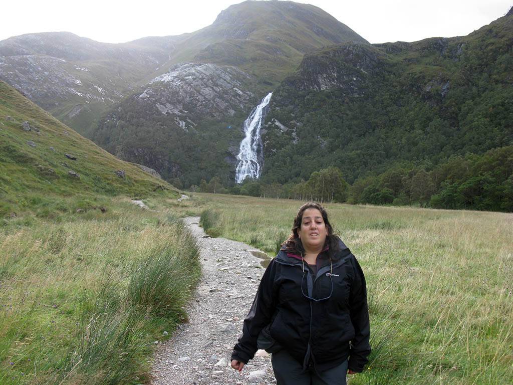
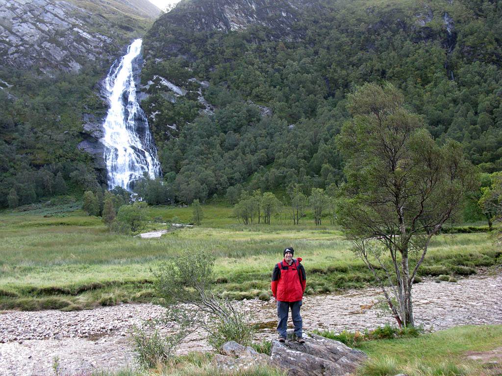
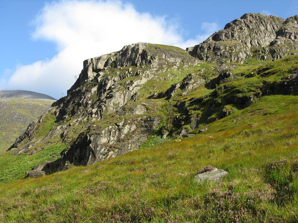
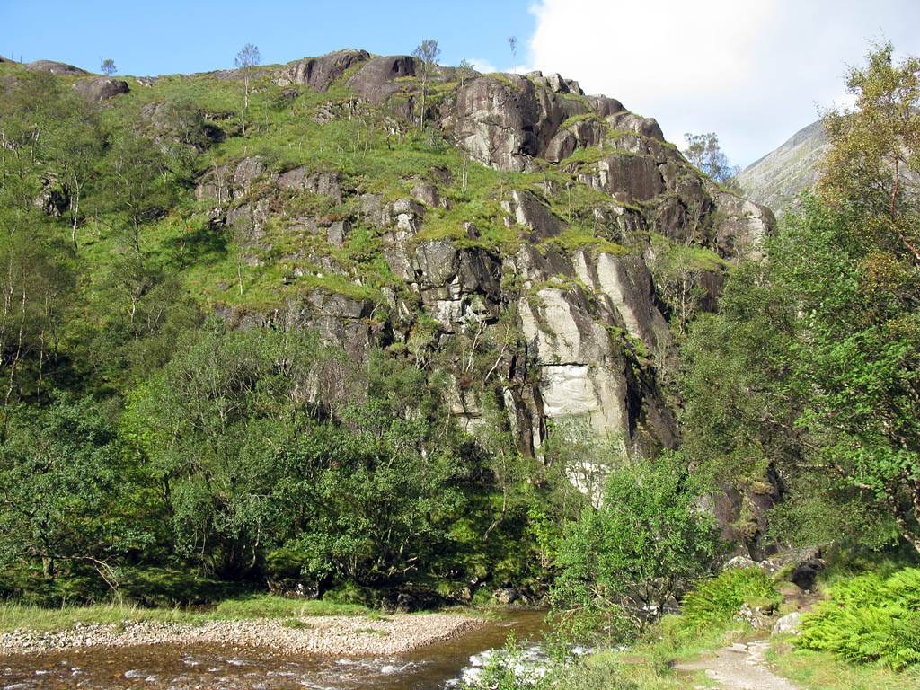
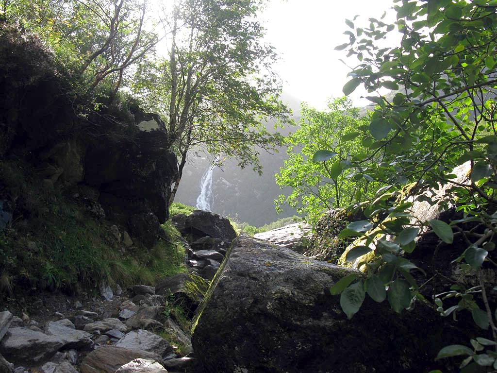
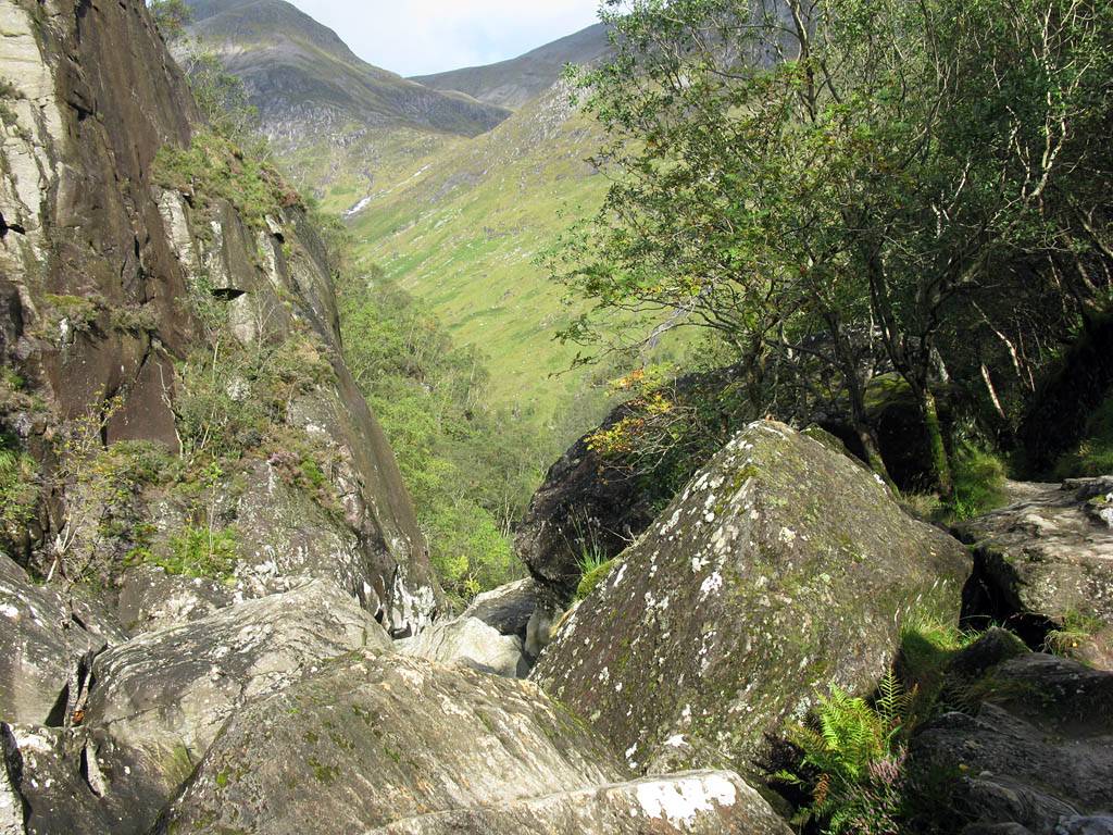
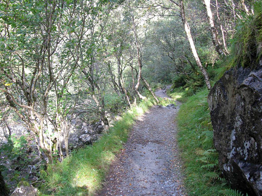
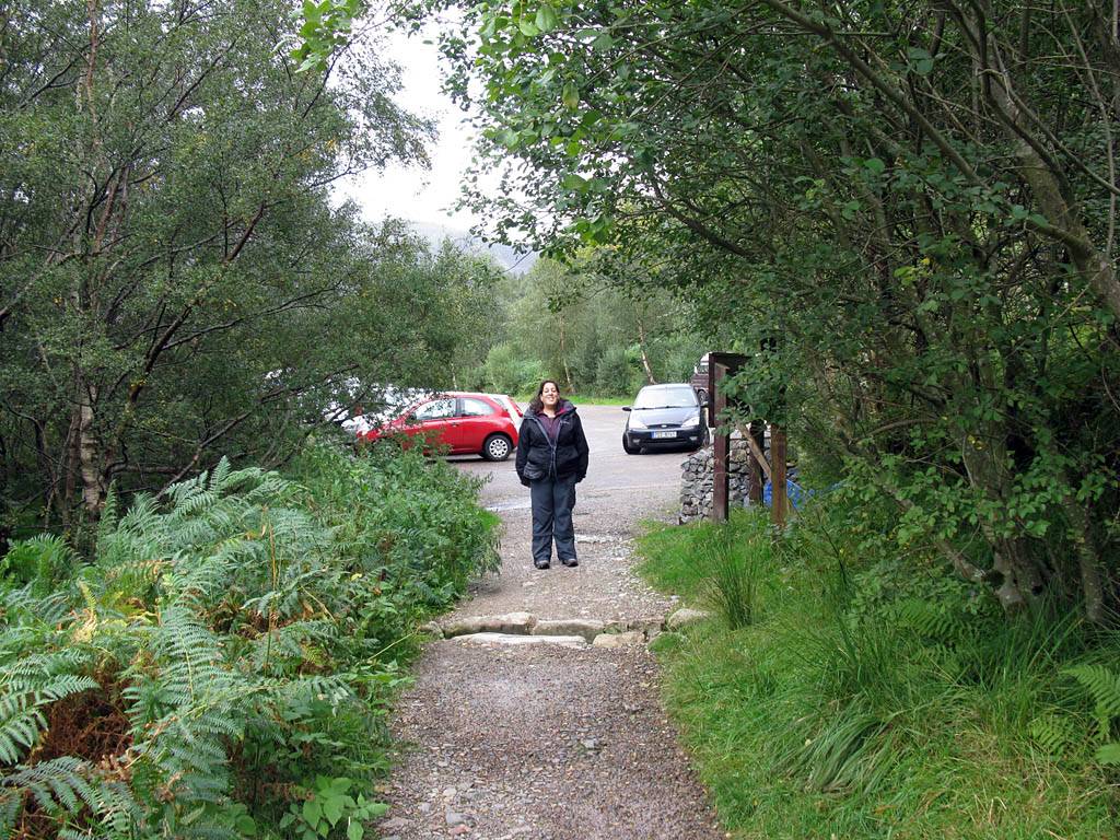
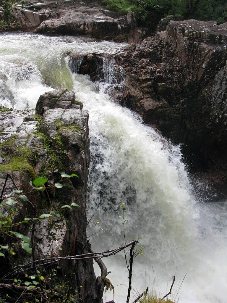
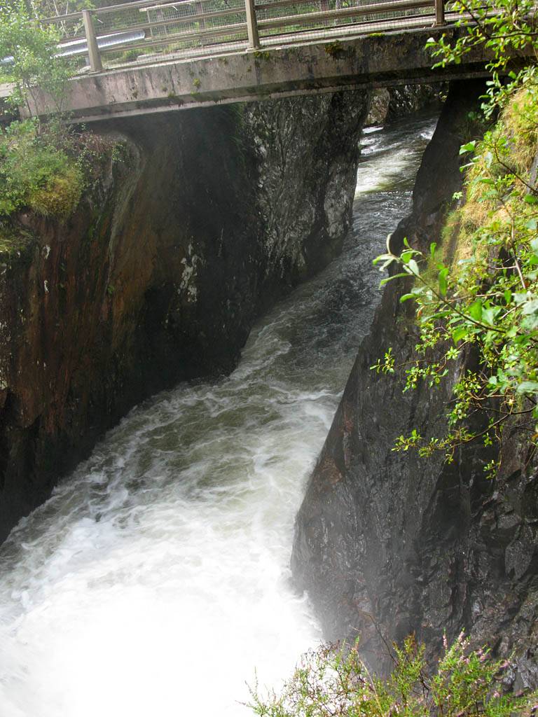
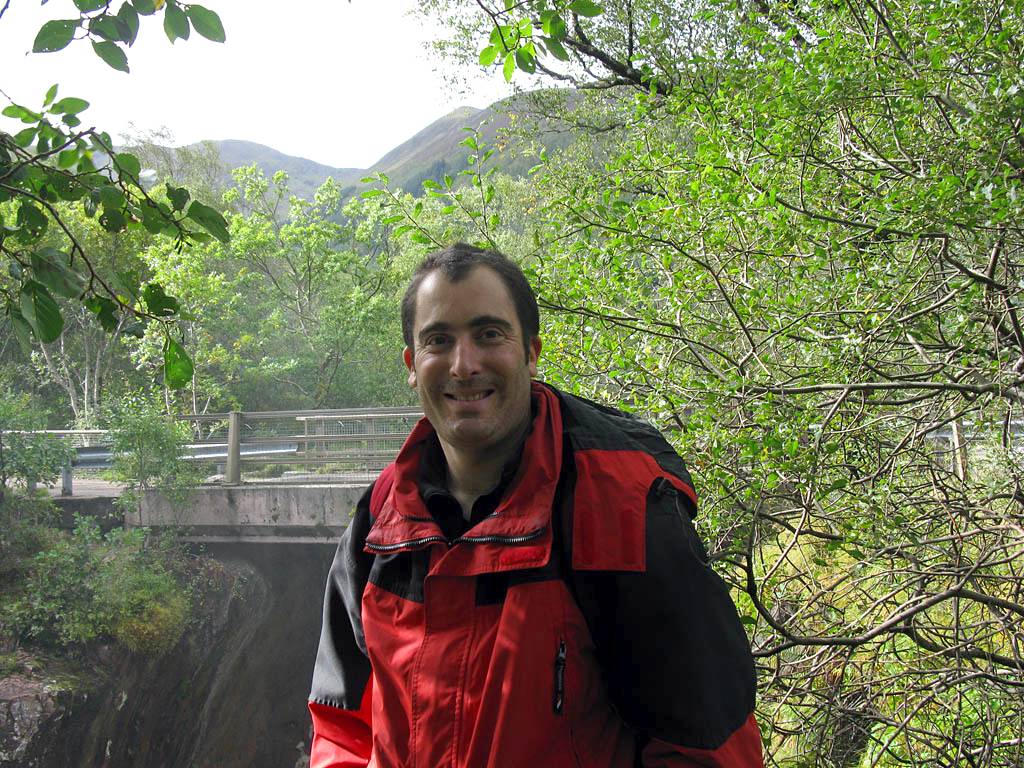
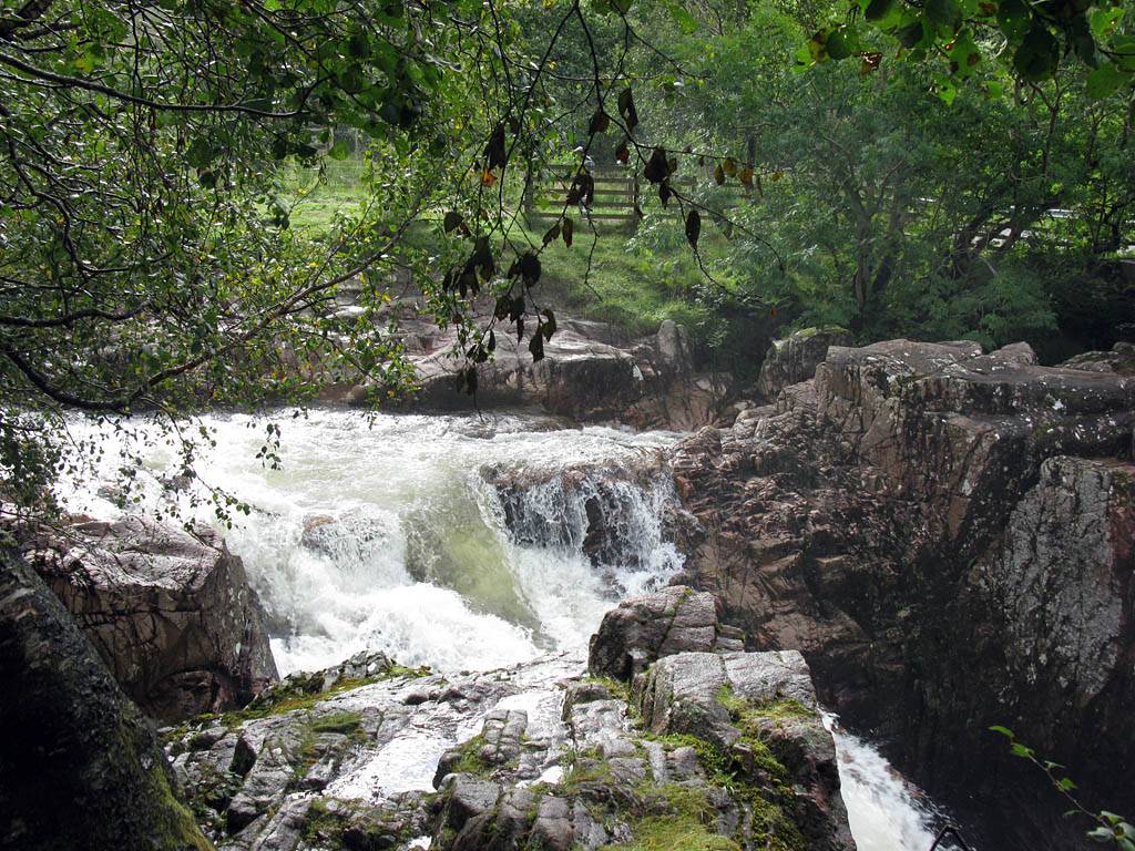
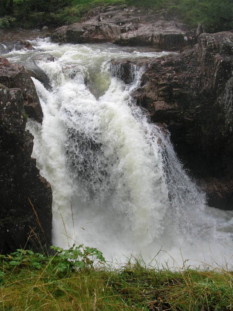
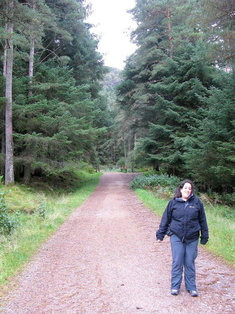
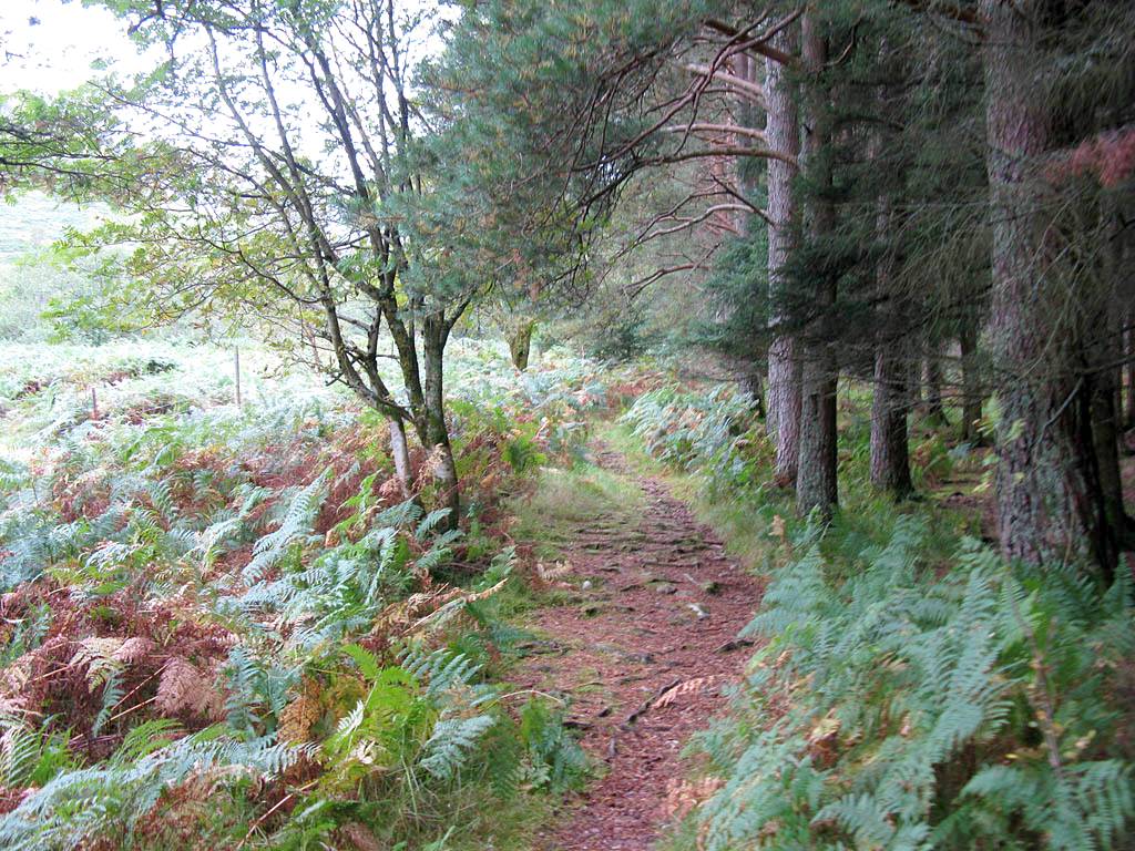
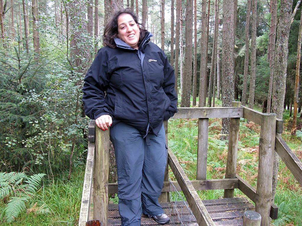
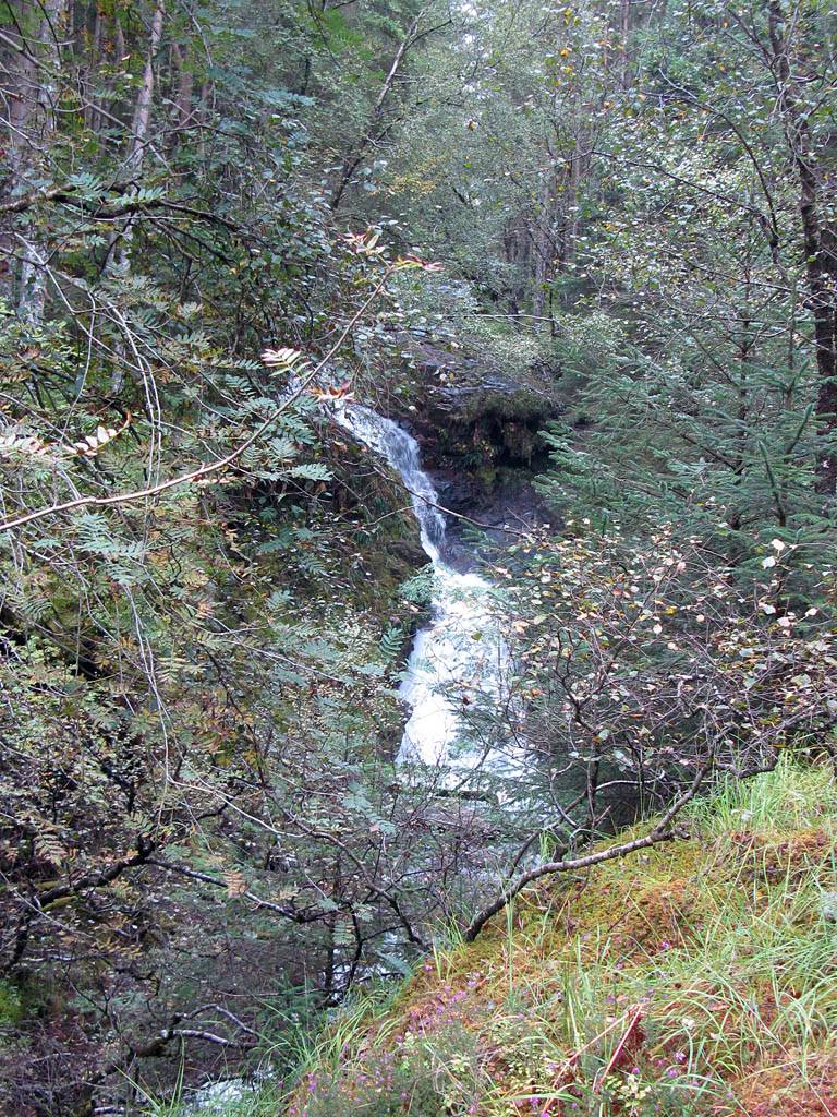
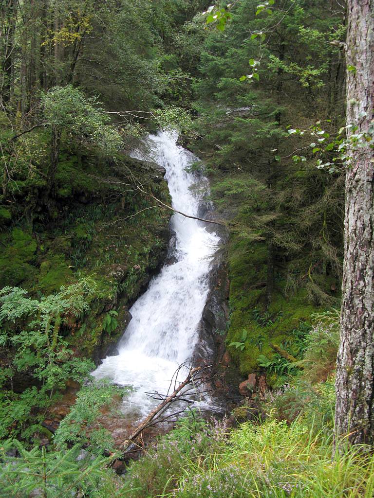
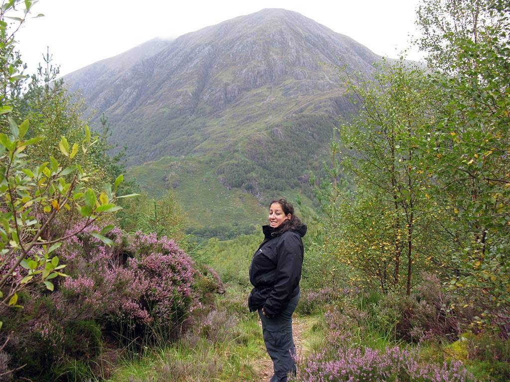
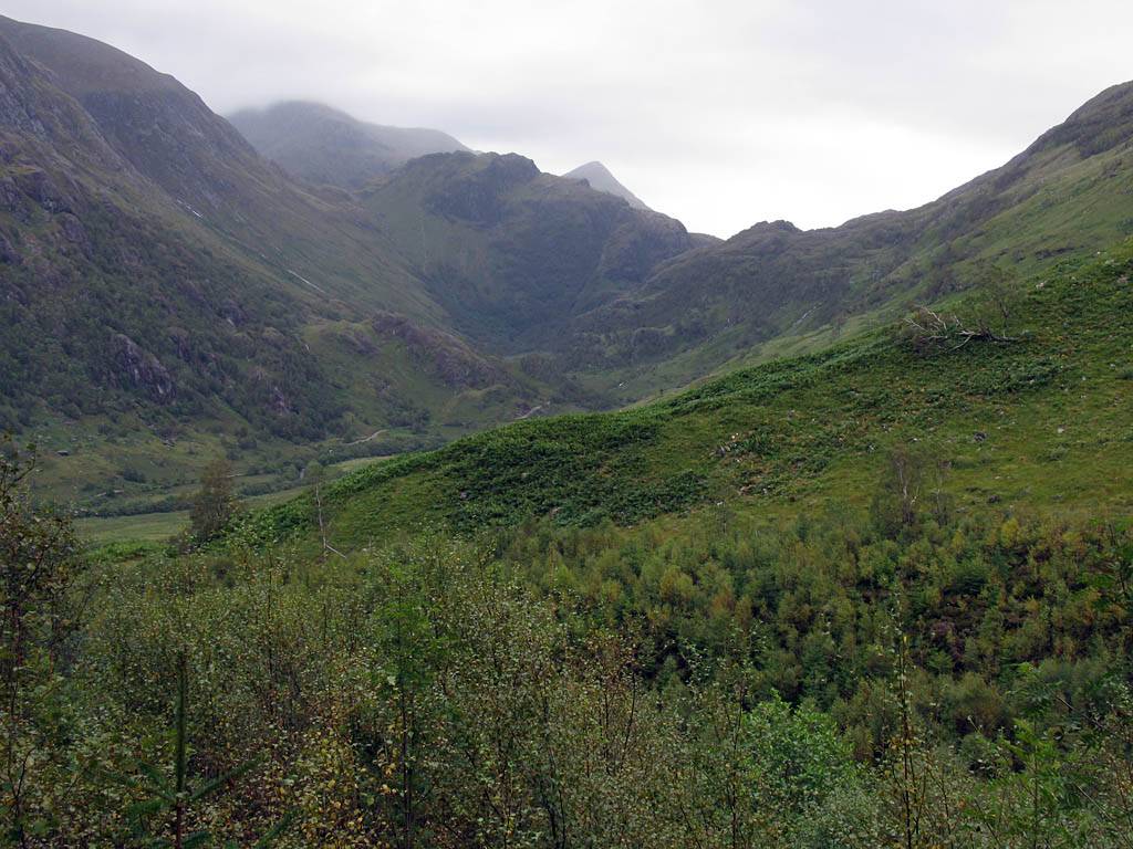
We parked at the upper car park at the end of the road right underneath Ben Nevis and set off on the Steall Falls walk. We walked over the gorge to Steall Falls and back. The cascading Allt Coire Eoghainn waterfall coming off Ben Nevis providing a good reference point back to the car park. Renée struggled a bit over the rocks especially through the gorge but agreed it was worth it. The clouds lifted during the walk and the sun came out. Great views of the peaks were seen, in good conditions. Even Ben Nevis was cloud free for a while. The Steall Falls in spate dominated the beautiful glen beyond the gorge.
Clips of the waterfalls from Glen Nevis are compiled into a You Tube video. Click here to view the video.
 IMG_2197.jpg |
 IMG_2199.jpg |
 IMG_2203.jpg |
 IMG_2204.jpg |
 IMG_2205.jpg |
 IMG_2207.jpg |
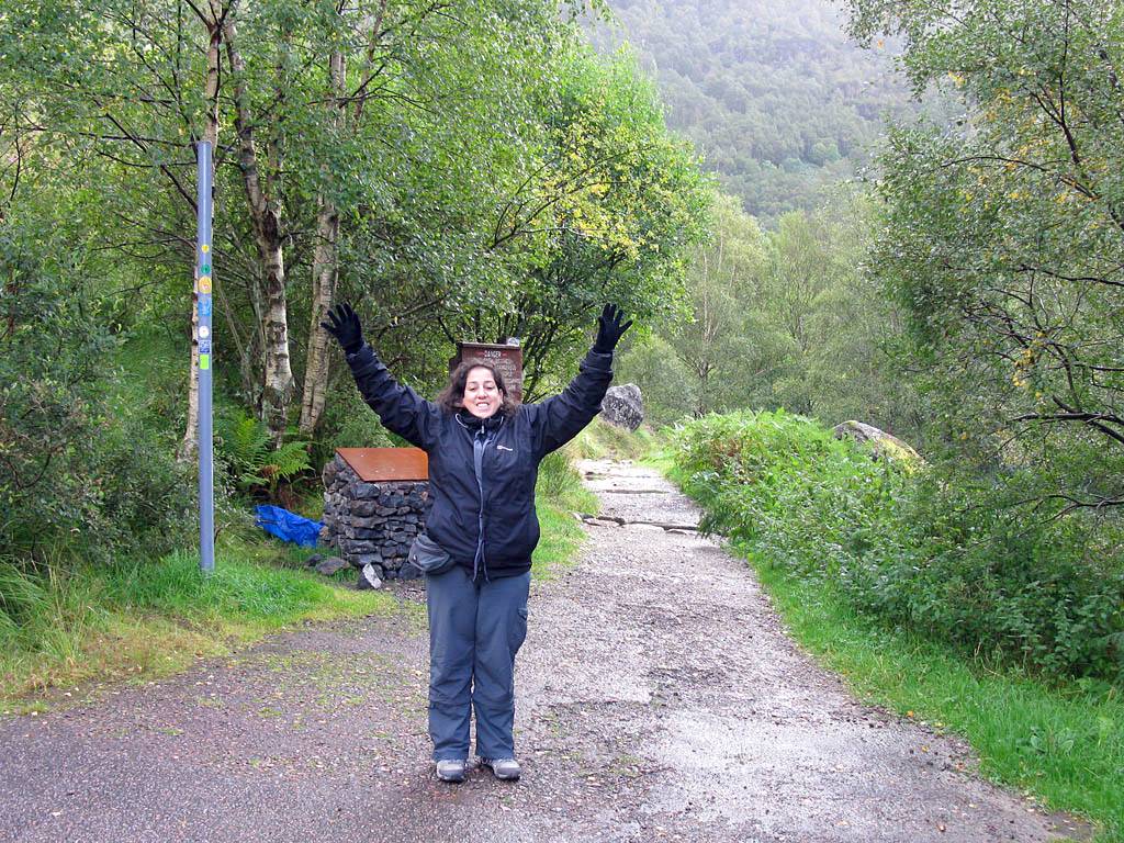
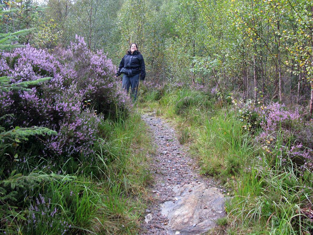
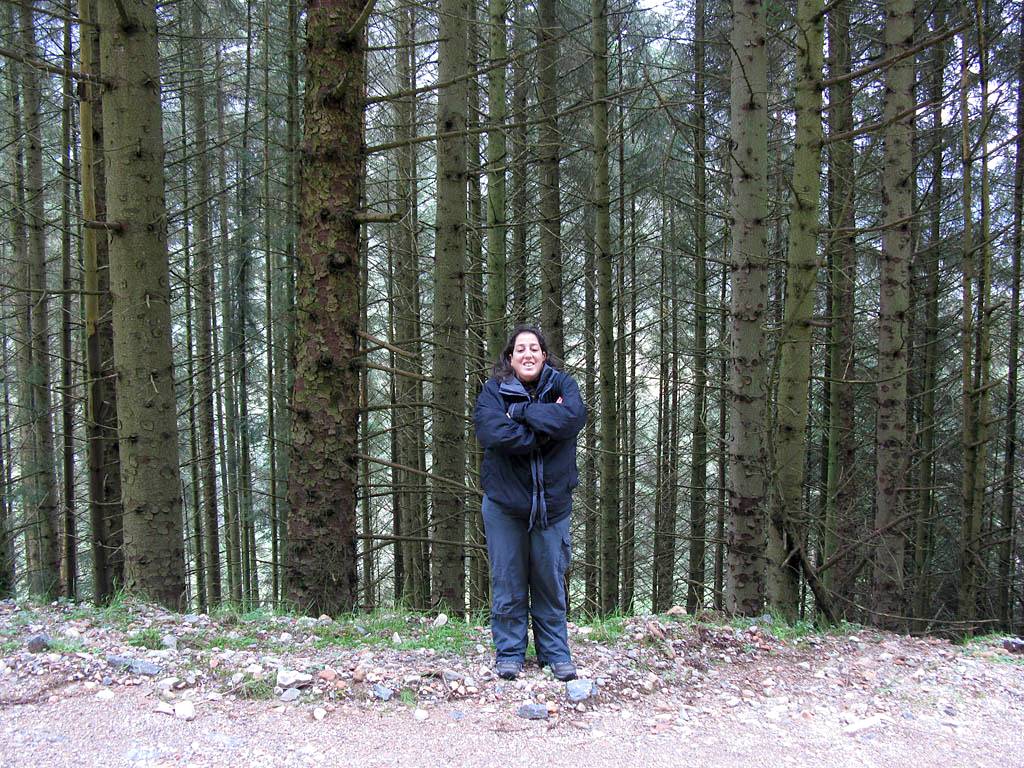
| Looking up at Allt Coire Eoghainn on the slopes of Ben Nevis. | Raring to go on the first Scottish walk! | Admiring some of the many waterfalls and streams that cross the path as we head towards the gorge. | The first view of the Steall Falls, seen as we approach the gorge. | ||
 IMG_2210.jpg |
 IMG_2212.jpg |
 IMG_2214.jpg |
 IMG_2218.jpg |
 IMG_2219.jpg |
 IMG_2221.jpg |
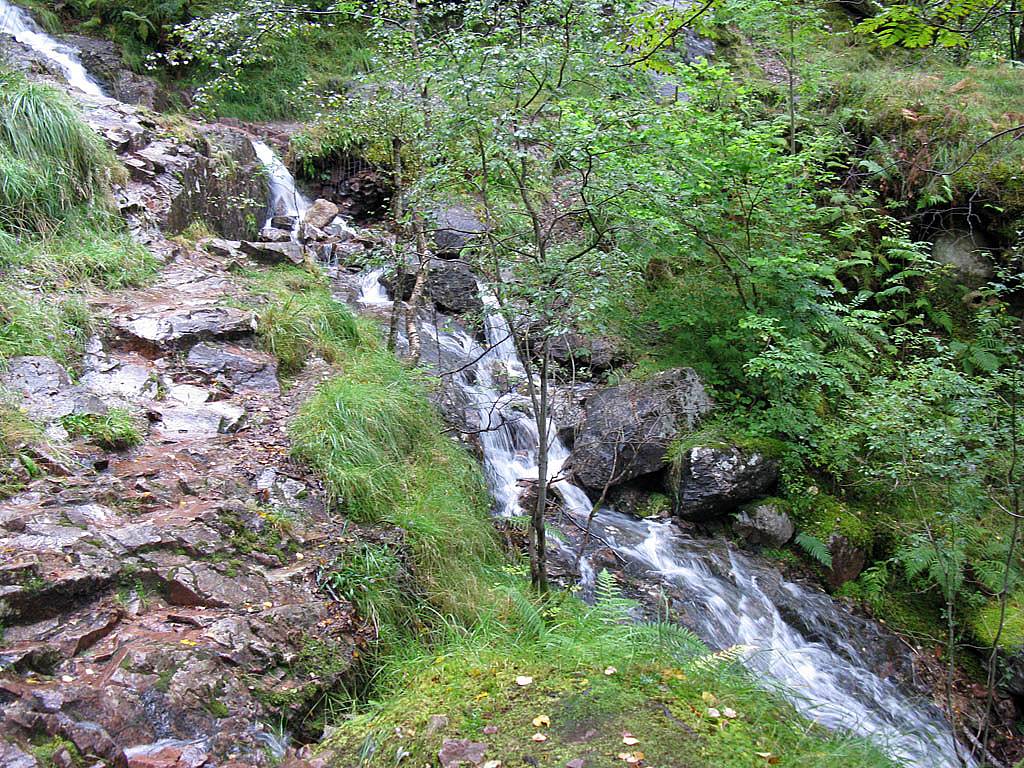
| Watching the raging torrent below as we walk along a nice wooded path. | Looking back to Ben Nevis, with Allt Coire Eoghainn being a good marker to where the car park is. | Walking through the gorge above the Water of Nevis. | Renée posing by some huge fallen boulders. Look how the water has sculpted the walls of the gorge. | ||
 IMG_2222.jpg |
 IMG_2224.jpg |
 IMG_2225.jpg |
 IMG_2226.jpg |
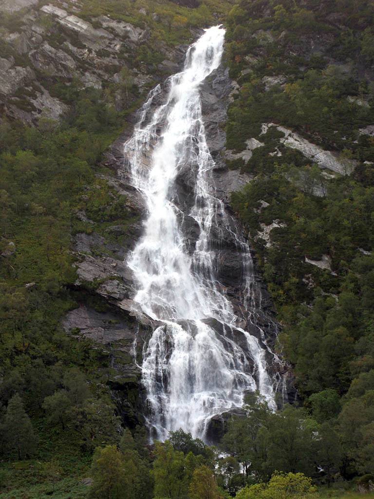 IMG_2227.jpg |
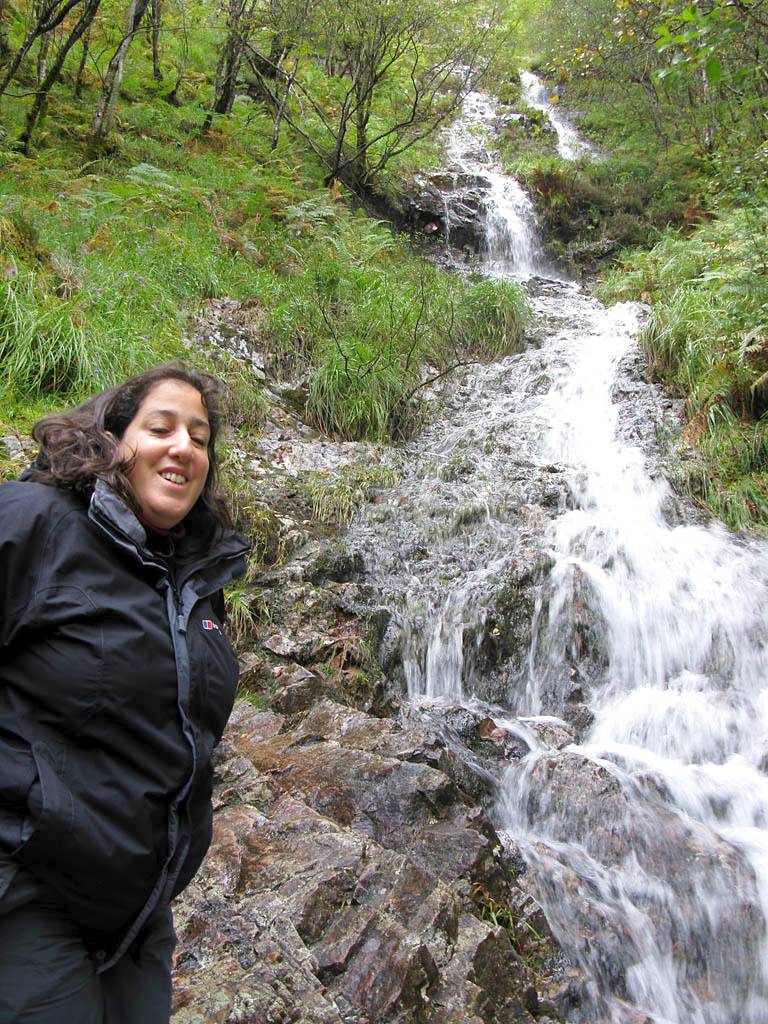
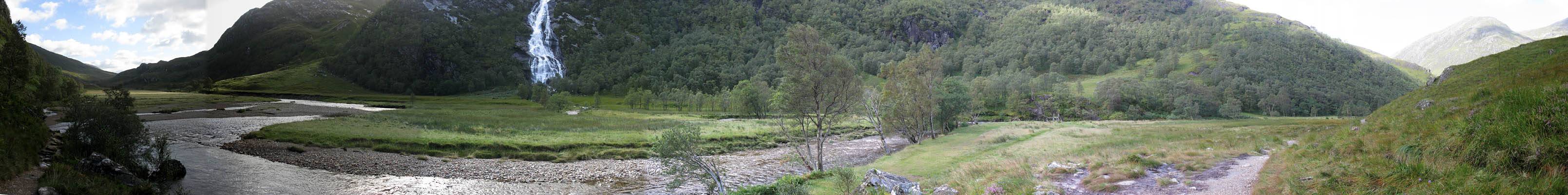
| Looking down at the gorge. | The upstream end of the gorge as it opens out into a beautiful glen dominated by the Steall Falls. | Behind us the cloud is steadily clearing from Ben Nevis and the sun coming out. | Renée in front of the Steall Falls. | The Steall Falls. |
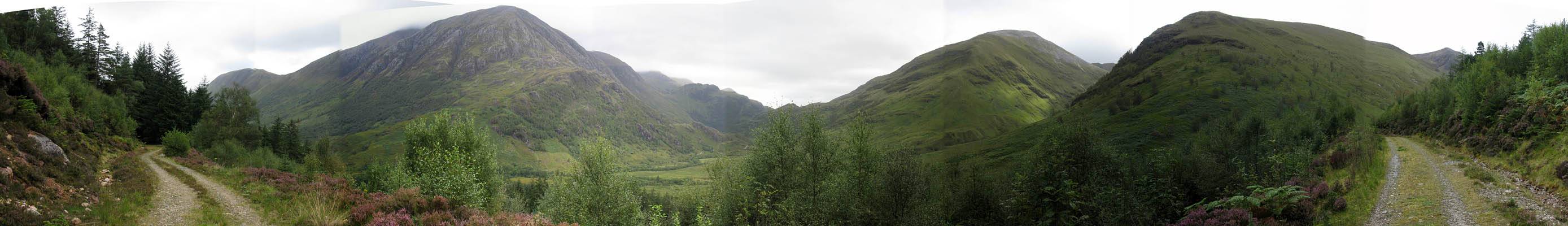
 IMG_2228_2234_Panorama.jpg |
 IMG_2235.jpg |
 IMG_2236.jpg |
 IMG_2237.jpg |
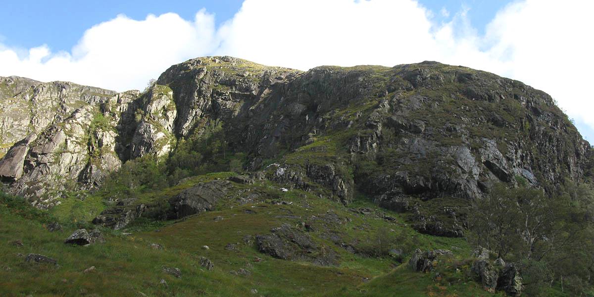
| 180 degree panorama as we approach the closest point to the Steall Falls without crossing over. | Looking up at the craggy rocks on the side of Meall Cumhann. | Looking upstream. The pebbles are all rather exquisitely patterned and coloured. | The path up the side of the Steall Falls. I walked this path two years ago. A steep path that goes straight up to An Gearanach, a Munro at 982m (3221ft) and part of a ridge that leads right round above the waterfall. |
 IMG_2240.jpg |
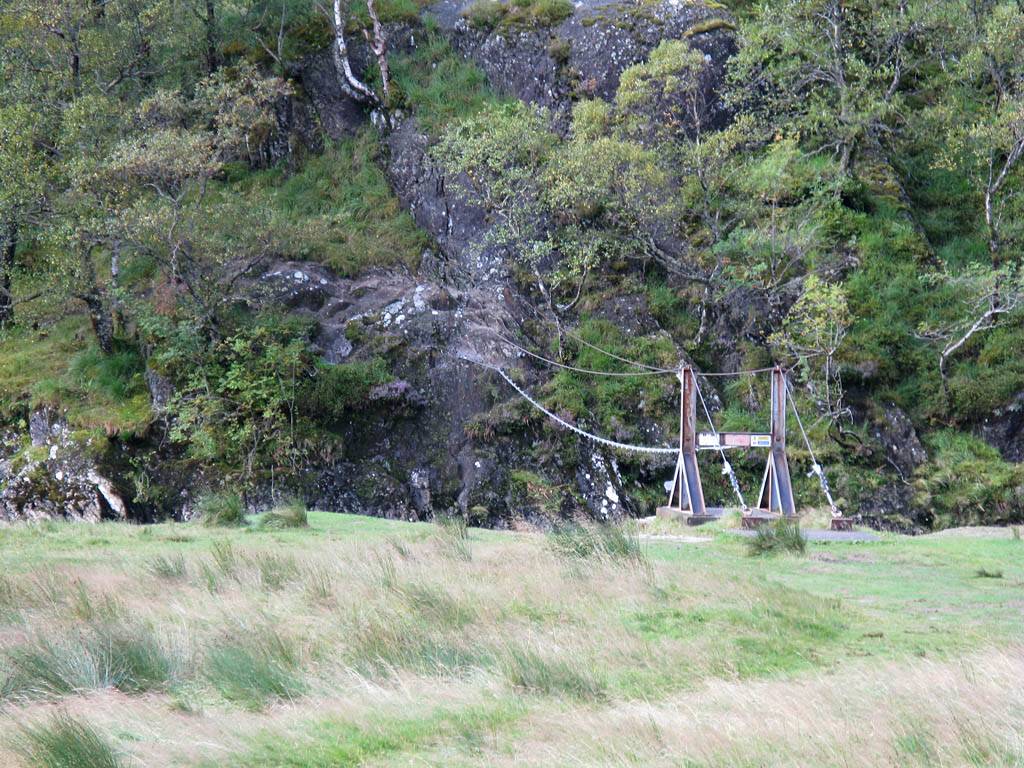 IMG_2247.jpg |
 IMG_2248.jpg |
 IMG_2249_2250_Panorama.jpg |
 IMG_2251.jpg |
| Mike in front of the Steall Falls. | The crazy rope bridge and hut next to the Steall Falls. | Looking back again at a now cloud free Ben Nevis and Meall Cumhann crags from opposite the Steall Falls. | ||
 IMG_2252_2262_360Panorama.jpg |
 IMG_2263.jpg |
 IMG_2265.jpg |
| 360 degree panorama taken close to the gorge entrance. | Looking back to the gorge as we start to retrace our steps. | One last look at the Steall Falls before it disappears from view. |
 IMG_2266.jpg |
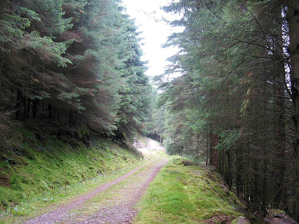
 IMG_2268.jpg |
 IMG_2270.jpg |
 IMG_2271.jpg |
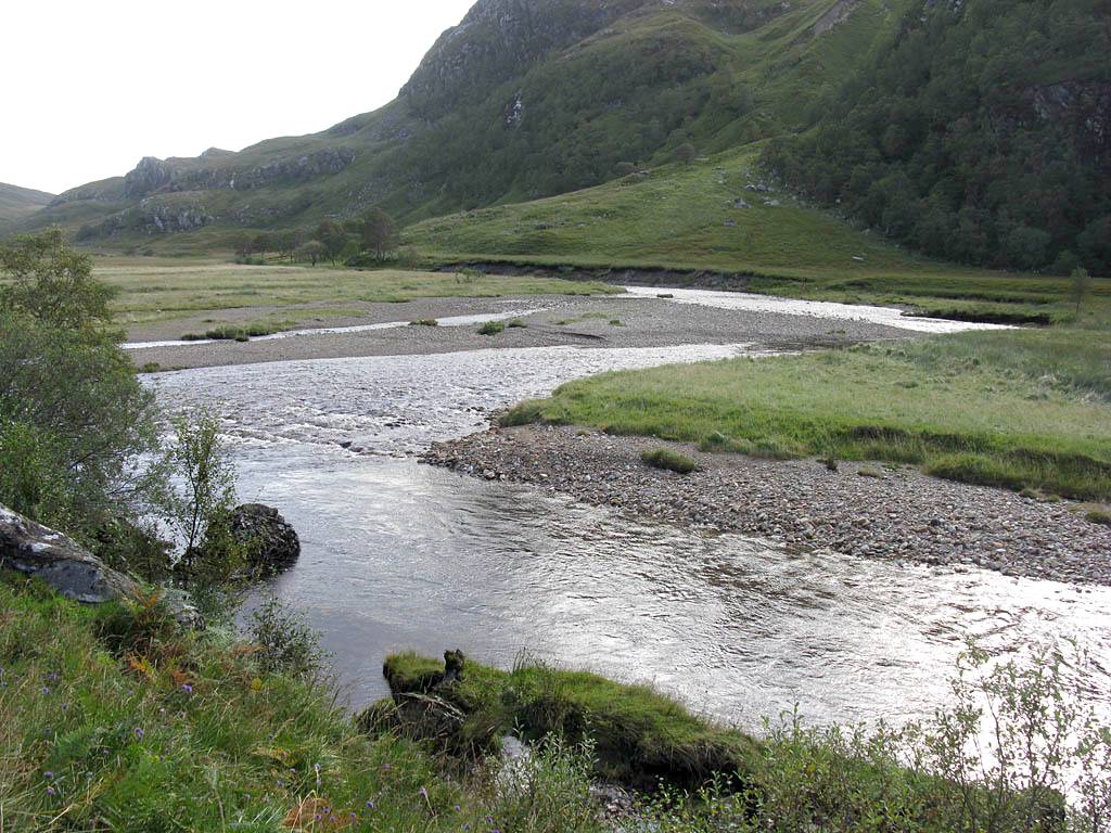
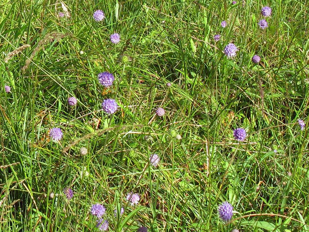
| Looking ahead to Allt Coire Eoghainn, now the end point. | The woodland path above the gorge. | Looking downstream towards Polldubh Falls. | Meadow flowers by the side of the path. |
 IMG_2273_2276_Panorama.jpg |
 IMG_2279.jpg |
 IMG_2282.jpg |
| Panorama looking downstream as we get closer to the end of the walk. | Almost surreally bright red mushrooms. | The end of the walk. |
Then we transferred to the lower car park. Here we first looked at the Polldubh waterfall.
Clips of the waterfalls from Glen Nevis are compiled into a You Tube video. Click here to view the video.
 IMG_2285.jpg |
 IMG_2286.jpg |
 IMG_2287.jpg |
 IMG_2288.jpg |
 IMG_2289.jpg |
| The Polldubh Falls. | Mike at the Polldubh Falls. | More views of the Polldubh Falls. | ||
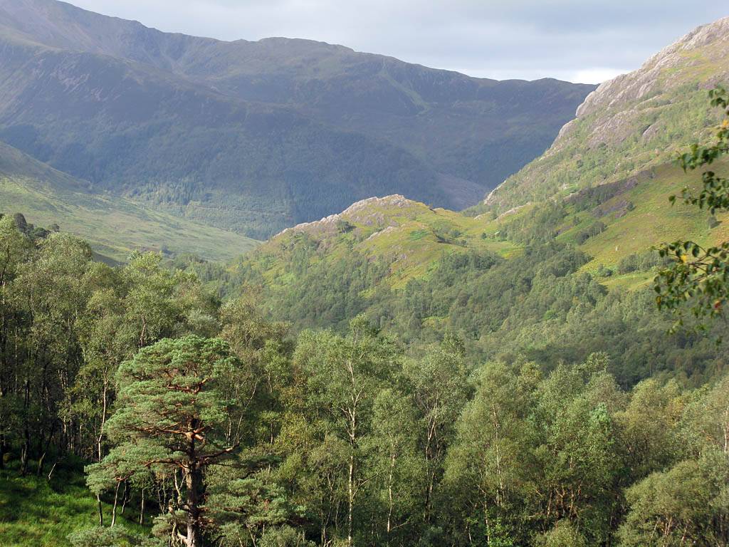
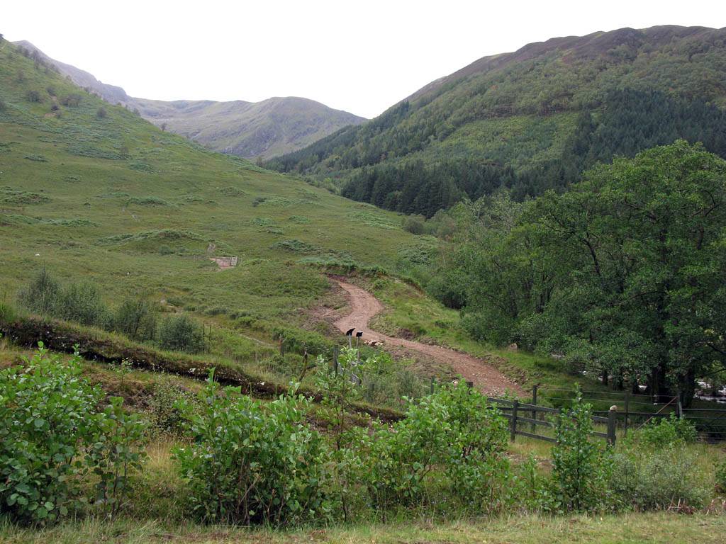
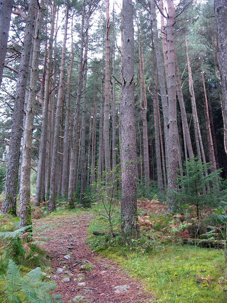
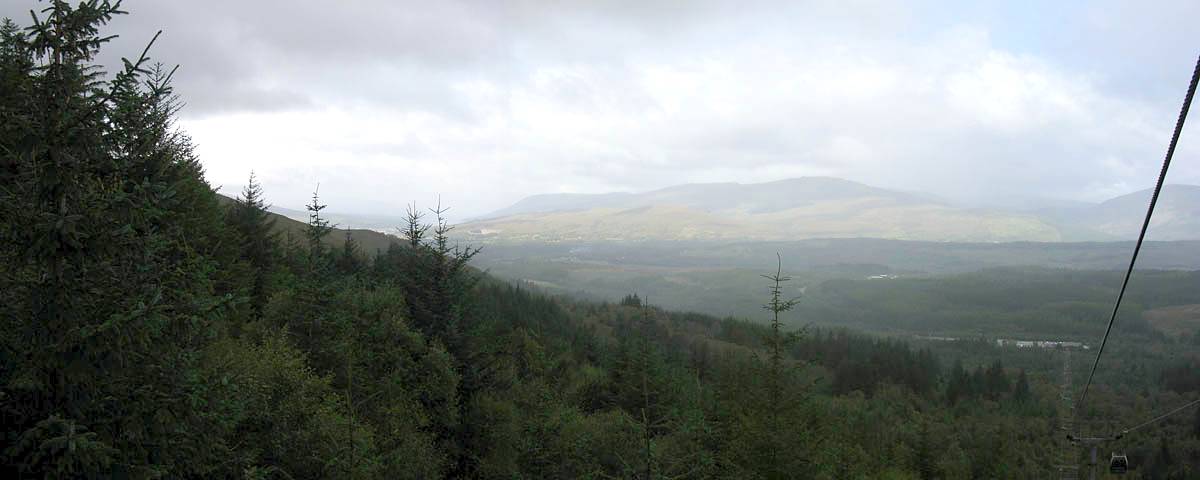
Then we walked the Achriabhach Forest Walk trail. This was also a nice walk with good views up and down Glen Nevis and the mountains as we ascended higher up the hill side. There was also a lesser visited waterfall which is part of a series of cascades on the Allt a'Choire Dheirg river and follows close to the forest edge. After following the path up we passed a hairpin bend in a forest track. The path continued up through more open areas of vivid heather before ending at the track. We then followed the track back down through the pine trees to the start of the walk again.
Clips of the waterfalls from Glen Nevis are compiled into a You Tube video. Click here to view the video.
 IMG_2295.jpg |
 IMG_2298.jpg |
 IMG_2300.jpg |
 IMG_2306.jpg |
 IMG_2307.jpg |
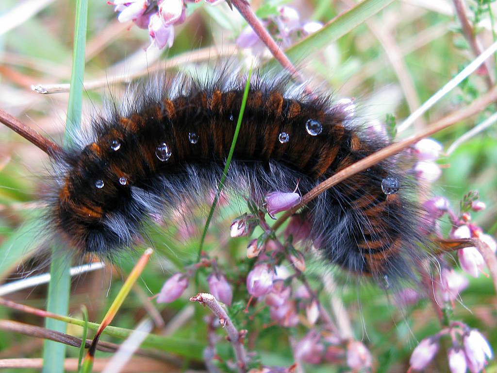
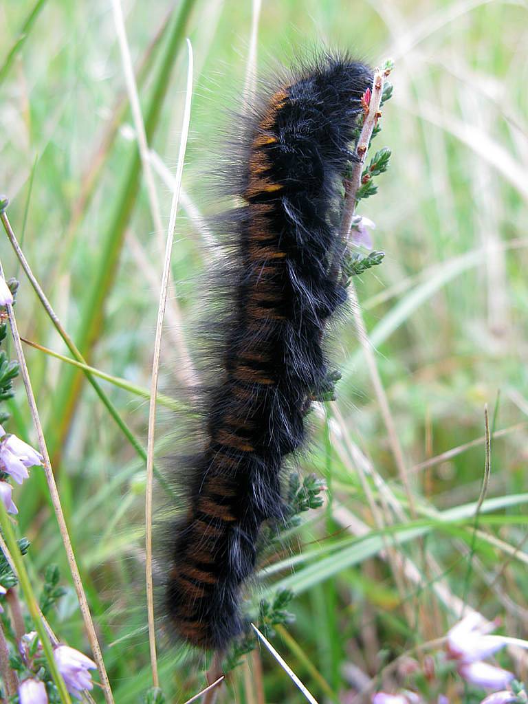
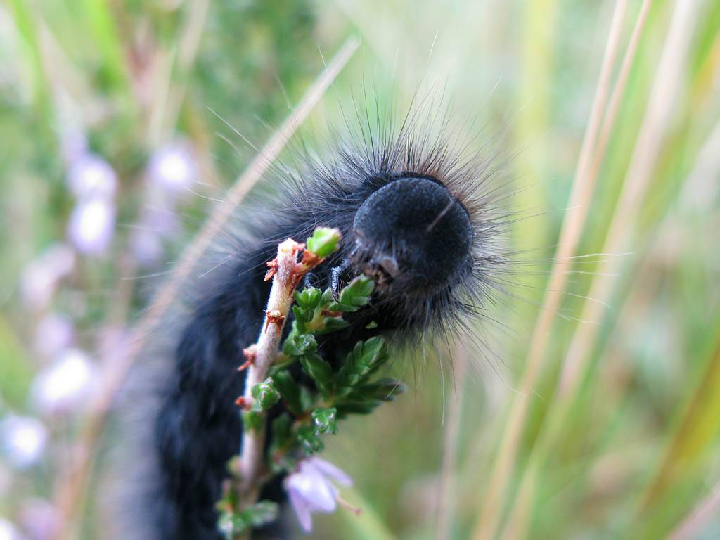
| Three macro shots of two Fox moth caterpillars. | Looking Southwards towards Stob Ban, and the Mamores as we walk from the car park to the start point. | Crossing over a bridge over Allt Choire Dheirg just before the start of the walk. | ||
 IMG_2309_2312_Panorama.jpg |
 IMG_2313.jpg |
 IMG_2314.jpg |
 IMG_2316.jpg |
 IMG_2317.jpg |
| Panorama of Sgurr a' Mhaim, Stob Ban and Coire Riabhach from Achriabhach. | Entering the forestry commision track at the start of the walk. | The smaller path that took us uphill. | Doing it in 'style'! | Carrying on up through the pine forest. |
 IMG_2318.jpg |
 IMG_2325.jpg |
 IMG_2328.jpg |
 IMG_2331.jpg |
 IMG_2332.jpg |
 IMG_2335.jpg |
| Looking Northeastwards up Glen Nevis. | As we go uphill alongside Allt a' Choire Dheirg, the stream appears to be a whole cascade of waterfalls as it descends over the steep hillside. | ||||
 IMG_2338_2339_Panorama.jpg |
 IMG_2341.jpg |
 IMG_2342.jpg |
 IMG_2350_2352_2353_Panorama.jpg |
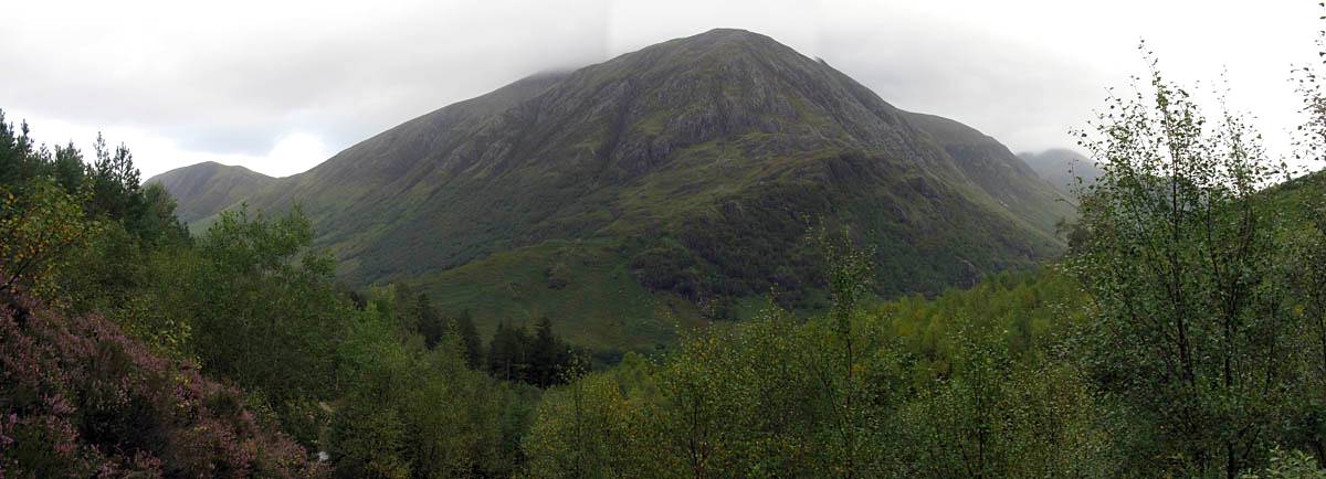
| Looking up at the buttress that forms part of a ridge leading up to Stob Ban. Sgurr a' Mhaim stands dominantly in the top left corner. | The path intersects a hairpin bend in the forestry commision track as it ascends the hillside. | Further up the path it opens out and is bordered by colourful heathers. | Looking across Glen Nevis to Carn Dearg, a side peak of Ben Nevis, as cloud starts to obscure the Ben Nevis summit again. |
 IMG_2354.jpg |
 IMG_2355.jpg |
 IMG_2357.jpg |
 IMG_2358.jpg |
 IMG_2359.jpg |
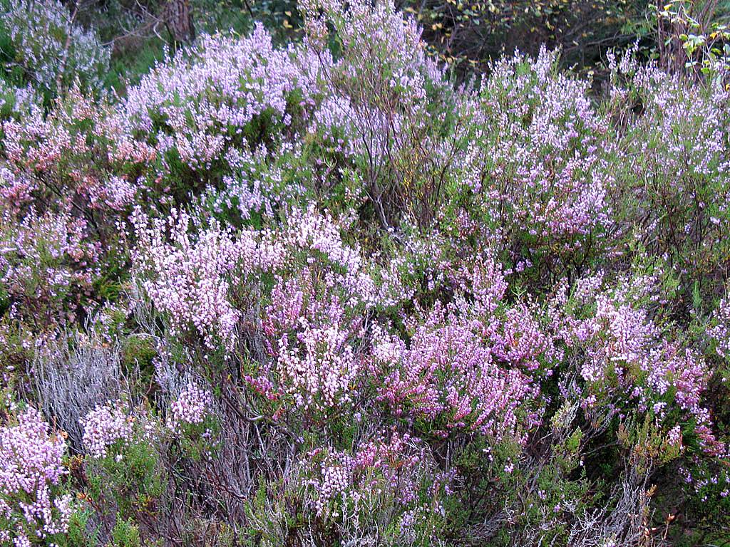
| Closeup shot of the heather. | Renée in front of Carn Dearg. | At the top end of the path we join the forestry commision track. Looking uphill (Stob Ban on the left) and downhill respectively. | From up here the view up Glen Nevis is far more commanding. | |
 IMG_2360_2363_Panorama.jpg |
 IMG_2367_2374_Panorama.jpg |
 IMG_2376.jpg |
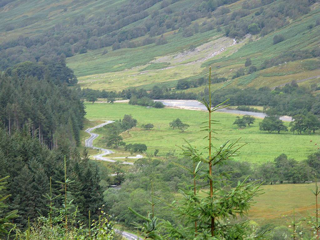
| Panorama looking up Glen Nevis. | 180 degree panorama taking in Carn Dearg, Sgurr a' Mhaim and the Stob Ban ridge. | Looking down to Polldubh Falls where we started. |
 IMG_2377.jpg |
 IMG_2380.jpg |
 IMG_2386.jpg |
 IMG_2388.jpg |
 IMG_2391.jpg |
 IMG_2393_2395_Panorama.jpg |
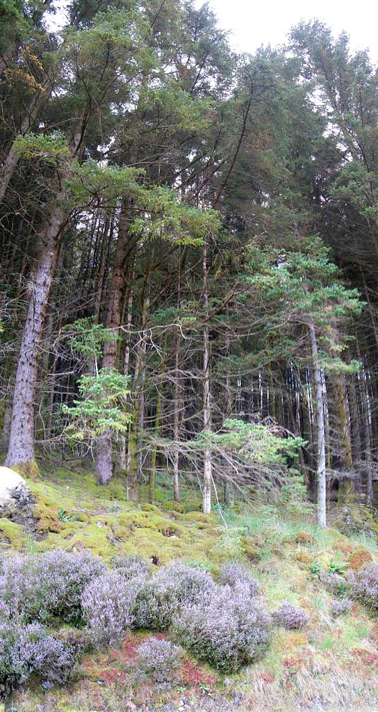
| Descending along the forestry commision track through dense pine forest. | Looking down the glen towards Fort William. A faint rainbow is visible in the centre. The mountain on the right is Meall an t-Suidhe, the mountain that blocks the view of Ben Nevis from Fort William. | Looking downstream as the road and river snake their ways towards Fort William. | Vertical panorama of the trees and the mossy heathery carpet. | ||
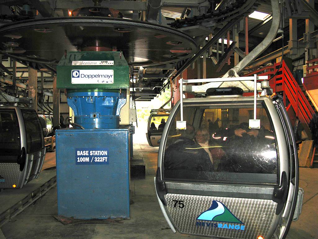
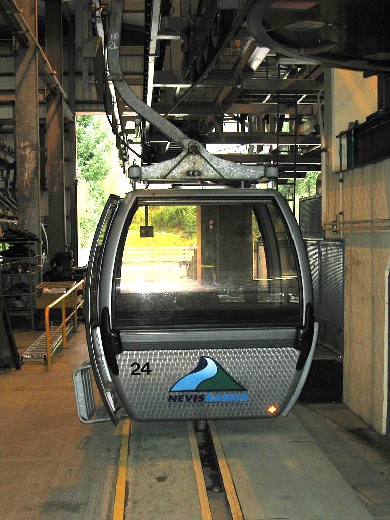
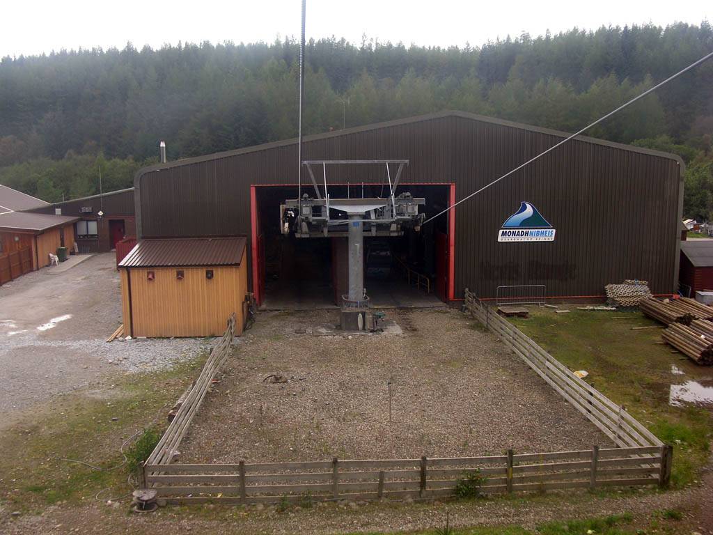
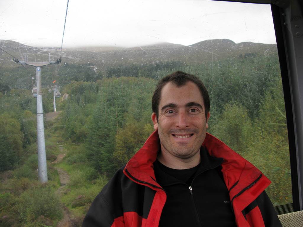
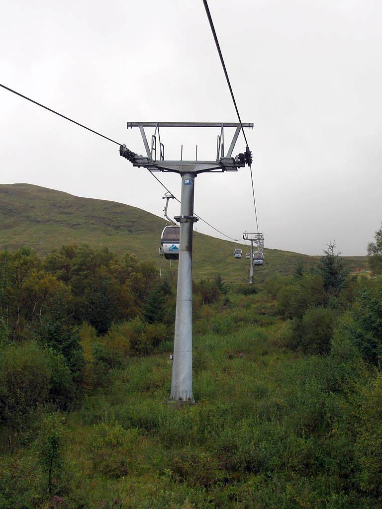
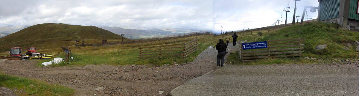
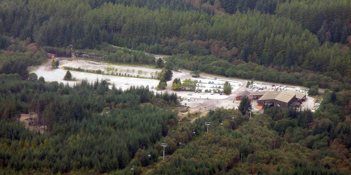
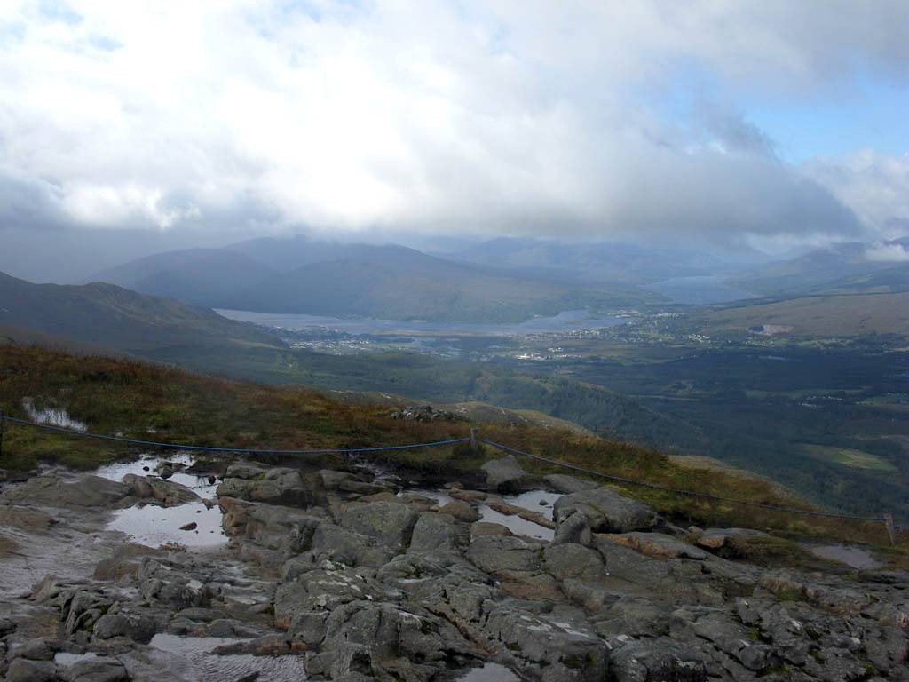
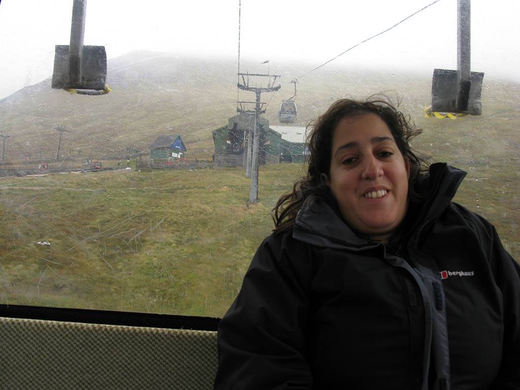
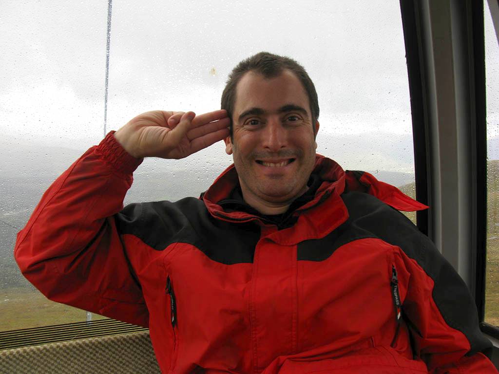
At 1pm we drove on to the Nevis Range on the slopes of Aonach Mor and took the Gondola to top station. It was blowing a hoolie and was rather cold up top. We weren't that far below cloudbase and a light shower was passing through. We took a cold windy walk to Sgurr Finnisg-aig viewpoint looking out towards the Great Glen, before returning to top station. We stopped to warm and and for food at the Snowgoose restaurant. Renée didn't want to do the other walk to the Meall Beag viewpoint near Ben Nevis as it was too cold and windy. So after we finished in the restaurant we took the Gondola back down again.
 IMG_2397.jpg |
 IMG_2400.jpg |
 IMG_2403.jpg |
 IMG_2404.jpg |
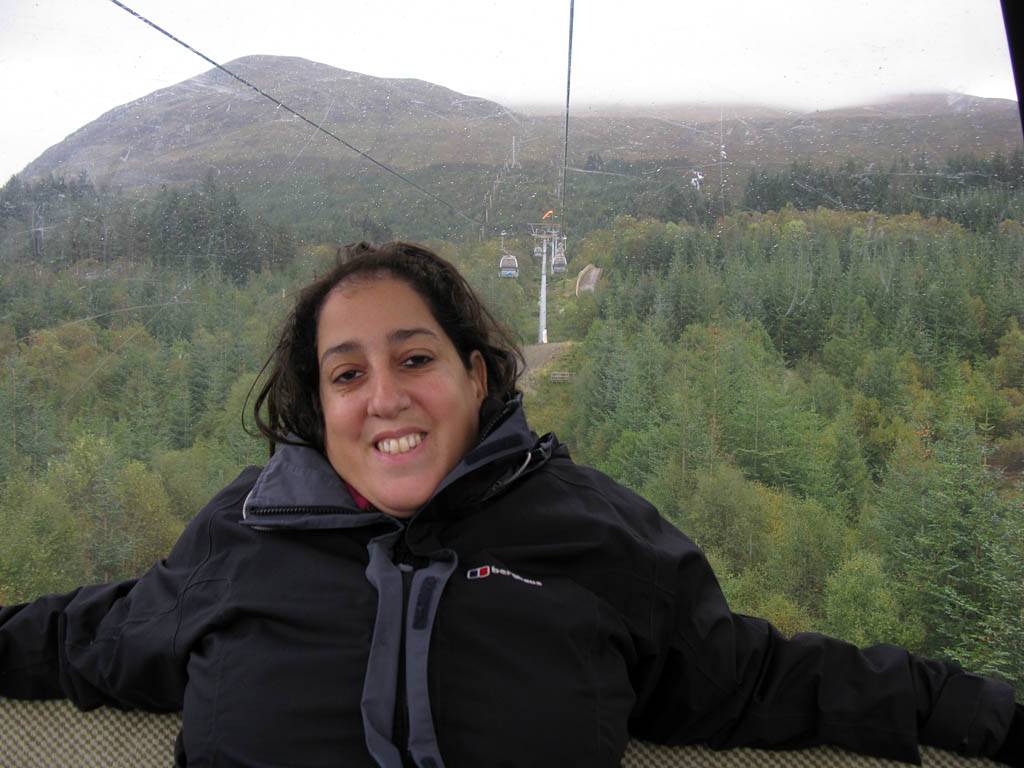 IMG_2405.jpg |
 IMG_2411.jpg |
| The Nevis Range cable car base station at 300ft. | On board a cable car ascending from the base station. | Looking across the Leanachan Forest to the Great Glen as a shower moves past. | |||
 IMG_2413_2415_Panorama.jpg |
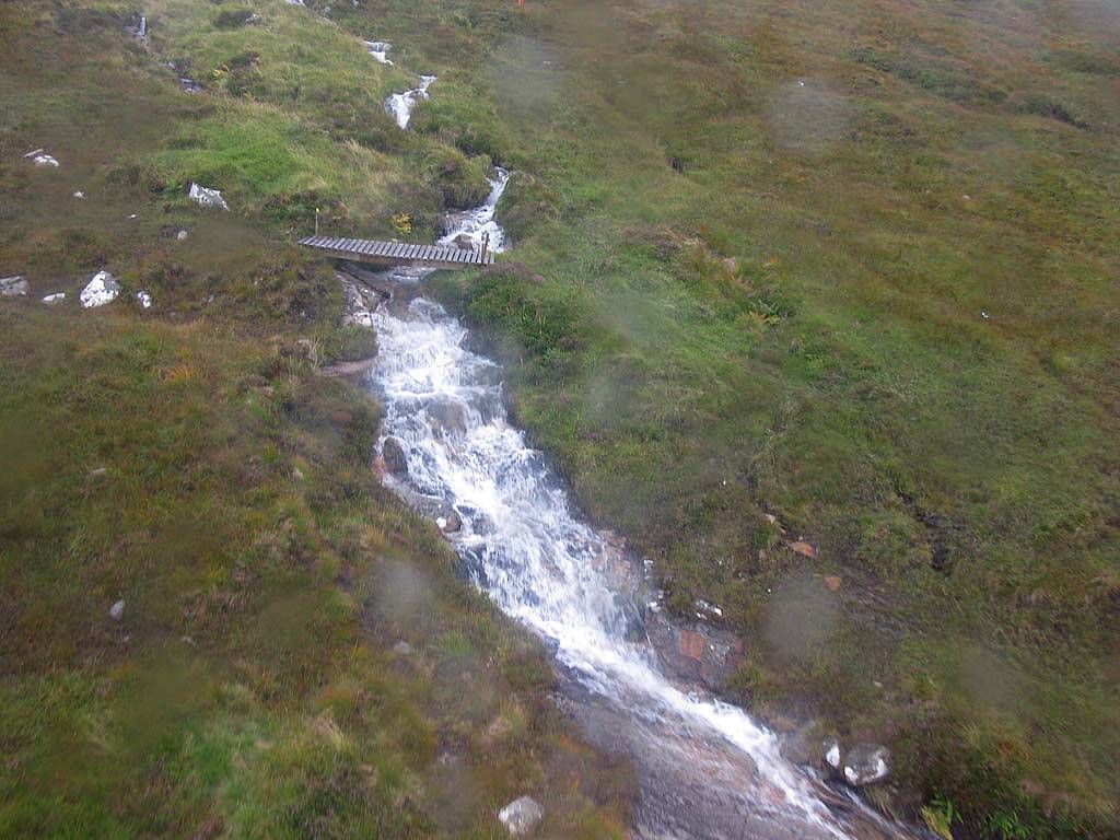
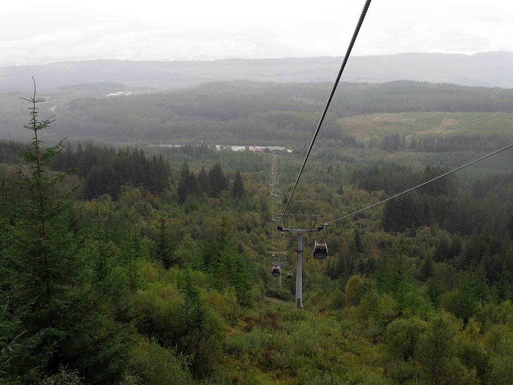 IMG_2416.jpg |
 IMG_2418.jpg |
 IMG_2424.jpg |
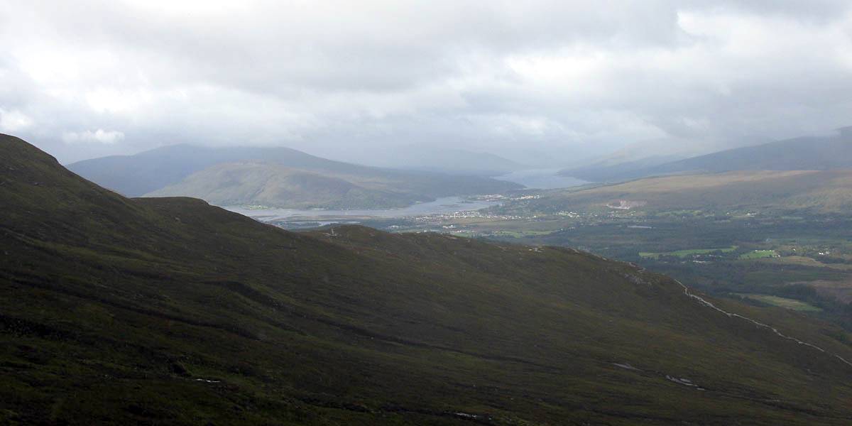 IMG_2425.jpg |
| Looking back towards Fort William as the cable car stops for a while. | Looking back down to the base station and up towards the top. Not far to the tree line now. | A waterfall on the Allt an t-Sneachda stream above the tree line. | Higher up the view of Fort William gets clearer and better. | |
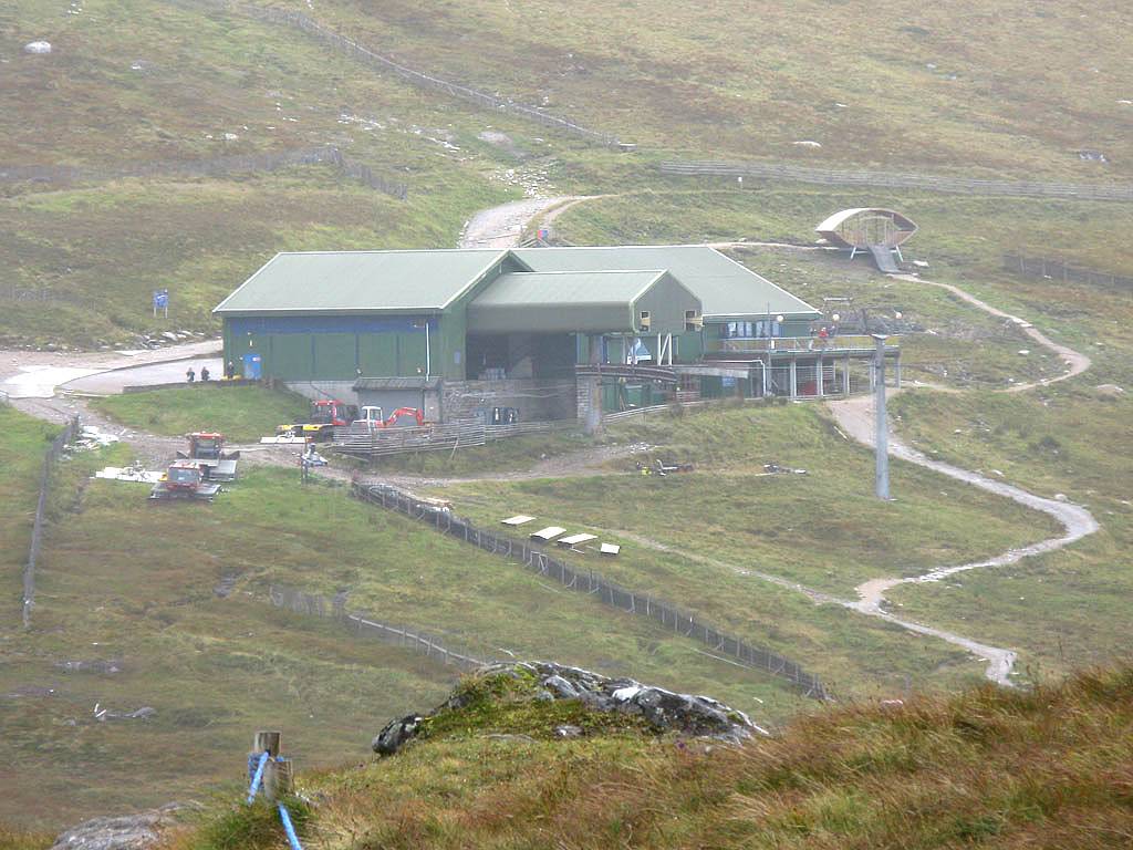
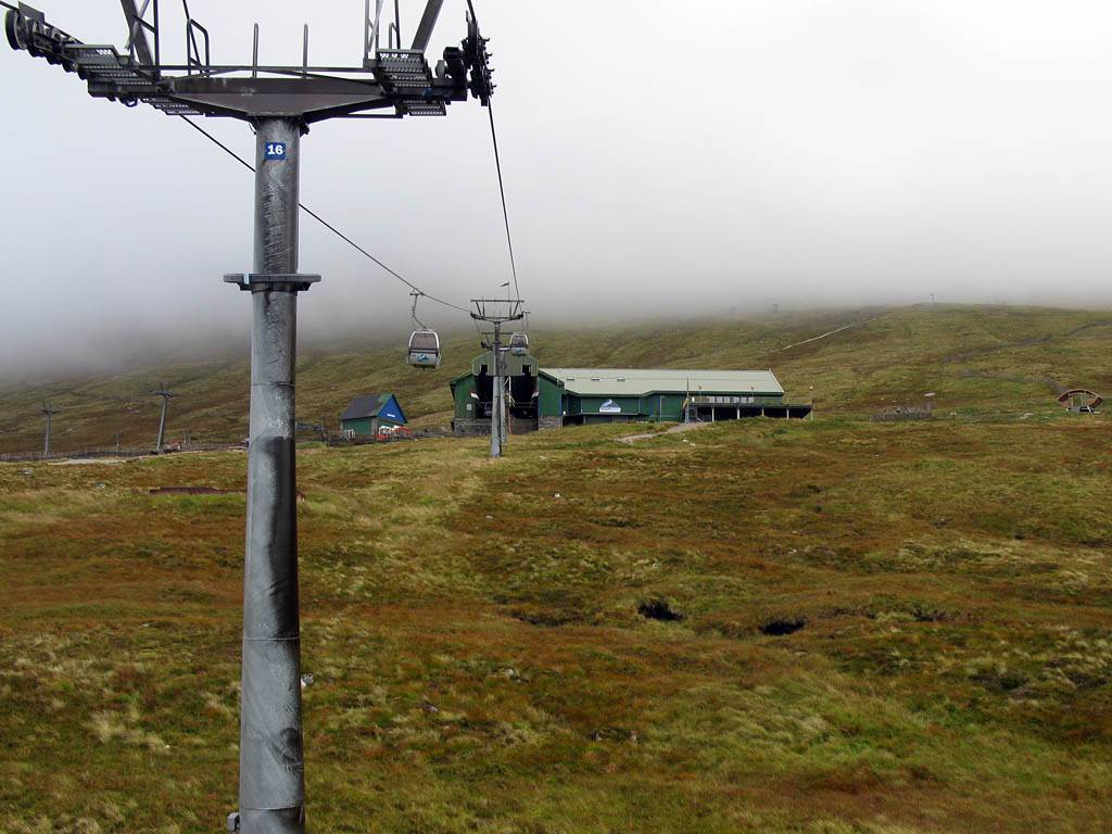 IMG_2426.jpg |
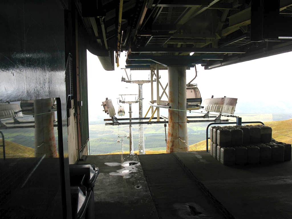 IMG_2427.jpg |
 IMG_2428_2430_Panorama.jpg |
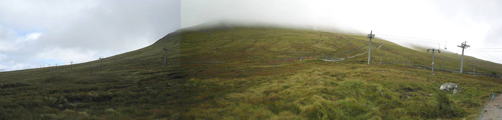 IMG_2431_2433_Panorama.jpg |
| Arriving at the top station at 655m (2150ft). Behind it the summit of Aonach Mor is shrouded in cloud. | Setting off on a short walk to the Sgurr Finnisg-aig view point. | Looking back at Aonach Mor as we cross the saddle from the top station to the view point. | |
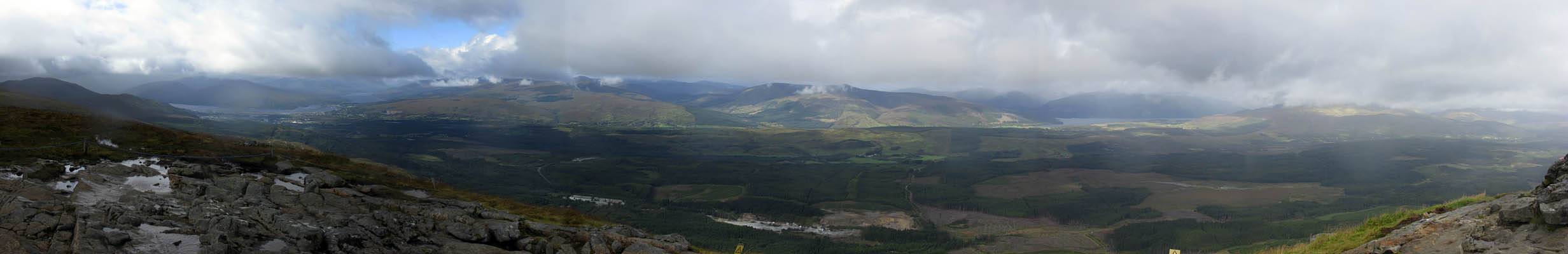
 IMG_2435_2447_360Panorama.jpg |
| 360 degree panorama taken at the Sgurr Finnisg-aig view point at 663m (2175ft). It was rather cold and wind swept up here. |
 IMG_2448.jpg |
 IMG_2450.jpg |
 IMG_2452.jpg |
 IMG_2453.jpg |
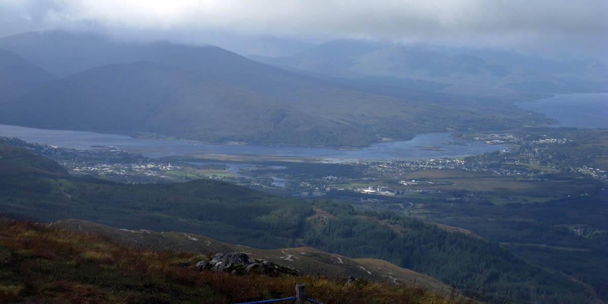
 IMG_2454.jpg |
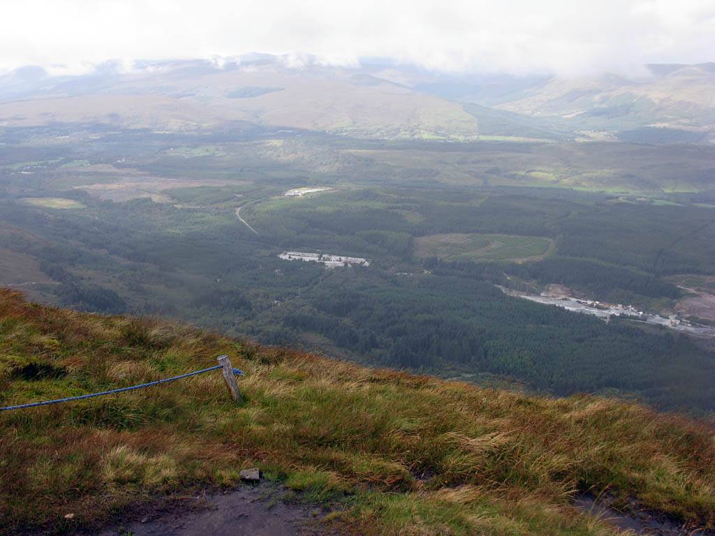
| Looking down to the car park and across the Great Glen just East of Fort William. | Looking back to the top station and across to Fort William from the view point. | |||
 IMG_2455_2460_Panorama.jpg |
 IMG_2464.jpg |
 IMG_2466.jpg |
| A panorama of The Great Glen from Fort William to Loch Lochy and Spean Bridge. | Descending on the cable car as a shower starts to soak us. | |
Once back down we set off back to BnB at 3:25pm where we had tea and biscuits, and a rest. Then at 6:30 we went to Everest Tandoori for supper before returning to the BnB via the petrol station to retire for the night.
Click here to return to the Scotland 2011 Index Page.
Click here to go back to Scotland 2011 Day 1.
Click here to go forward to Scotland 2011 Day 3.